Updated on 17 Sep 2024
Best DJI Drones For Surveying
Drone mapping collects accurate data - quickly and safely. But what is the best surveying drone? Find out in our guide to DJI mapping drones. ... Read More

Drones have become a vital piece of kit for surveyors.
Deploying unmanned aircraft on job sites yields fast and accurate data capture - gathered safely and efficiently.
One statistic shows that collecting topographic data with a drone is up to five times faster than with land-based methods and requires less manpower.
But what is the best drone for aerial surveying and mapping?
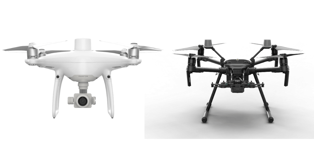
Until recently, the two DJI drones which stood out were the Phantom 4 RTK and the M210 RTK V2 with X7 camera.
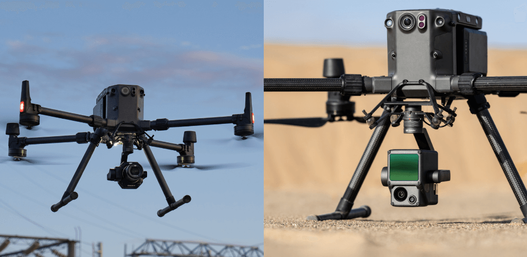
However, the unveiling of the P1 camera (below, left) and L1 LiDAR sensor (below, right) for the M300 RTK has changed things dramatically, transforming DJI's flagship commercial drone into a powerful aerial surveying tool.
So how does the M300 RTK compare to the Phantom 4 RTK and M210 RTK with X7 camera, and what are the advantages of deploying them on your job site?
Key Specifications
Before exploring these drones as surveying solutions, here are some of the aircrafts' key specifications.
M300 RTK | M210 RTK V2 | Phantom 4 RTK | |
Takeoff Weight | 9 kg (max) | 6.14 kg (max) | 1,391g |
Max Flight Time | 55 mins (without payload) | 26 mins (with X7) | 30 mins approx |
Operating Temperature | -20°C to 50°C (-4°F to 122°F) | -20° to 50° C | -0° to 40° C |
Hover Accuracy | Vertical: ±0.1 m (Vision System enabled) ±0.5 m (GPS enabled) ±0.1 m (RTK enabled) Horizontal: ±0.3 m (Vision System enabled) ±1.5 m (GPS enabled) ±0.1 m (RTK enabled) (With P-mode with GPS) | Vertical: ±0.33 feet (±0.1 m); Horizontal: ±0.33 feet (±0.1 m) (With D-RTK Mobile Station) | RTK enabled and functioning properly: Vertical: ±0.1 m; Horizontal: ±0.1 m |
Max Speed | S mode: 23 m/s P mode: 17 m/s | S-mode/A-mode: 81kph (50.3mph); P-mode: 61.2 kph (38mph) (With single downward gimbal) | P-mode: 50 kph (31mph) A-mode: 58 kph (36mph) |
IP Rating | IP45 | IP43 | None |
Camera Options | Zenmuse XT2 / XTS / Z30 / H20 / H20T / L1 /P1; Third-party payloads | Zenmuse X4S / X5S / X7 / XT / XT2 / Z30; Third-party payloads | Fixed 20MP camera |
Transmission Range | NCC/FCC: 15 km CE/MIC: 8 km SRRC: 8 km | NCC/FCC: 5 mi (8 km); CE/MIC: 3.1 mi (5 km) | FCC: 4.3 mi (7km); SRRC/CE/MIC/KCC: 3.1 mi (5 km) |
Introduction
Phantom 4 RTK
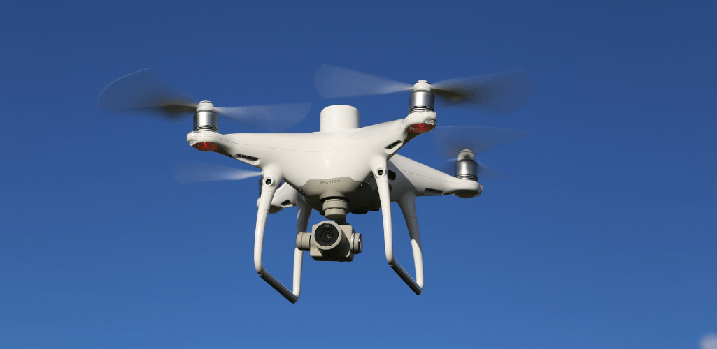
DJI released the Phantom 4 RTK in 2018 as a dedicated, out-of-the-box, all-in-one solution for low-altitude surveying and mapping.
M210 RTK V2
The DJI M210 RTK V2 is part of the DJI M200 Series V2. While it is not a dedicated surveying drone, it can be utilised for these missions when integrated with the Zenmuse X7 camera and the 24 mm/35 mm lenses (to be purchased separately).
M300 RTK
Recently, DJI unveiled the M300 RTK, a totally revamped and next-level version of the popular Matrice Series.

The M300 RTK cannot be integrated with the X7 camera, but it can carry the new P1 and L1 sensors (purchased separately), which are dedicated to aerial mapping and surveying.
The M210 RTK V2 and the M300 RTK can also be integrated with other DJI and third-party payloads, to further expand their versatility.
Which Drone Has The Better Camera For Mapping And Surveying?
Camera quality is a major consideration when it comes to aerial surveying.
Firstly, photogrammetry missions.
Drone photogrammetry is when a drone captures a large number of high-resolution images over a specific area. These images can then be processed by specialist software to generate accurate and realistic models of the world, which include key data such as measurements.
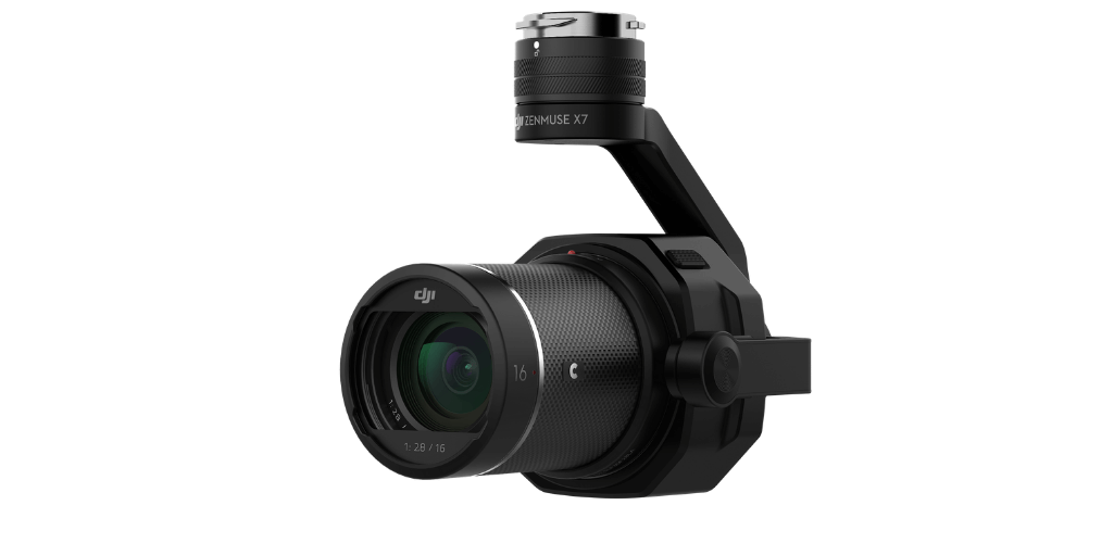
Prior to the release of the P1, the X7 was DJI's premier solution, with its 24MP camera, and choice of 24 mm and 35 mm lenses.
Other lense options are available for the X7, but the 24 mm and 35 mm (pictured) are opitmised for surveying and can store imagery with geotagged centimetre-level precision.

However, the P1 has changed things significantly, thanks to its 45MP full-frame low-noise high-sensitivity sensor.
Ultimately, better resolution equals better accuracy and, eventually, more precise 3D models.
P1 operators also have the choice of three interchangeable lenses: 24 mm, 35 mm, and 50 mm.
This gives greater versatility. A 35 mm lens is suitable for most mapping scenarios, but if the UAV operation needs to be higher, the 50 mm lens can be used. Similarly, the 24 mm is available for lower altitude flights.
In contrast, the Phantom 4 RTK has a fixed camera/lens which can capture 20MP imagery, with a focal length of 8.8 mm.
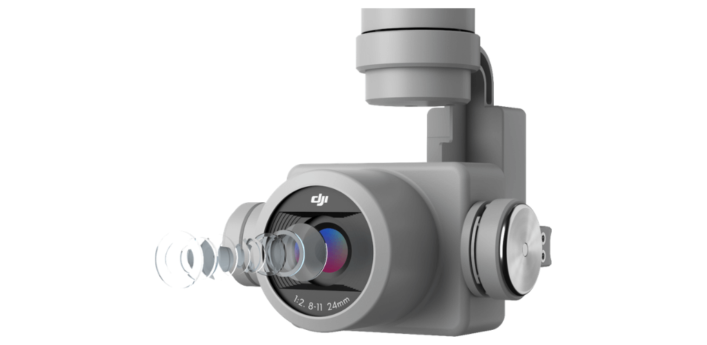
Having interchangeable lens options not only expands versatility, but it can also help to improve ground sample distance, which in turn boosts mission efficiency.
This is especially helpful for flying in a city environment and near to high-rise buildings – improving the operating radius and safety in the process.
What Is Ground Sample Distance?
GSD is defined as the length (in inches, centimetres, or millimetres) between the centres of two consecutive pixels on your map.
Or, to think of it another way, GSD can be considered as the length of one pixel in your map.
So, if a drone achieves a GSD of 5 cm/px, that equates to one pixel on your digital map corresponding to 5 cm in reality.
The smaller the GSD, the higher the accuracy.
Two factors impact this; quality of the camera - particularly focal length and camera resolution - and flight altitude.
So, how does the GSD compare between the M300 RTK with P1, the M210 RTK V2 with X7, and the P4 RTK?
M300 RTK/P1 | M210 RTK/X7 | P4 RTK |
24 mm: GSD = H/55 35 mm: GSD = H/80 50 mm: GSD = H/120 | 24 mm: GSD = H/61 35 mm: GSD = H/89 | GSD = H/36.5 |
As the table shows, the ability to integrate a 50 mm lens with the P1 camera enables surveyors to fly at a higher altitude; particularly useful when needing to fly above obstacles.
This, coupled with the increased endurance of the M300 RTK (43 minutes with P1 per battery set), is a powerful tool to capture vast amounts of accurate data in a single flight.
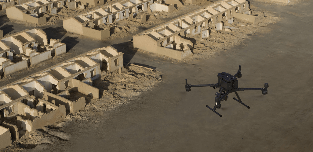
At the other end of the spectrum, the P4 RTK has to be flown at low altitude, compared to the other two drones, to capture the same GSD, meaning less data can be collected per flight.
What is interesting is that the X7 allows the M210 RTK V2 to be flown slightly higher than the M300 RTK-P1 combination with 24 mm and 35 mm lenses.
However, while you can fly slightly higher, the P1's larger sensor size and the wider field of view will enable you to capture bigger areas and cover more ground in a single flight, increasing efficiency.
The P1 also has extra capabilities which set it apart.
For instance, its sensor can take a photo every 0.7 s during flight, compared to the X7 and P4 RTK's 2.5 seconds - enabling greater coverage in less time.

The P1 also has a larger pixel size, while its Global Mechanical Shutter cancels rolling shutter distortion and allows the camera to handle shutter speeds of up to 1/2000th of a second.
The P1 also benefits from the new Smart Oblique Capture feature.
Here, the gimbal rotates and captures five different images from five different angles while flying along its predetermined flight path.
Your chosen flight parameters automatically tell the P1 to avoid capturing any unnecessary images and to only take those photos that are essential to the reconstruction of the region of interest.
This, again, increases efficiency - only capturing the data it needs to.
Cameras - Key Specs
A breakdown of the vital differences between the cameras is listed in this table below.
P1 and M300 RTK | X7 and M210 RTK V2 | P4 RTK | |
Weight | 787 g (camera) | 449 g (camera) | 1391 g (drone with camera and with battery) |
Supported Lens Options | DJI DL 24 mm; DJI DL 35 mm; DJI DL 50 mm. | DJI DL 24 mm; DJI DL 35 mm. (More lenses available but the two above are optimised for surveying). | Fixed camera/lens. The lens has a focal length of 8.8 mm. |
CMOS | Full-frame (36*24 mm) | S35 (23.5*15.7 mm) | 1 inch (13.2*8 mm) |
GSD | 24 mm, GSD = H/55; 35 mm, GSD = H/80; 50 mm, GSD = H/120. | 24 mm, GSD = H/61; 35 mm, GSD = H/89. | H/36.5 |
Effective Pixels | 45MP | 24MP | 20MP |
Pixel Size | 4.4um | 3.9um | 2.4um |
Shutter Speed | Mechanical Shutter Speed: 1/2000-1/8s; Electronic Shutter Speed: 1/8000-8s | Mechanical Shutter Speed: 1/1000-8s; Electronic Shutter Speed: 1/8000-8s | Mechanical Shutter Speed: 8-1/2000s; Electronic Shutter Speed: 8-1/8000s. |
Shortest Time Interval | 0.7 seconds | 2.5 seconds | 2.5 seconds |
Efficiency | With M300 RTK - 43 minutes per set of batteries; Up to 10x more efficient than P4 RTK. | With M210 RTK V2 - 26 minutes per set of batteries; 1.2x more efficient than P4 RTK. | The P4 RTK has a fixed camera. Achieve 30 minutes of flight per battery. |
Added Versatility
The versatility of the M300 RTK and/or the M210 RTK V2 is another advantage of having them in a drone fleet.
The M300 RTK can carry up to three payloads at a time and can be integrated with a range of sensors.
This includes the H20 series - engineered for the M300 RTK - and feature:
H20T: 20 MP Zoom Camera; 12 MP Wide Camera; 1200 m Laser Rangefinder; 640×512 px Radiometric Thermal Camera.
H20: 20 MP Zoom Camera; 12 MP Wide Camera; 1200 m Laser Rangefinder.
The M300 RTK and M210 RTK V2 can also carry payloads such as the XT2 thermal camera, Z30 zoom camera, and third-party payloads.
Thermal and zoom cameras can be crucial on a job site, such as surveying missions which include inspection.
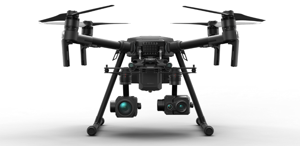
In contrast, the Phantom 4 RTK has a fixed camera and cannot be integrated with alternative sensors.
LiDAR And The Zenmuse L1
LiDAR has become an increasingly common surveying method.
This technology uses rapid laser pulses to map out the shape of the earth and its surface characteristics.
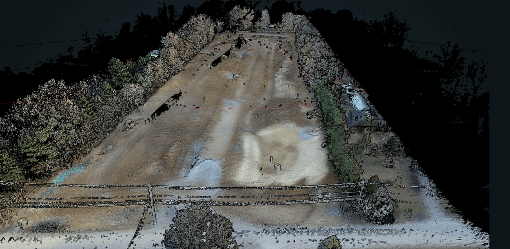
These precise measurements can then be used to create 3D models and maps of objects and the environment.
DJI has recently released the Zenmuse L1; an all-in-one solution with a LiDAR sensor and 20MP camera - engineered exclusively for the M300 RTK.
DJI released the L1 in response to demand from DJI users in the AEC and surveying industries, who required a powerful yet accessible LiDAR drone solution.
The L1 meets this criteria, and in doing so, further expands the M300 RTK as a surveying tool and enables operators to stay within the DJI ecosystem.
There are several key features of the L1 - which is IP54 rated - which make it a powerful LiDAR solution.
These include:
1: Integrated IMU for High Accuracy
The L1 has a high-accuracy IMU (inertial measurement unit).
This measures a drone’s real-time 3-axis acceleration and angular velocity, thereby calculating the aircraft’s speed, position, and altitude angle.
A high-accuracy IMU is pivotal for quality LiDAR data collection because, without it, your point cloud would be nothing but an arbitrary collection of points.
In typical operating scenarios, the L1 delivers IMU accuracy of 0.025°(roll/pitch)/0.08°(yaw).
A vision sensor for positioning accuracy and a dual-frequency GNSS receiver have been incorporated into this sensor for further reliability and precisione solution.
This allows the L1 to deliver a relative survey-grade accuracy of 5 cm and absolute accuracy of 10 cm while flying at an altitude of 50m.
2: 3-Axis Stabilized Gimbal for Data Gap Elimination
The L1 has a 3-axis stabilised gimbal in the box.
This ensures that any inadvertent rotational movement of your drone (tilt, roll, and pan) is stabilised within ±0.01°.
This enables equivilent point distribution, even at very high scan rates. Therefore, the risk for data gaps reduces, reducing the costs associated with re-flying.
3: 20MP Photogrammetry Solution
One of the biggest advantages of the L1 is its all-in-one nature, ie, it incorporates a LiDAR sensor, a high-accuracy IMU, and an RGB camera for photogrammetry missions.
This 20MP one-inch CMOS sensor can be used for imagery, videos, and providing real-time colour informatioin for the point cloud data during the scanning process.
This enables the L1 to output true colour point clouds and reality models.
The RGB camera also has a mechanical shutter to eliminate rolling shutter distortion.
In fact, it is the same sensor as the one on the Phantom 4 RTK, meaning that the L1 can achieve a GSD of 2.74 cm at 100 metres of flight altitude during photogrammetry missions.
4: 3 Returns for Dense Foliage Penetration
The L1 has a detection range of up to 450 metres and delivers an effective point rate of 240,000 points per second.
As an added advantage, the L1 allows up to 3 returns per laser shot, increasing the point rate to 480,000 per second in operations with two or three returns.
How does this help?
This multi-return capability means the L1 can generate elevation data in dense forest fields and extract it into DEM (Digital Elevation Models) and DSM (Digital Surface Models).
It also enables analysists to classifiy different objects in a point cloud, such as overhead wires.
5: Non-Repetitive Scan Mode for Full Coverage
The L1 is the only aerial LiDAR sensor to support a line scan mode and a non-repetitive scanning pattern.
In this mode, as the integration time grows, so does the area being scanned inside the field-of-view.
This increases the chances of objects and other details within the FOV being detected. And the longer the drone LiDAR sensor scans an area, the higher the resolution of the data becomes (when compared to regular line scan).
When deploying Non-Repetitive Scan Mode, the L1 can provide full coverage of the area of interest in very short amounts of time.
It also enables the sensor to capture data in any direction, instead of along a defined plane.
Accuracies, Data, Base Stations, And PPK And RTK
When equipped with the P1, the M300 RTK can achieve accuracies of 3 cm horizontally and 5 cm vertically - using Mapping Mission at a GSD of 3 cm, with an 75% front overlap rate and a 55% side overlap rate.
Using the 24 mm focal length, and flying at a height of 109 metres, a GSD of 2 cm can be achieved.
If the P1's 50 mm lens is being used, and the M300 RTK is flying at 120 metres, a 1.05 cm GSD can be obtained.
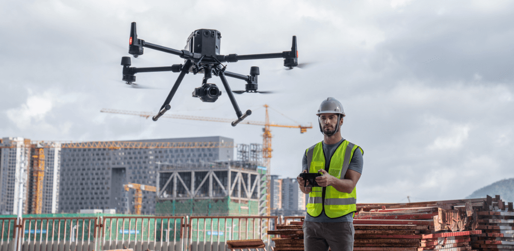
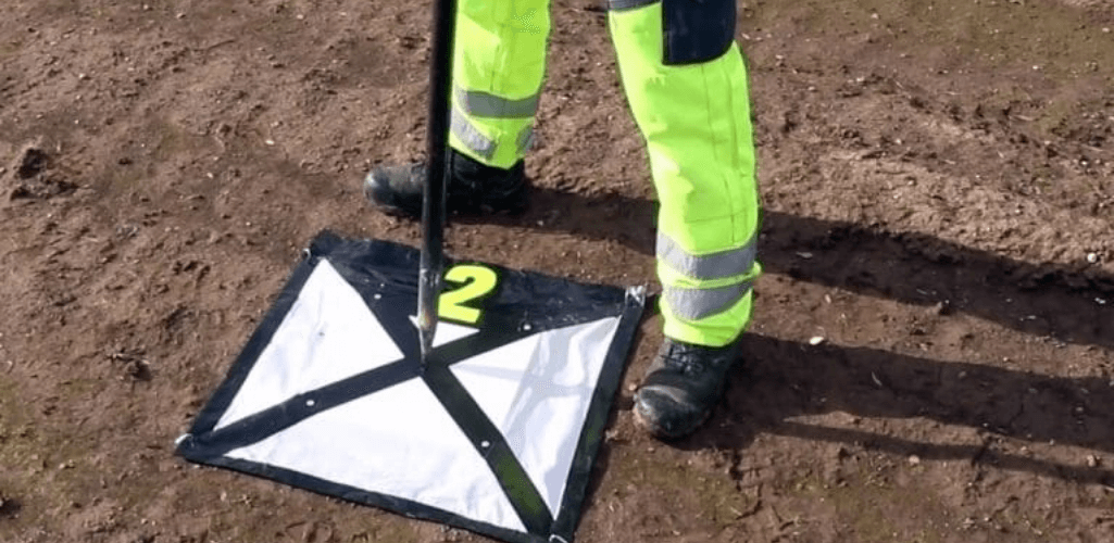
This accuracy can be achieved without laying any ground control points, which is impressive.
The addition of several well-placed GCPs will only serve to increase these accuracies further.
Meanwhile, at a flight height of 50 m, the vertical accuracy of the P1 can reach 5 cm and the horizontal accuracy can reach 10 cm.
Alternatively, the L1 can deliver relative survey-grade accuracy of 5cm and absolute accuracy of 10 cm while flying at an altitude of 50m.
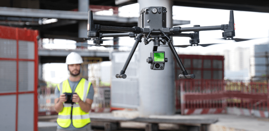
When it comes to the Phantom 4 RTK and positioning accuracy, the drone can achieve 1 cm+1 ppm (horizontal), and 1.5 cm + 1 ppm (vertical) accurate data.
While this is impressive, 2D and 3D reconstructions won't have this level of accuracy.
Rather, the 2D/3D model accuracies should be on average 40 mm without any ground control points (GCPs), according to an accuracy report by Skeye BV (now Terra Drone Europe).
When in need of even higher accuracies, the RTK flight positions are a good photogrammetric support of a well-distributed network of GCPs.
In contrast, at a GSD of 2 cm, the orthoimages produced by the M210 RTK V2 and X7 can achieve absolute horizontal accuracy of less than 5 cm, when using DJI Terra as the mapping software.
TimeSync
The M210 RTK V2 and the Phantom 4 RTK benefit from a TimeSync system, which continually aligns the flight controller, camera and RTK module.
However, the P1 has an all-new TimeSync 2.0.
This, coupled with the global mechanical shutter, synchronises time across modules at the microsecond level, enabling users to capture centimetre-accurate data, combined with the real-time position and orientation compensation technology.
While the Phantom 4 RTK can offer millisecond-level precision, TimeSync 2.0 takes things up a notch to provide synchronization at the microsecond level.
Base Station Compatibility
All three drones can be deployed in conjunction with the D-RTK 2 Mobile Station – DJI’s upgraded high-precision GNSS receiver that supports all major global satellite navigation systems.
This provides real-time differential corrections that generate centimetre-level positioning data for improved relative accuracy.
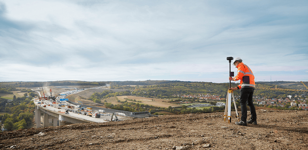
As a result, utilising either drone will mean that surveyors will not need to lay out as many ground control points across the job site - improving safety and enhancing efficiency in the process.
It is important to note that different modes need to be selected when using the Mobile Station with the M210 RTK V2, Phantom 4 RTK, or M300 RTK.
The D-RTK 2 mobile station only supports one of the three models at a time.
You cannot connect third-party base stations to the M300 RTK, M210 RTK V2, the Phantom 4 RTK or the remote controller via a radio station.
However, you can obtain data from a network RTK server via Ntrip protocol in 4G/Wi-Fi network environment.
Satellite observation data can also be saved in the aircraft for users to conduct post-processed kinematics (PPK) to complete their tasks.
RTK and PPK
The M210 RTK V2 and the Phantom 4 RTK support PPK functionality, as well as RTK, while the M300 RTK supports RTK and PPK with the P1, and RTK with the L1.

In terms of PPK with the M300 and P1, the task folder stores photos, original GNSS observations, and TimeStamps.MRK files, which are used for PPK post-processing calculations.
The M210 RTK V2 stores RTK RAW data and time data during the flight mission that can be used for post-processing with PPK software to achieve high-precision positioning data when the RTK signal is weak.
The Phantom 4 RTK supports the following PPK file types:
EVENTLOG.bin is a binary format that stores exposure, time stamp and log file;
PPKRAW.bin is an RTCM3.2 MSM5 format that stores satellite observation data and ephemeris data;
Rinex.obs is a Rinex file format that is created after transcoding;
Timestamps.MRK is an ASCII format that stores exposure and time stamp.
RTK and PPK are two different kinematics technologies that reference data in different ways. Both achieve centimetre-level precision.
Operators are recommended to use RTK when flying in environments that allow for real-time connection via OcuSync or 4G and when convenience and efficiency are preferred.
For users who have no demand on timeliness and/or need to operate in conditions without connectivity, PPK is a better option.
For an in-depth guide about RTK and PPK, click here.
Operating Applications
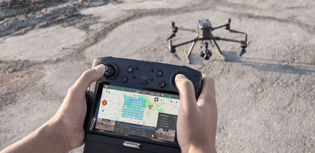
M300 RTK With P1
The P1 supports these operating modes:
Aerial photography
Oblique photography
Corridor mapping flight
Waypoint flight
Manual operation
To elevate the efficiency of oblique photography, the P1 can be operated in Smart Oblique Capture mode.
Currently, only the DJI Pilot app is supported for the M300 RTK-P1 combination.
M300 RTK With L1
The L1 is a powerful LiDAR solution.
Operators are able to generate true-color point cloud models in real-time, or acquire 2 km² of point cloud data in a single flight (Over 30 minutes, at a speed of 10m/s, a flight altitude of 100 m, with a side overlap rate of 20%, point cloud density > 200 points/m2.).
Real-time point clouds provide immediate insights onsite, so operators are informed to make critical decisions quickly.
Surveyors can also verify fieldwork quality by checking point cloud data immediately after each flight.
Team members can also acquire and communicate critical dimensions on the point cloud model by using measurements and annotations.
The L1 currently supports only the Android version of the DJI Pilot App.
Phantom 4 RTK
Because the Phantom 4 RTK is a dedicated mapping and surveying drone, operators can take advantage of the purpose-built DJI GS RTK app and remote controller with built-in screen – enabling streamlined control for surveying missions and other data acquisition scenarios.
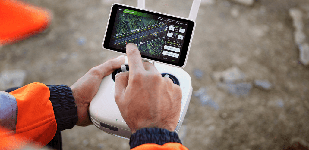
The GS RTK app allows pilots to intelligently control their Phantom 4 RTK, with multiple planning modes, including Photogrammetry (2D and 3D), Waypoint Flight, Terrain Awareness, and Block Segmentation.
Block Segmentation is an incredibly useful tool, allowing you to control five Phantom 4 RTK’s simultaneously – aiding mission efficiency and enabling you to cover larger areas of your job site, quicker.
Through the DJI GS RTK app, users can also import KML/KMZ files to optimise the workflow for their missions.
Recently, DJI released the Phantom 4 RTK SDK Edition.
This is similar to the standard Phantom 4 RTK offering, except that it features the Phantom 4 RTK SDK Remote Controller without screen.
The Phantom 4 RTK SDK Remote Controller is Mobile SDK compatible, meaning that pilots familiar with using third-party applications on DJI drones can now access the world's leading drone app ecosystem, such as the Esri Site Scan Flight App.

M210 RTK V2
In contrast, the M210 RTK V2 is compatible with DJI Pilot for Android and GS Pro.
Operators can use Mapping mode or Oblique mode in DJI Pilot.
2D orthographic flight paths can be generated in Mapping mode after you set the required flight area.
Meanwhile, in Oblique, five flight paths will be automatically generated after you set the required flight area.
Which Drone Mapping Software Can Be Used?
The DJI Phantom 4 RTK has full compatibility with DJI’s dedicated surveying software tool, DJI Terra.
This means that Phantom 4 RTK operators can use Terra for flight planning and 2D and 3D reconstruction.
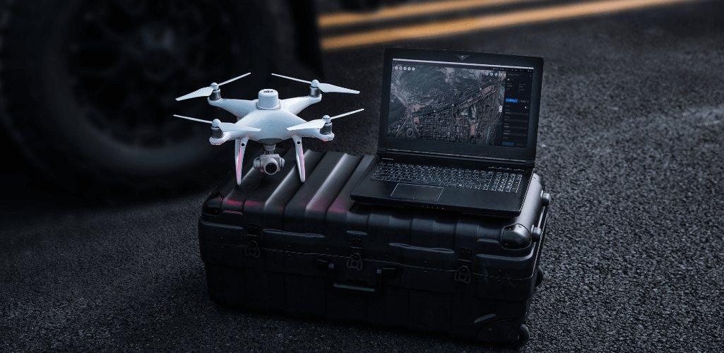
Photographs captured by the M210 RTK V2 can be imported to DJI Terra for 2D and 3D Reconstruction (DJI Terra has been optimised specially for Zenmuse X7), however, the Mission Planning or Real-time Mapping features in Terra can not be utilised with the Matrice solution, and operators will instead need to use DJI Pilot for flight planning.
Both the P1 and L1 can utilise DJI Terra.
With the L1, and for high-accuracy post-processed modeling, you can import the data from the SD card into DJI Terra with one click.
DJI Terra fuses the IMU and GNSS data for point cloud and visible light calculations, in addition to conducting POS data calculations so you can effortlessly generate reconstructed models and accuracy reports.
Using DJI Terra provides an all-in-one, end-to-end mapping solution within the DJI ecosystem.
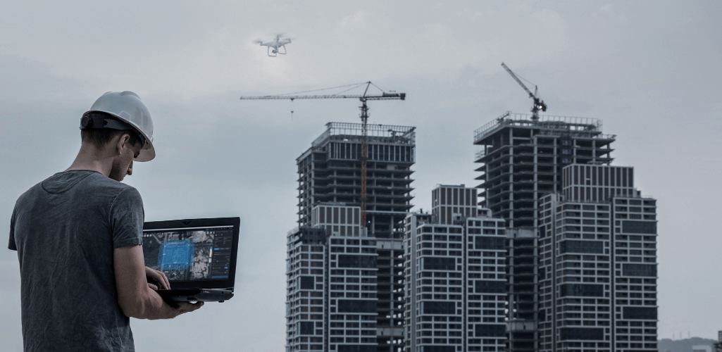
This software package has optimised its processing speeds exponentially since its launch and is now more efficient than ever.
It allows surveyors to work on real-time mapping missions and comes with neat automation features like Region of Interest that allow for image reconstruction to be performed on a specific target region.
Other drone software can be used but packages which support the RTK functionality side of the drone are few and far between. In this case, you will end up with GPS standard data, as there is no way to connect to an RTK Network or D-RTK 2 within the applications.
However, the Site Scan Flight App does support RTK functionality for the Phantom 4 RTK.
Battery and Transmission Distance
When it comes to flight time and transmission distance, there is only one winner.
In fact, there is a night and day difference between the M300 RTK and the other two drones.
When integrated with the P1, the M300 RTK can stay airborne for 43 minutes.
Or, to put it another way, the M300 RTK-P1 combination can cover one square mile of 2D ortho coverage under single flight.
In comparison, the L1 and M300 RTK can cover two square miles under a single flight.
Meanwhile, there isn’t too much separating the DJI M210 RTK V2 and X7, and the Phantom 4 RTK when it comes to flight time.
In this department, the Phantom 4 RTK has the slight edge, able to muster around 30 minutes in the air, while the M210 RTK integrated with the X7 can achieve around 26 minutes.
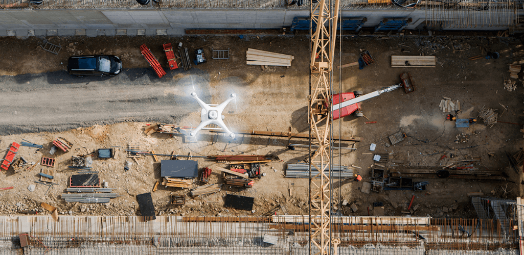
As previously stated, the M300 RTK and M210 RTK V2 can carry a variety of payloads for added mission versatility.
This is how they compare.
M300 RTK | M210 RTK V2 | |
H20T | 43 min | Not supported |
H20 | 45 min | Not supported |
XT2 | 45 min | 27 minutes |
Z30 | 46 min | 27 min |
XT2 + Z30 | 39 min | 22 min |
X5 | Not supported | 28 min |
X5S + Z30 | Not supported | 25 min |
H20 + XT2 | 39 min | Not supported |
The M300 RTK has an impressive transmission range - the best of any DJI drone to date - stretching to 15 km (NCC/FCC), or 8km (CE/MIC).
Both the M210 RTK V2 and the Phantom 4 RTK have an operating range of 3.1 miles/5km (CE) when unobstructed and free of interference. For American users (FCC), the M210 RTK V2 has a 5 mile/8km range, compared to the 4.3m/7km of the Phantom 4 RTK.
Safety Features
Safety is an important part of any drone flight and the DJI ecosystem is among the safety on the market.
M300 RTK
As DJI's flagship commercial drone, the M300 RTK sets a new standard for safety, and is the company's safest platform yet.
These enhanced safety features include six direction dual visual sensors, dual Time-of-Flight (TOF) sensors, dual auxiliary lights, and an adjustable detection range of between 1 to 40m.
The aircraft also benefits from DJI��’s AirSense technology - which enhances airspace safety by automatically providing the operator with real-time information about nearby airplanes and helicopters.
Meanwhile, advanced redundancy features include the three-propeller Emergency Landing, and Dual Operator Control.
To further increase flight safety, the M300 RTK has a maximum wind speed resistance of 15 m/s and an IP45 rating.
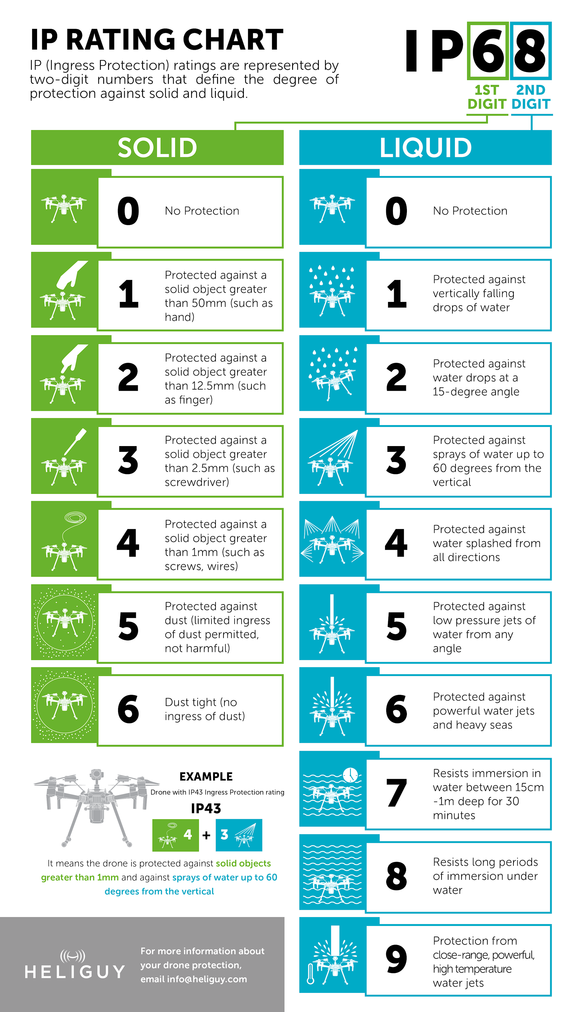
While this isn't a complete waterproofing, DJI has stated that the M300 RTK can withstand 100 mm of rain during a 24-hour period.
This robustness ensures that missions can be conducted in tricky conditions - reducing downtime.
If you need to perform operations in extreme weather conditions, the Matrice 300 RTK could be the best surveying drone for you.
Find out how water-resistant the M300 RTK is by clicking here.
M210 RTK V2
By comparison, while the M210 RTK V2 doesn't include as advanced safety features as the M300 RTK, it is still a very reliable drone.
It has DJI’s AirSense technology, top and bottom anti-collision beacons, and front, bottom and upper obstacle avoidance sensors.
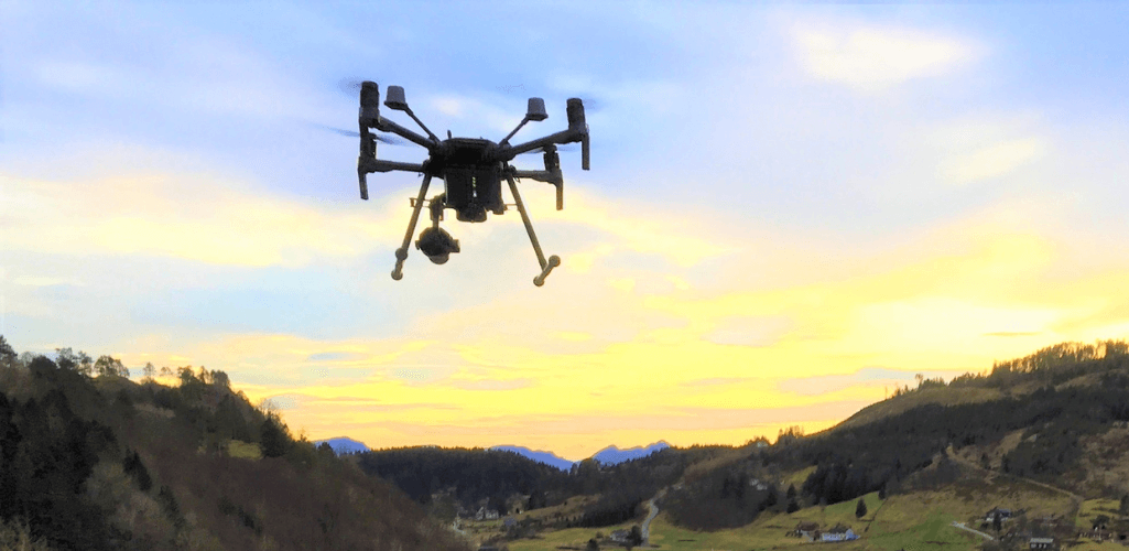
The M210 RTK V2 has an IP43 rating, which means that the drone can operate in light rain, and a wind-speed resistance of 12 m/s. You can read our guide to flying in the rain, here.
The M210 RTK V2 also has dual RTK antennas, providing powerful antimagnetic interference capability and holding the drone steady - a crucial factor if operating close to infrastructure.
Phantom 4 RTK
The Phantom 4 RTK does not benefit from such an array of safety features, nor does it have an IP rating, but it is still a reliable option.
The drone benefits from OcuSync technology, and has an obstacle sensing range of 0.7 metres to 30 metres.
Thanks to RTK, the drone can automatically resume a mission after the battery has been replaced.
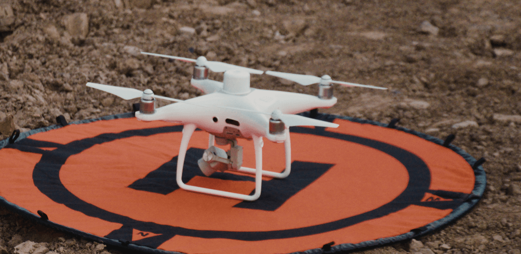
DJI M300 RTK v M210 RTK V2 v Phantom 4 RTK – Which Is The Best Surveying Drone?
Drones have become a vital tool for surveying and the M300 RTK, M210 RTK V2 and Phantom 4 RTK are very capable platforms for the job.
The Phantom 4 RTK is a dedicated surveying drone, so if that is your only requirement, it is a suitable option.
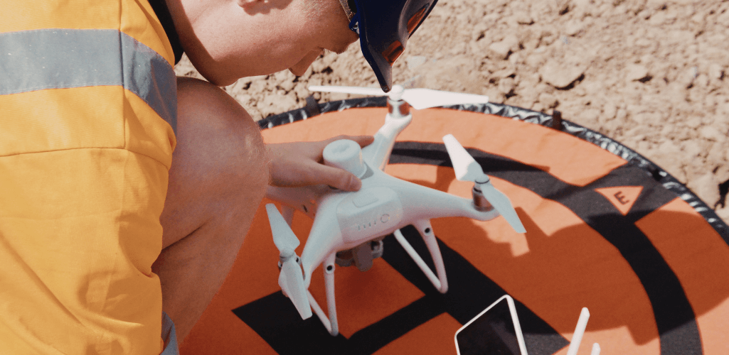
It’s out-of-the-box capabilities ensure a quick launch and its user-friendly design and controls make it an ideal companion for surveyors who are starting out with drones on their job site.
The Phantom 4 RTK is especially suited for low-altitude mapping missions, over smaller job sites.
Meanwhile, the M210 RTK V2 offers greater versatility - able to carry a range of payloads for different types of missions - while the X7 camera does provide that extra bit of quality over the Phantom 4 RTK’s sensor.

Prior to the release of the P1 and L1, the M210 RTK V2 had the advantage over the M300 RTK; in terms of using the DJI ecosystem as a surveying solution.
But these new and dedicated surveying sensors - which are due to be available for order in early 2021 - have changed the landscape completely.

In fact, it wouldn't be a surprise if they rendered the M210 RTK V2 obsolete.
Combining the P1 or L1 with the high-class capabilities of the M300 RTK makes this drone a powerful surveying solution.
It even makes this drone stand-up to good quality mapping fixed-wing drones.
As the table shows below, there are pros and cons of using each system.
Solutions | Pros | Cons |
M300 RTK + L1 | • Highly adaptable: Does not rely on lighting conditions or target texture. • Collect elevation data in dense vegetation field. Able to extract DEM and DSM. • High-density modelling on detailed subjects, such as power lines and bridges. Output highly-detailed point-cloud data. • Efficient: Two square miles of ground coverage during a single flight. • Integrate with the M300 RTK, which is DJI's flagship commercial drone. | • Not suitable for 2D reconstruction use. • Rely on initial POS state. |
M300 RTK + P1 | • Multiple Operation Modes: 2D orthomosaic, 3D oblique, corridor, and others. • Efficient: One square mile of 2D orthomosaic coverage during a single flight. • High Accuracy: 1:500 surveying-level accuracy data sets without using ground control points. • High Resolution: 45MP full-frame CMOS. • Integrate with the M300 RTK, which is DJI's flagship commercial drone, with IP45 rating and increased flight time. | • Unable to conduct DEM reconstruction. • Relatively low reconstruction efficiency compared with DJI L1. • Unable to operate at night time and unable to reconstruct areas with no visual texture. |
M210 RTK V2 + X7 | • When equipped with either the 24 mm or 35 mm lens, the X7 is optimised for surveying. • M210 RTK V2 is a rugged drone with its IP43 rating. • Versatile solution which can be equipped with cameras such as the Z30 or XT2 to cover a broader range of missions. | • Can't use D-RTK2 as a handheld rover • Available apps not as good as Ground Station RTK for the Phantom 4 RTK. • Missing features like block segmentation. |
Phantom 4 RTK | • Low entry barrier, cost-efficient. • Multiple Operation Modes: The GSR app integrates multiple intuitive mission planning modes for different applications and generates waypoints and flight routes automatically with few parameters determined. • Highly-integrated all-in-one form factor, with camera fixed to drone. It is also highly portable. | • Relatively low operating efficiency compared to the P1. • Lower resolution payload (20MP compared to 45MP on the P1). • Not ideal for large-area operations. • Unable to operate at night time and is unable to reconstruct an area with no visual texture. |
However, the M300 RTK has become DJI's top-tier surveying drone, especially for surveyors wanting to cover larger sites and/or benefit from LiDAR data sets.
Are There Any Other Options?
While the M300 RTK, Phantom 4 RTK and M210 RTK V2 are some of the best surveying drones within the DJI ecosystem, there are other options from the world's leading drone-maker.
DJI M600 Pro
The M600 Pro is a robust heavy-lift surveying solution which benefits from the Lightbridge 2 HD transmission system.
Integrate the drone with a high-resolution third-party payload, like the 42MP Sony RX1R II sensor, to make it a comprehensive surveying and mapping platform.

It can also carry quality sensors such as the Z30 and XT2 for added mission versatility.
World-renowned engineering and design company Atkins used Heliguy’s research and development team to integrate the Sony RX1R II sensor with the DJI M600 Pro.
This provided a tailored solution to meet the business’s specific survey requirements.
Atkins was able to create 3D models like this.
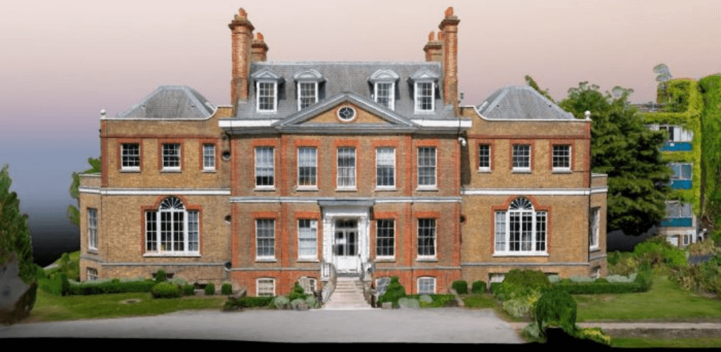
You can read the full case study here.
Phantom 4 Multispectral
If agriculture is your specialty, then the high-precision Phantom 4 Multispectral is the best surveying drone for you.
The drone is capable of gathering precise plant-level data.
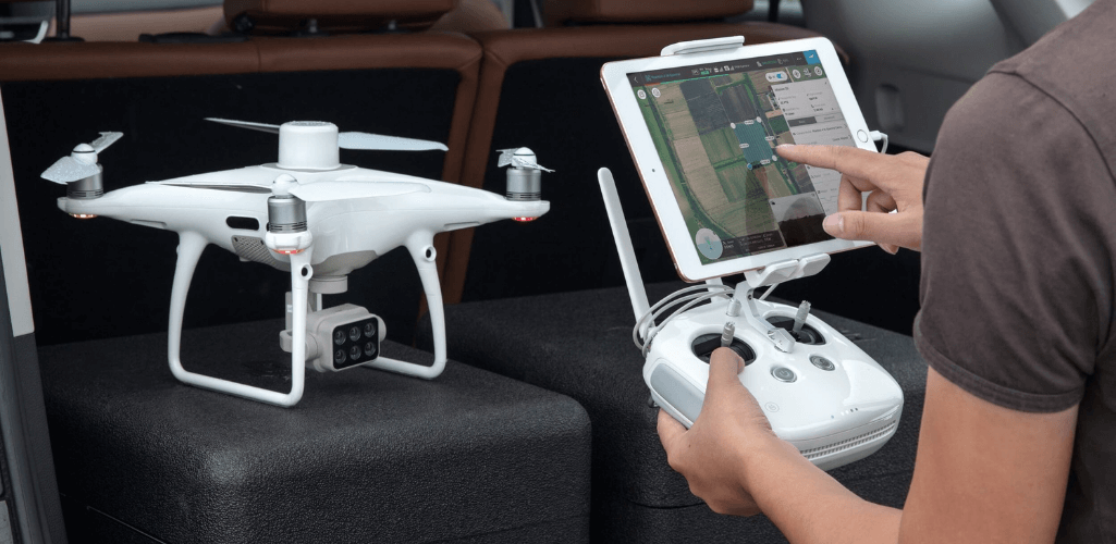
It also collects data with one RGB camera and a multispectral camera covering Blue, Green, Red, Red Edge, and Near Infrared bands – all at 2MP with global shutter, on a 3-axis stabilised gimbal.

written by
James Willoughby
James joined heliguy™ in 2018 following a 13-year stint in print and online journalism, having worked on regional and weekly newspaper titles. He is responsible for spearheading heliguy™'s content strategy and social media delivery. James collaborates with DJI Enterprise's European marketing team to coordinate and produce case studies and helps organise events and webinars.