Technical
Laser Rangefinder Drones: Benefits and Applications
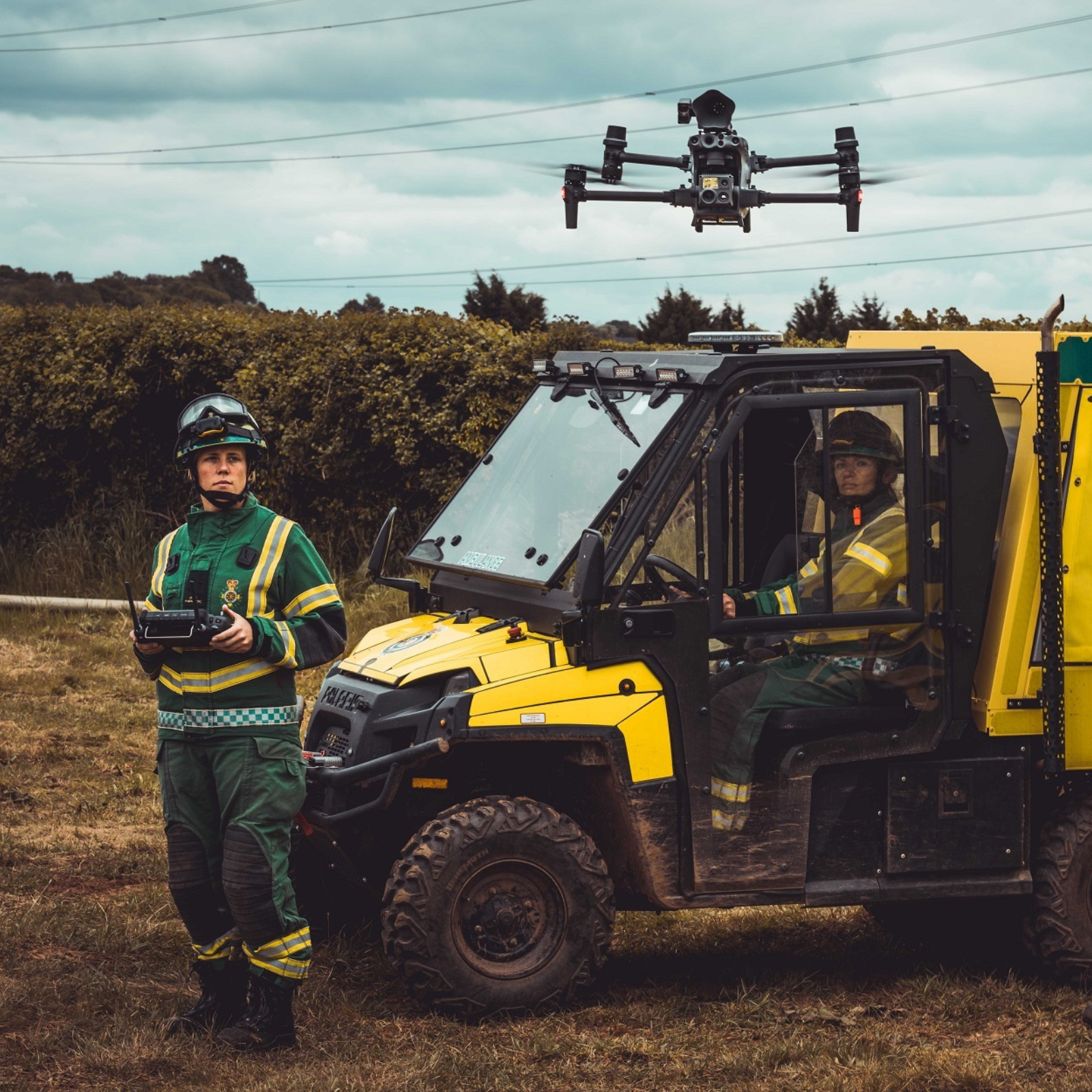
Find out the benefits of using a laser rangefinder on DJI drones such as the M300 RTK, M30 Series, and DJI Dock drone-in-a-box. Deploy the laser rangefinder to measure the distance to a target and obtain precise GPS coordinates.
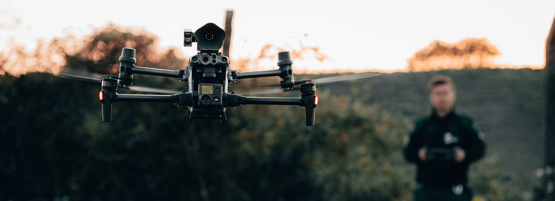
A laser rangefinder enables operators to target a specific location or object and measure its distance and obtain precise GPS coordinates;
Use the laser rangefinder to unlock PinPoint functionality on DJI drones: Mark an object of interest and come back to the information when required;
This data benefits a range of applications, including public safety, search and rescue, and inspection;
Lincolnshire Police used the laser rangefinder to obtain the precise location of a missing pensioner, and shared this with ground teams to help them reach her;
Derby Mountain Rescue Team says a laser rangefinder provides crucial situational awareness and tactical advantages in missing person searches;
DJI drones with laser rangefinder capabilities are the M300 RTK (with H20 Series payloads); the M30 Series, and the DJI Dock drone-in-a-box.
When we talk about drone cameras, we often focus on the payload's thermal, visual, or zoom capabilities.
But there's another data capture tool which can provide valuable real-time insights: The laser rangefinder.
When called into action on DJI's leading enterprise drones (M300 RTK with H20, H20T and H20N, and M30 Series (including DJI Dock drone version), the laser rangefinder enables operators to target a specific location or object and obtain its precise GPS coordinates, as well as the distance from the drone and difference in altitude. This information can be saved as a PinPoint, and can be used immediately or revisited later.
The laser rangefinder benefits a range of applications, from public safety through to search and rescue, and inspection.
For instance, search and rescue teams can use it to deliver precise location information about a missing person to help ground teams locate them, while PinPints can be used in a firefighting scenario to mark the fire's boundaries, communicate points of interest to team members, and highlight structures at risk.
As such, the laser rangefinder - and the subsequent PinPoint functionality - helps to enhance collaboration between aerial and ground teams and improves situational awareness.
Read this blog to find out more about deploying a drone with a laser rangefinder, including some real-world case studies highlighting how teams benefited from this capability, such as Lincolnshire Police using it to find a missing pensioner.
What Is A Laser Rangefinder?
A laser rangefinder is a device that uses a laser beam to measure the distance to a target.
It works by emitting a laser beam towards a target and then measuring the time it takes for the beam to bounce back to the device.
The rangefinder then calculates the distance to the target based on the time it took for the laser beam to travel back and forth.
The rangefinder displays the distance to the target on a digital screen - such as a drone's remote controller.
It is a much more accurate method than estimating distances based on visual cues.
And laser rangefinders with a longer range can provide more precise measurements, especially when paired with a drone. For the record, the laser rangefinder on the H20 series payloads and M30 Series - including DJI Dock version - are accurate up to 1,200 meters!
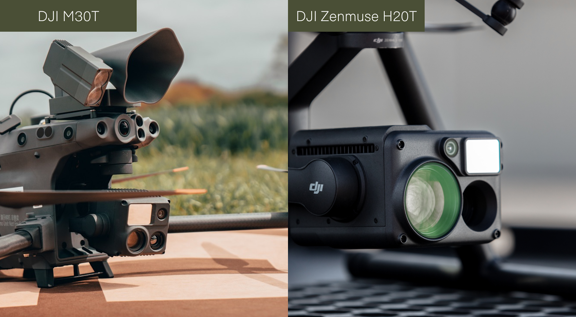
The square-shaped sensor is the laser rangefinder on the above payloads.
Benefiting From PinPoints
Pilots flying a DJI Matrice 300 RTK with H20 Series payloads or the M30 Series (including DJI Dock version) can use the laser rangefinder to create PinPoints.
This functionality allows operators to mark an object or a location with one click and access its coordinates and distance. This can be shared with teams immediately, or revisited when the information is required.
PinPoints can be found inside the DJI Pilot 2 app and DJI FlightHub 2 cloud-based software as part of a suite of collaborative management tools called Live Annotations. These tools enable teams to coordinate operations in real-time.
You can drop pins, draw lines, mark shapes, and generally designate points or areas of interest.
The PinPoint function has been designed to help teams keep track of anything that’s worth keeping track of. It overlays a marker onto a shared operational map and tags it with its GPS coordinates.
In dynamic operations, certain key elements may remain static. PinPoints allow teams to share aerial intelligence and ensure nothing is left behind or overlooked.
For instance, in a HazMat scenario, crews can PinPoint an object/area of interest, continue to survey the rest of the scene, and then return to the previously-selected PinPoint to conduct further analysis.
Click to learn how to use the PinPoint function in DJI Pilot 2
Laser Rangefinders: Applications
A laser rangefinder (and PinPoints) can benefit applications such as public safety, search and rescue, surveying, and inspection.
Laser Rangefinders For Public Safety And Search And Rescue
There are many success stories of public safety and search and rescue teams deploying laser rangefinder drones to find missing people.
Lincolnshire Police
Lincolnshire Police used the laser rangefinder and PinPoint capabilities on the DJI M30T to help find a missing person.
RESULT** High Risk Missing Person in their 70s with dementia located today, by our brand new @lincspolice #drone in East Lindsey, Lincolnshire. Officers guided in misper safe guarded. Inc 268 19/06/22 @DJIGlobal @DJIEnterprise #M30 #dronesforgood pic.twitter.com/rXHAbKfdFd
— Lincolnshire Police Drones (@LincsCOPter) June 19, 2022
After spotting the pensioner, the team used a PinPoint to set a location point on her.
The crew then engaged the laser rangefinder to provide the longitude and latitude of her location and passed this to officers on the ground who used this information to reach her.
Derby Mountain Rescue Team
Brendan O'Neill, drone lead for Derby Mountain Rescue Team, said that the laser rangefinder provides crucial situational awareness and tactical advantages in missing person searches.
Brendan, who also represents the seven Peak District Mountain Rescue teams at a national level, said: "The laser rangefinder on the M30T is extremely beneficial and helps in numerous ways.
"It enables us to relay the grid reference of a missing person to our ground teams in real-time and mark an object of interest by using the PinPoint functionality.
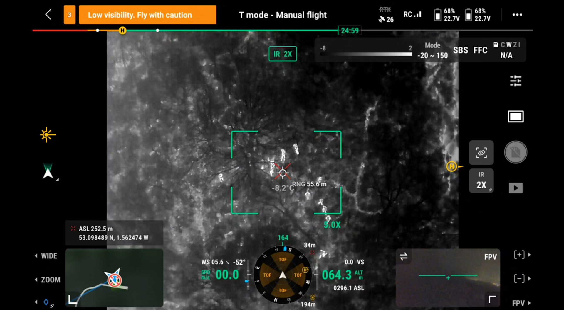
"Thanks to its 1200m range, the laser rangefinder, in conjunction with the zoom and thermal cameras on the M30 Series, expands the area of the search, helping us obtain and provide location information about our target when they are more than a kilometre away from us - compared to a distance of about 500m when flying a drone without a laser rangefinder. This is a huge tactical advantage - especially when missions are time-critical.
"The laser rangefinder also helps us to improve safety. We can keep the aircraft safely away from our missing person by monitoring the distance between them and the drone.
"We also use it to ensure we fly no higher than 120m from the earth's surface, which is especially important when we are navigating areas of undulating terrain."
Laser Rangefinders For Fire Rescue
The North Central Texas Public Safety Unmanned Response Team deployed the DJI M30T and its laser rangefinder during a wildfire.
Operators used the drone's thermal sensor and laser rangefinder to track the spread of the blaze and coordinate the operation from above.
The 2D Cloud Mapping feature within FlightHub 2 created an orthomosaic map of the fire and the laser rangefinder was then put to work to drop PinPoints on precise coordinates.
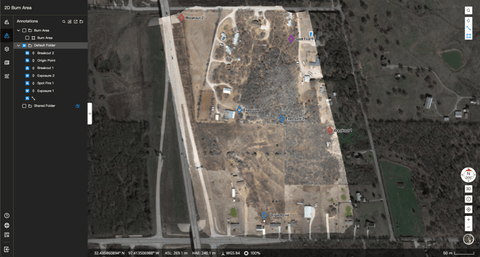
These were labelled, colour-coded, and used to mark the fire’s boundaries, communicate points of interest to team members, and highlight structures that were at risk.

The PinPoint capability allowed incident commanders to share this intelligence between different crews, keep track of the fire’s progress, and direct resources to where they were needed.
Laser Rangefinders For Inspection/Surveying
Laser rangefinders can be useful for surveying and inspection purposes.
A laser rangefinder can provide accurate distance measurements, which can help inspectors identify potential issues, assess the condition of the structure, and track changes over time.
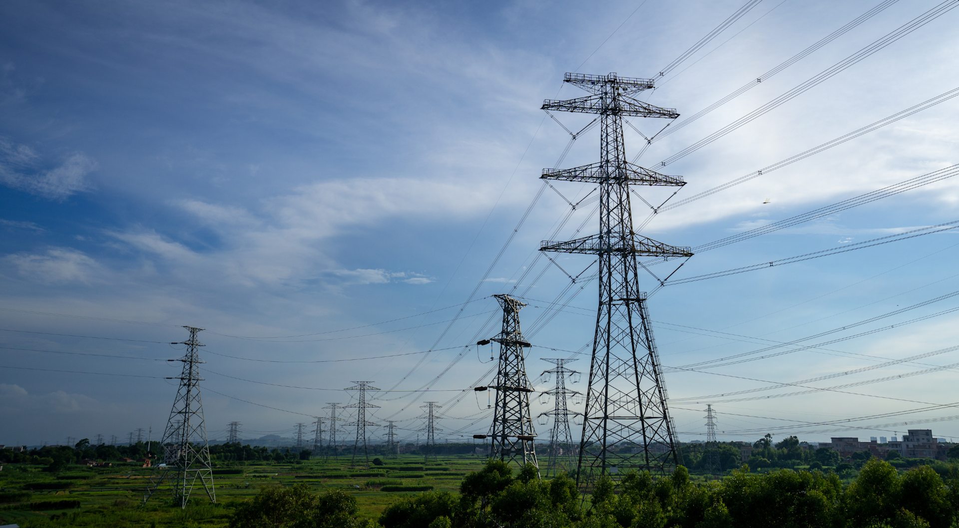
A drone with a laser rangefinder also allows for non-contact measurement, which means that inspectors don't need to physically touch or manipulate the object being inspected. This can be especially useful in situations where the object is fragile or dangerous to touch.
DJI Drones And Payloads With Laser Rangefinders
The DJI drone solutions to deploy with a laser rangefinder are the M30 Series, M300 RTK, and M30 Series DJI Dock version.
The laser rangefinder on these solutions has a measuring range of 3-1200m and an accuracy of ±0.2 m + D×0.15% (where D is the distance to a vertical surface).
Click our DJI M30 Series vs M300 RTK vs Mavic 2 Enterprise Advanced blog for an in-depth comparison.
DJI M30 Series
The DJI M30 Series (M30 and M30T) is particularly effective for public safety, search and rescue, and inspection operations, thanks to its increased portability and enhanced IP rating compared to the M300 RTK.
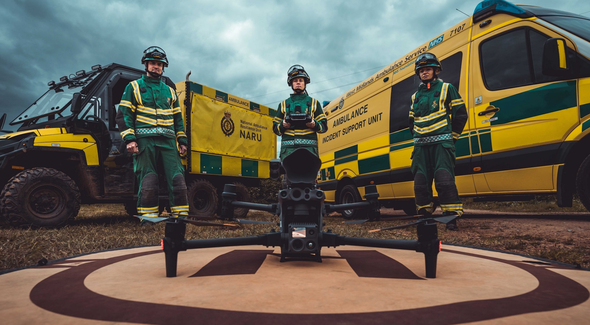
As well as the laser rangefinder, the M30 Series has a 12MP wide camera, and 200x max hybrid zoom camera. The M30T also has a 640 x 512 thermal sensor.
DJI M30 Series (DJI Dock Version)
The DJI M30 Series (Dock Version) can be used with the DJI Dock, and have the same camera specs as the non-Dock versions.
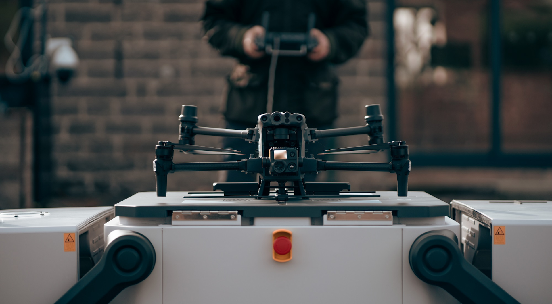
The DJI Dock is a drone-in-a-box solution which enables remote monitoring, automated flights, and round-the-clock data collection.
DJI M300 RTK
The M300 RTK is DJI's most versatile drone platform, with the ability to interchange payloads and carry up to three at the same time.
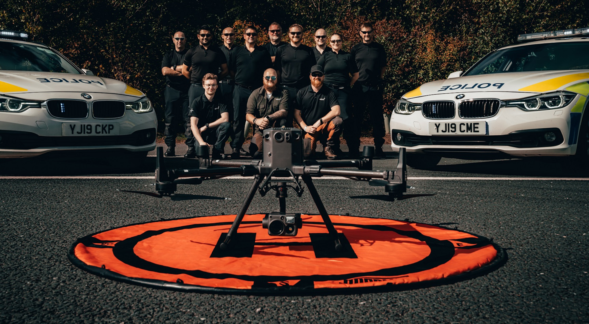
It can utilise laser rangefinder capabilities when carrying the following DJI Zenmuse payloads:
H20: 20MP zoom camera; 12MP wide camera; 1200m laser rangefinder.
H20T: Same as H20, but with the addition of a 640 x 512 px radiometric thermal camera.
H20N (pictured below): Dual thermal cameras with 640 x 512 and zoom capabilities; Night vision wide camera, with 2MP starlight sensor; Night vision zoom camera, with 4MP starlight sensor and 128x max zoom; 1200m laser rangefinder.
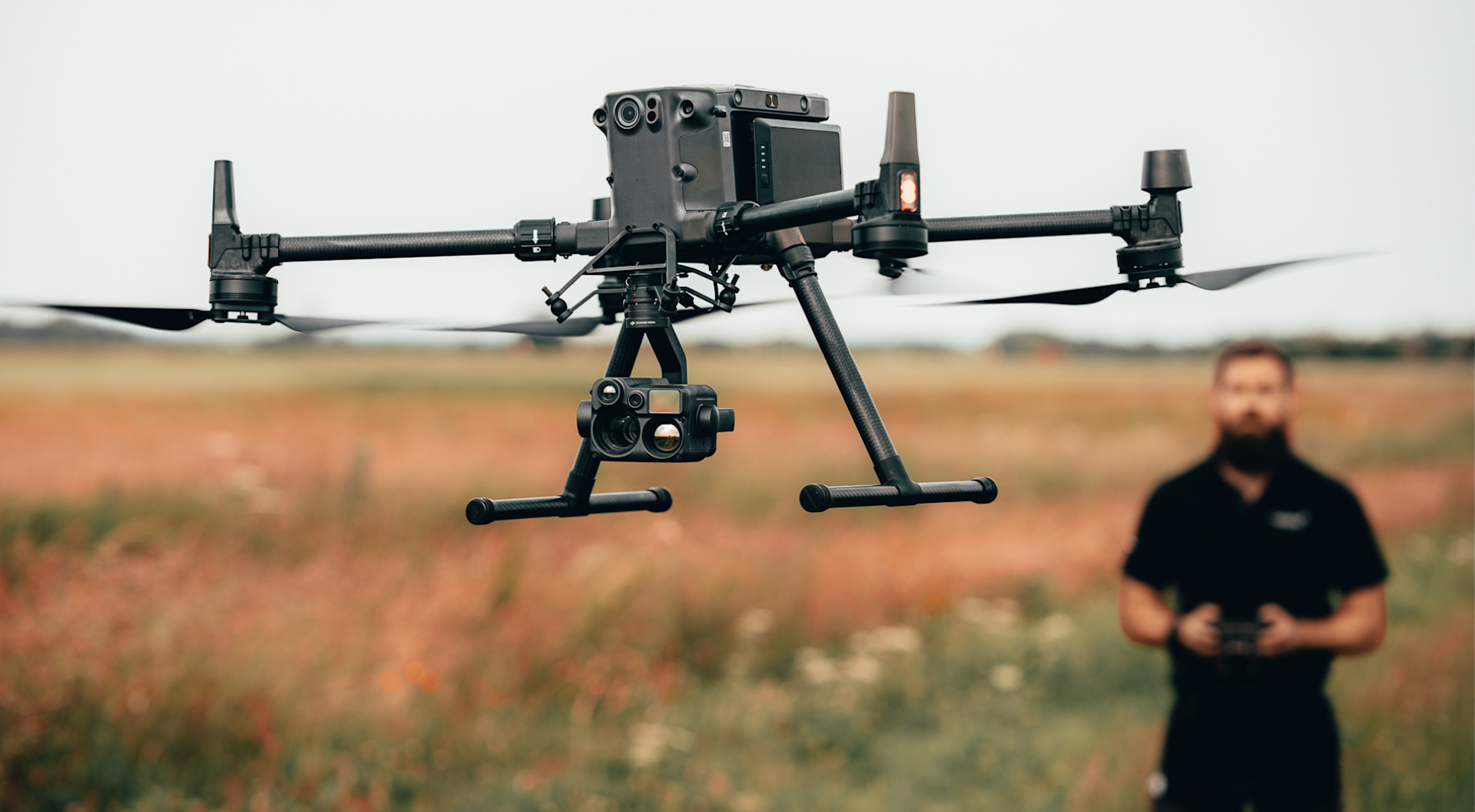
You can find out more about using the laser rangefinder on the H20 Series in the heliguy™ virtual Matrice 300 RTK Handover Training course.
The DJI M300 RTK can also integrate with third-party sensors with laser rangefinder capabilities, such as CZI C30N Night Vision Camera.
The C30N's key features include starlight night vision camera; 30x zoom; HD infrared camera; long-distance laser rangefinder; and infrared spotlight.
Summary: Drones With A Laser Rangefinder
Pairing a laser rangefinder with a drone provides major tactical advantages, especially in public safety and search and rescue scenarios.
Having access to the specific location and distance of a target object or area can be hugely beneficial
And the DJI PinPoint feature provides key functionality which can improve incident response or enable repeatable inspection data.
When it comes to drone payloads, the role of the laser rangefinder is perhaps overlooked compared to the camera's visual or thermal capabilities. But it is important to know how the laser rangefinder can benefit aerial operations and why it is a valuable tool in a range of scenarios.
To discuss any of the solutions mentioned in this article, contact the heliguy™ enterprise team.
