Products
Best 10 Features Of The DJI Zenmuse L2
Uncover the top 10 features of the DJI Zenmuse L2 that enhance efficiency and accuracy in drone surveying and mapping workflows.
DJI releases Zenmuse L2 surveying payload: Learn about its key features and benefits for LiDAR and photogrammetry data collection;
Stand-out features include its ability to collect up to 5 returns, a multi-return of up to 1,200,000 pts/s, centimetre accuracy, 20MP 4/3 CMOS sensor, and 15m/s data collection flight speed.
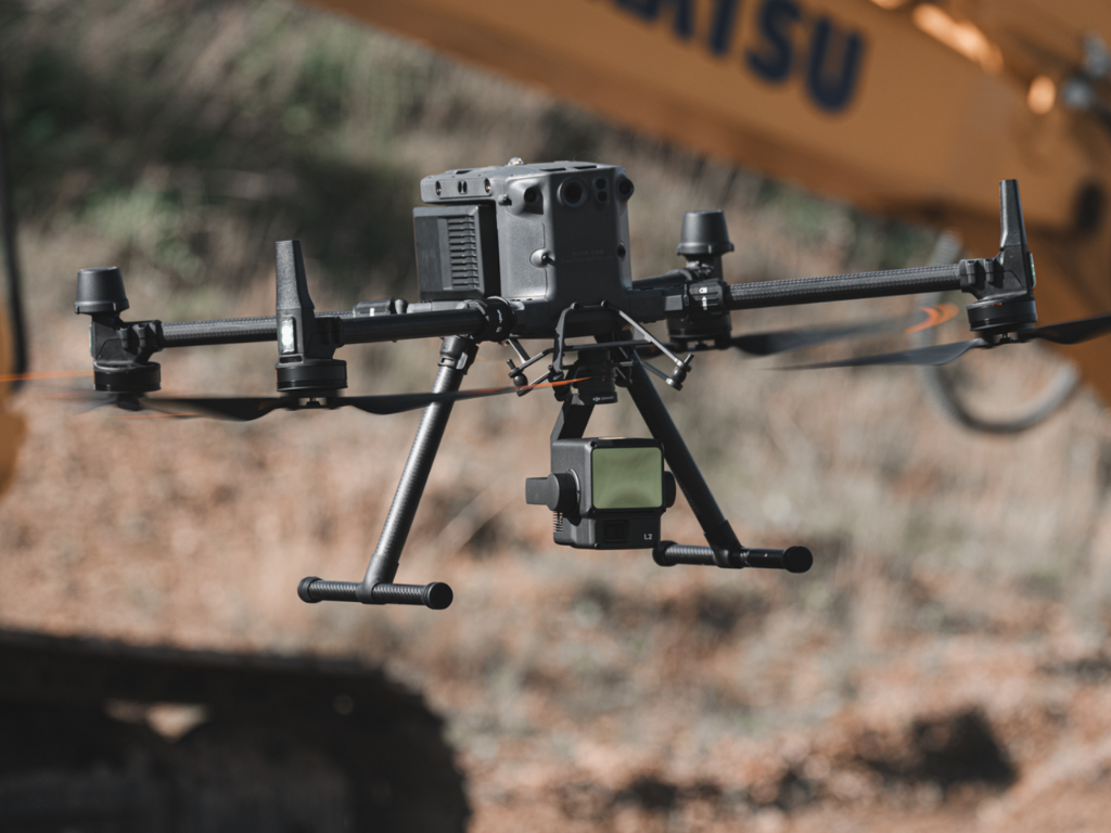
DJI has released the Zenmuse L2: A dual surveying payload for LiDAR and photogrammetry.
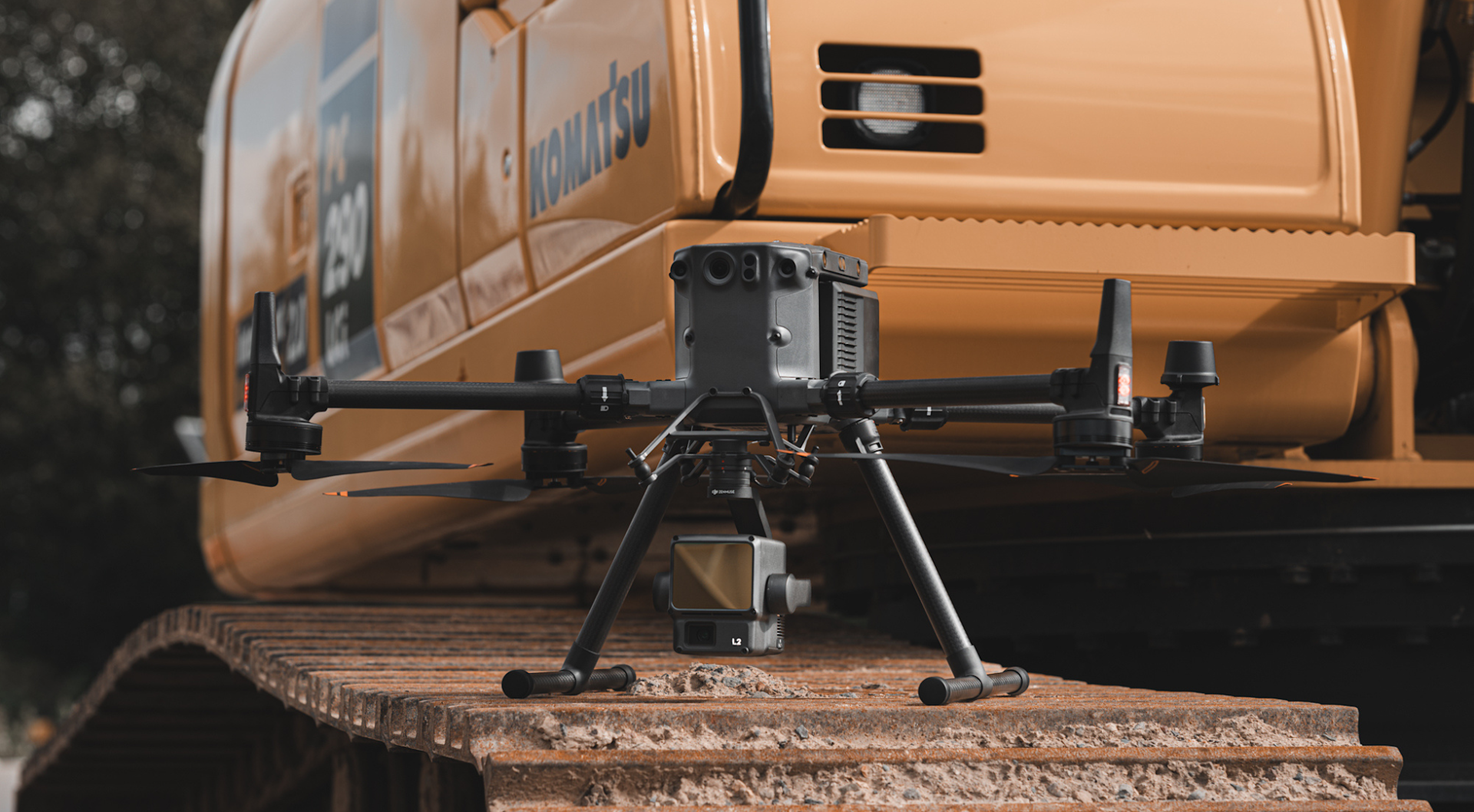
It follows the L1, which was released in 2020, and features some key upgrades to further improve efficiency, accuracy, and data quality. You can view comparison datasets in our versus blog, here.
In this article, we'll take a look at the 10 best features of the L2 and focus on how they can aid drone surveying.
The list includes:
High accuracy: Render centimetre-accurate reconstructions
Supports 5 returns for dense foliage penetration and detection of small objects
Non-repetitive scan mode for full coverage
20MP 4/3 CMOS sensor for high-resolution photogrammetry
High-accuracy IMU and no warm-up required
Fast and efficient mapping
Three-axis stabilised gimbal
Compatible with DJI's flagship enterprise drones: The M300 Series
IP54
Seamless end-to-end surveying workflows
DJI Zenmuse L2: Key Specs At A Glance
Before we look at the L2's features in more detail, here is an at-a-glance view of this payload's key specifications.
Value | Specification |
Weight | 905±5 g |
Dimensions | 155 x 128 x 176 mm |
Power | 28W (typical) 58W (max) |
IP Rating | IP54 |
Compatible Aircraft | M300 RTK (requires DJI RC Plus); M350 RTK |
Detection Range | 450m @ 50% reflectivity, 0klx; 250m @ 10% reflectivity, 100klx |
Point Rate | Single return: max. 240,000 pts/s; Multiple returns: max. 1,200,000 pts/s |
System Accuracy | Horizontal: 5 cm @ 150 m; Vertical: 4 cm @ 150 m. Both at 150m flight altitude, flight speed 15m/s |
Real-time Point Cloud Colouring Modes | Reflectivity, Height, Distance, RGB |
LiDAR: Maximum Returns Supported | 5 |
LiDAR: Maximum Sampling Frequency | 240kHz for all modes, including Penta |
LiDAR: Scan Modes | Non-repetitive scanning pattern, Repetitive scanning pattern |
RGB Mapping Camera: Sensor Size & Effective Pixels | 4/3 inch; 20MP |
RGB Mapping Camera: Shutter Speed | Mechanical Shutter: 2-1/2000 s; Electronic Shutter: 2-1/8000 s |
RGB Mapping Camera: Video Resolution | 4K @ 30fps |
Recommended Data Capture Speed | 15 m/s |
Best Features Of The DJI Zenmuse L2
So, let's delve into the L2's best features.
1: High Accuracy
Accuracy is crucial when it comes to surveying. And the L2 is an accurate drone mapping payload.
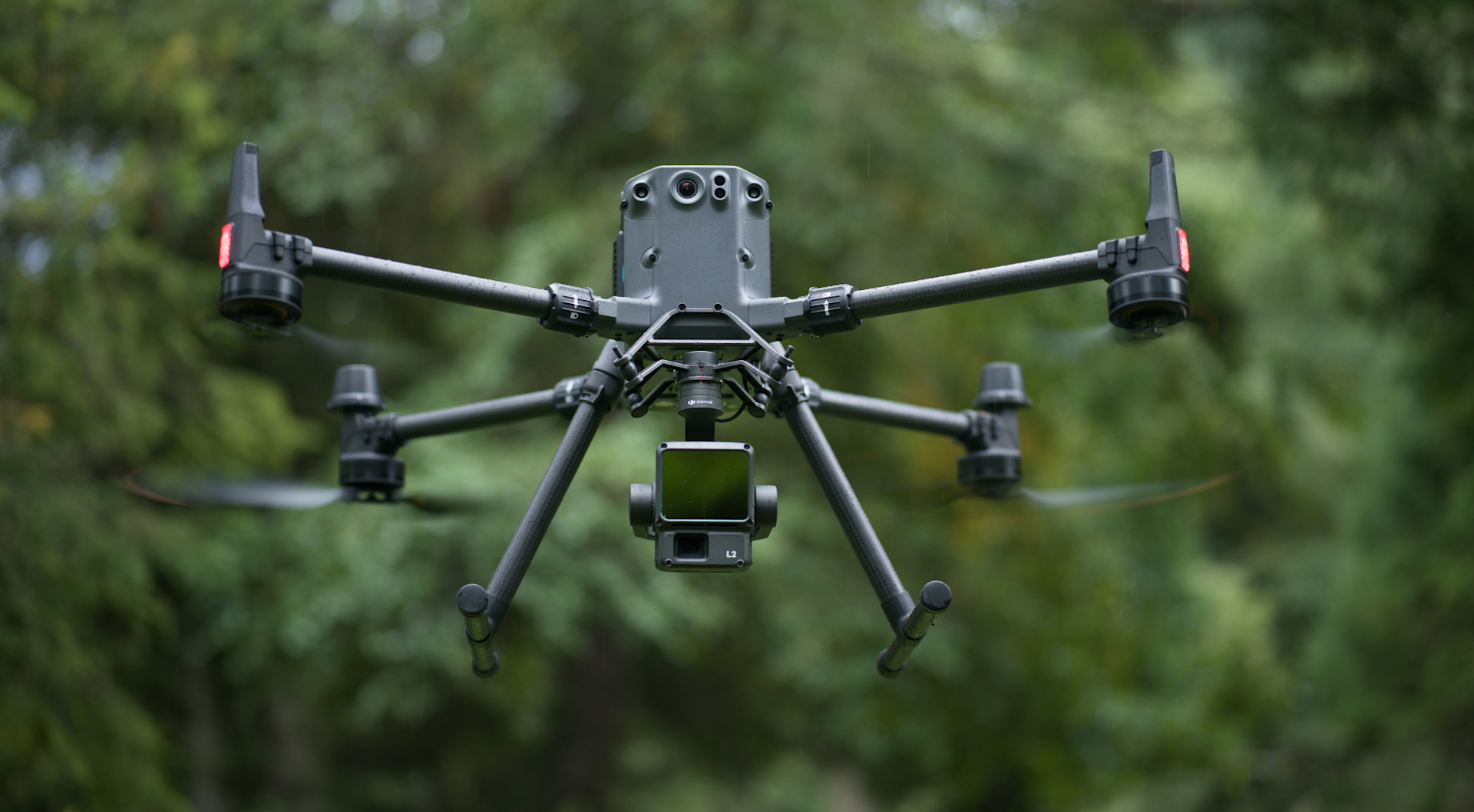
DJI states that the L2 is able to achieve:
Horizontal: 5cm @ 150m
Vertical: 4 cm @ 150m
These accuracies were achieved using the following parameters:
DJI Pilot 2's Area Route to plan the flight route
Repetitive scanning with the RTK in FIX status
150m relative flight altitude
15m/s flight speed
Gimbal pitch -90°
Each straight segment of the flight route less than 1500m
Post-processing in DJI Terra with Optimise Point Cloud Accuracy enabled.
Under the same conditions, but with Optimise Point Cloud Accuracy not enabled, DJI says it achieved 4cm vertical accuracy, and 8cm horizontal accuracy.
heliguy™ has also conducted some testing with the L2 and obtained an absolute vertical error of 44mm (4.4cm) from a flight altitude of 50m.
2: Powerful LiDAR Scanner For Dense And Detailed Digital Assets
The L2 is an effective drone LiDAR payload, enabling the creation of data-rich digital assets.
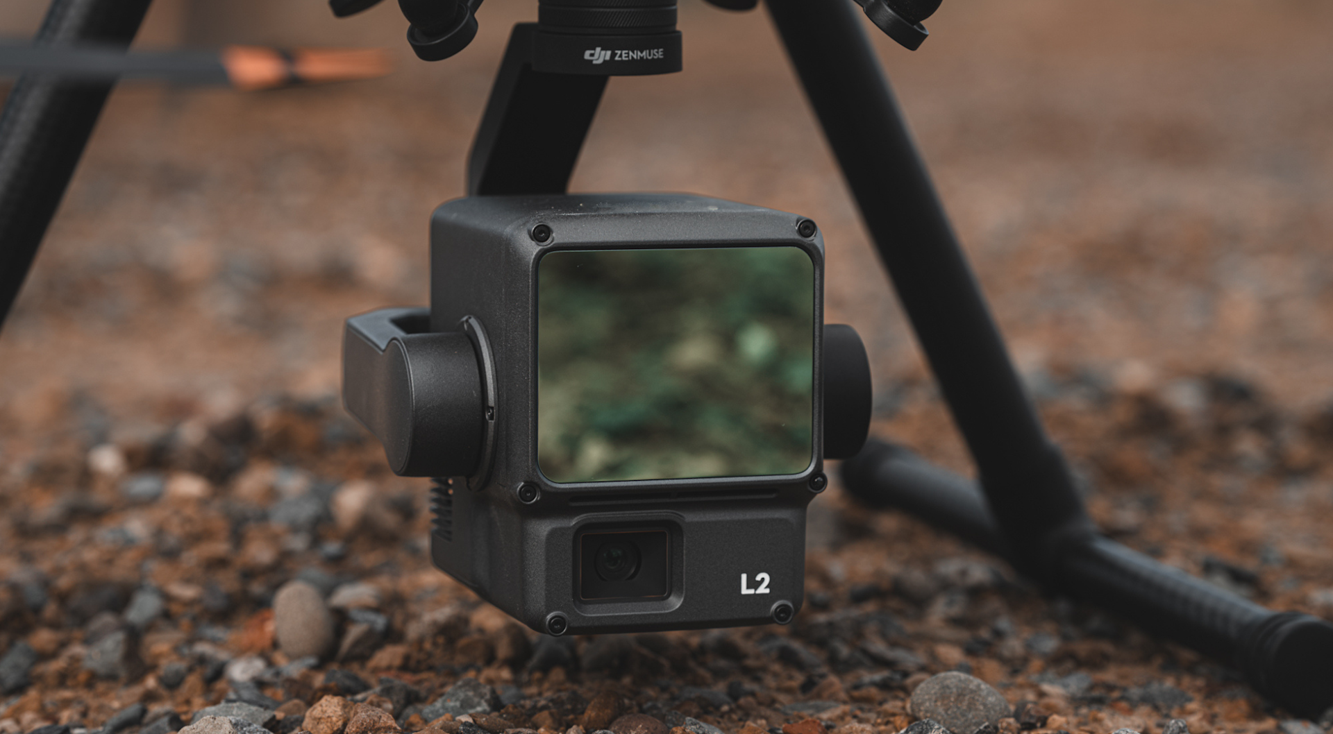
The key features in this department are:
Point Cloud Rate: One return = maximum 240,000 pts/s; Multiple returns = maximum 1,200,000 pts/s
High return rate: The L2 supports up to 5 returns @ 240kHz
Detection Range: 450m
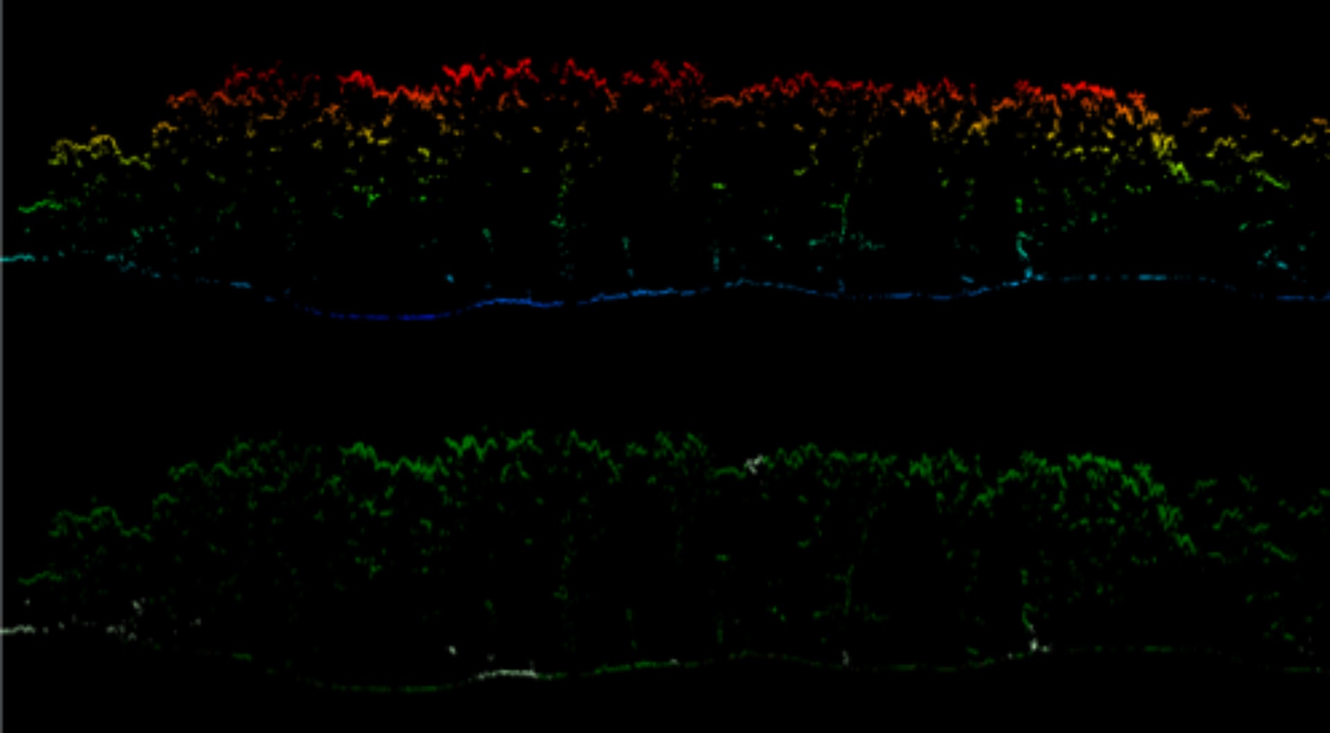
The multi-return capability of the L2, plus its ability to achieve higher sampling rates with higher returns, is particularly useful for generating elevation data in dense forest fields and converting this into a DTM.
For instance, these point cloud cross-sections, collected by heliguy™, shows how the L2 was able to penetrate the tree canopy and generate an accurate picture of the terrain, especially under the areas of dense vegetation.
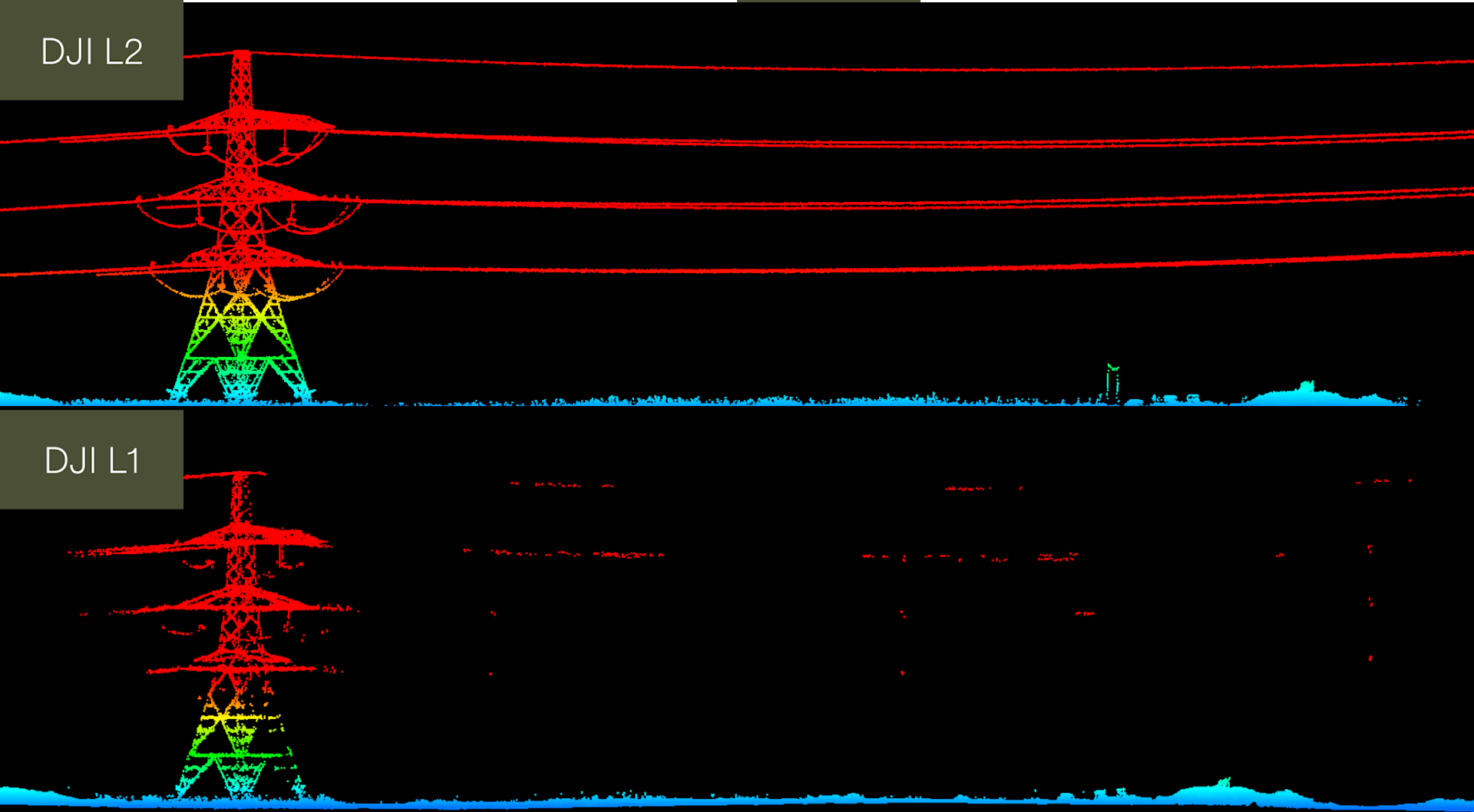
Using multiple returns also makes it easy for data analysts to pick out and classify different types of objects in a point cloud, such as overhead wires. This vertical cross-section below shows the L2's ability to detect power cables, especially compared to the L1.
You can see more comparison datasets, here.
3: Non-repetitive scan mode for full coverage
Like the L1, the L2 supports a line scan mode and a non-repetitive scanning pattern.
In non-repetitive scanning mode, as the integration time grows, so does the area being scanned inside the field-of-view (FOV).
This increases the likelihood of objects and other details within the FOV being detected. And the longer the drone LiDAR sensor scans an area, the higher the resolution of the data becomes (when compared to regular line scan).
The FOV of both modes is as follows:
Repetitive scanning pattern: Horizontal 70°; Vertical 4°
Non-repetitive scanning pattern: Horizontal 70°; Vertical 75°.
Non-Repetitive Scan Mode allows the DJI Zenmuse L2 to provide full coverage of the area of interest in very short amounts of time and enables the sensor to capture data in any direction, instead of along a defined plane.
Meanwhile, repetitive scanning mode, which has a smaller field of view for more concentrated data collection, is well-suited to more uniform and higher-precision mapping.
4: 20MP 4/3 CMOS sensor for high-resolution photogrammetry
The L2 integrates a 4/3 CMOS RGB mapping camera which is capable of 20MP imagery and features a mechanical shutter to eliminate rolling shutter blur. It also has a high-speed burst with a 0.7s shooting interval, allowing for sharper and clearer images, even in fast-moving or dynamic scenes.
In its most basic form, the RGB sensor can be used for taking photos and recording videos.
However, it offers plenty from a surveying perspective.
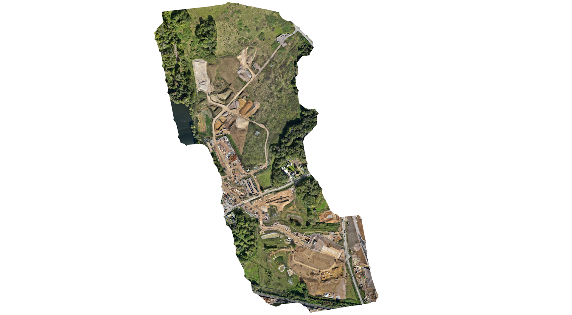
Firstly, it can be used for photogrammetry, to create 2D maps and models. For instance, this 2D orthomosaic was generated from flying at 100m altitude. The GSD was 2.69cm.
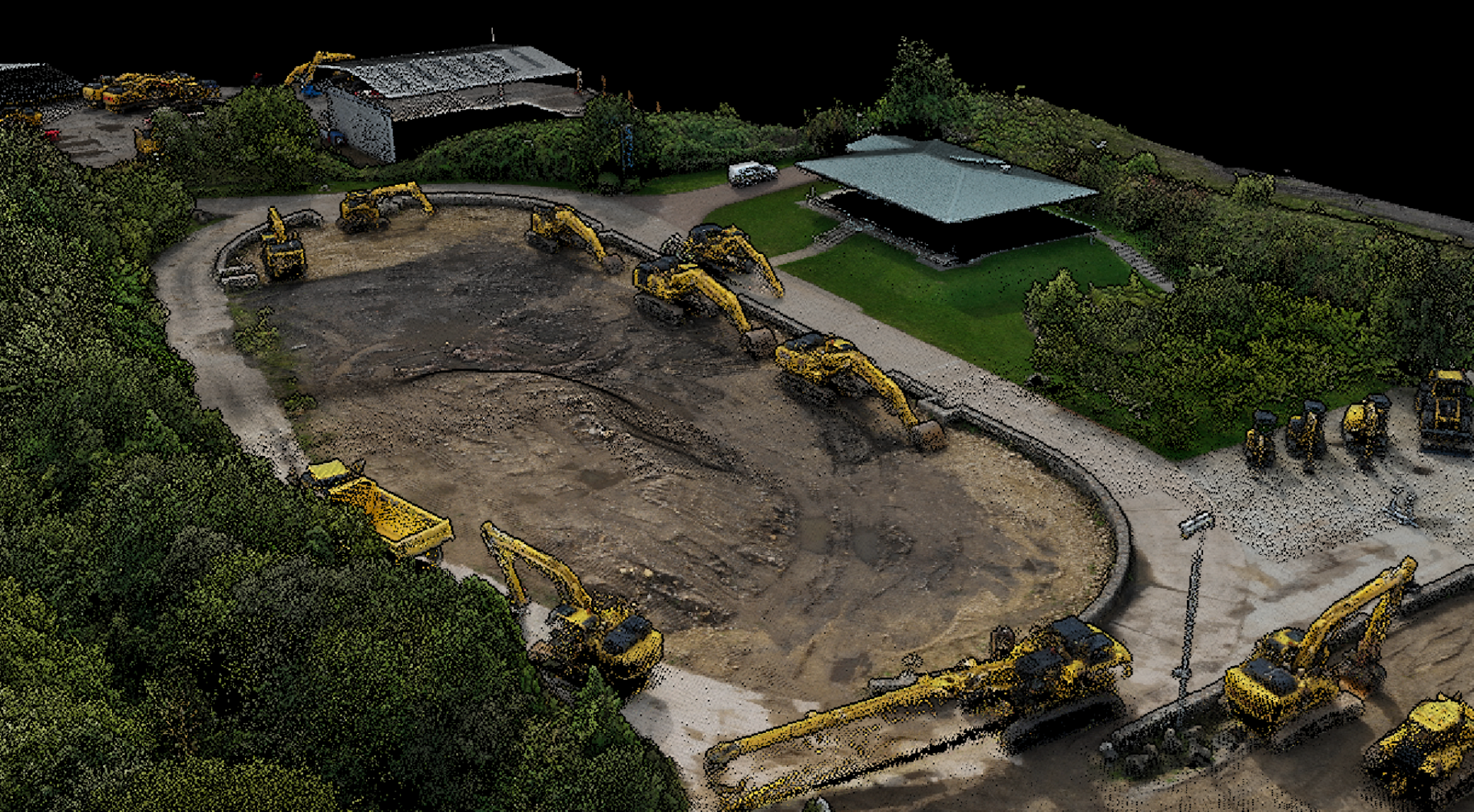
Secondly, the RGB camera benefits LiDAR data collection. It provides real-time colour information for the point cloud data during the scanning process, enabling the L2 to output true colour point clouds and reality models, like the one below.
The L2 is also capable of Point Cloud LiveView: A feature to confirm that you’re capturing the right data without having to land or wait for post-processing, and save yourself from re-flying and rework.
5: High-accuracy IMU
The inertial measurement unit (IMU) measures a drone’s real-time 3-axis acceleration and angular velocity, thereby calculating the aircraft’s speed, position, and altitude angle.
As such, a high-accuracy IMU is pivotal for quality LiDAR data collection because, without it, your point cloud would be nothing but an arbitrary collection of points.
The IMU affords the following accuracies:
Yaw accuracy: Real-time 0.2°; post-processing 0.005°
Pitch/Roll accuracy: Real-time: 0.05°, post-processing: 0.025°.
As an added bonus, no IMU warm-up is needed. It is ready to operate after start up. However, an IMU calibration is still necessary during mapping missions.
6: Fast and efficient mapping
The fact that the IMU does not need pre-flight calibration is one of the efficiency gains of the L2.
Another is that it can collect data at 15m/s - ensuring a faster survey of the same area compared to the L1 (recommended flight parameters between 8m/s and 12m/s).
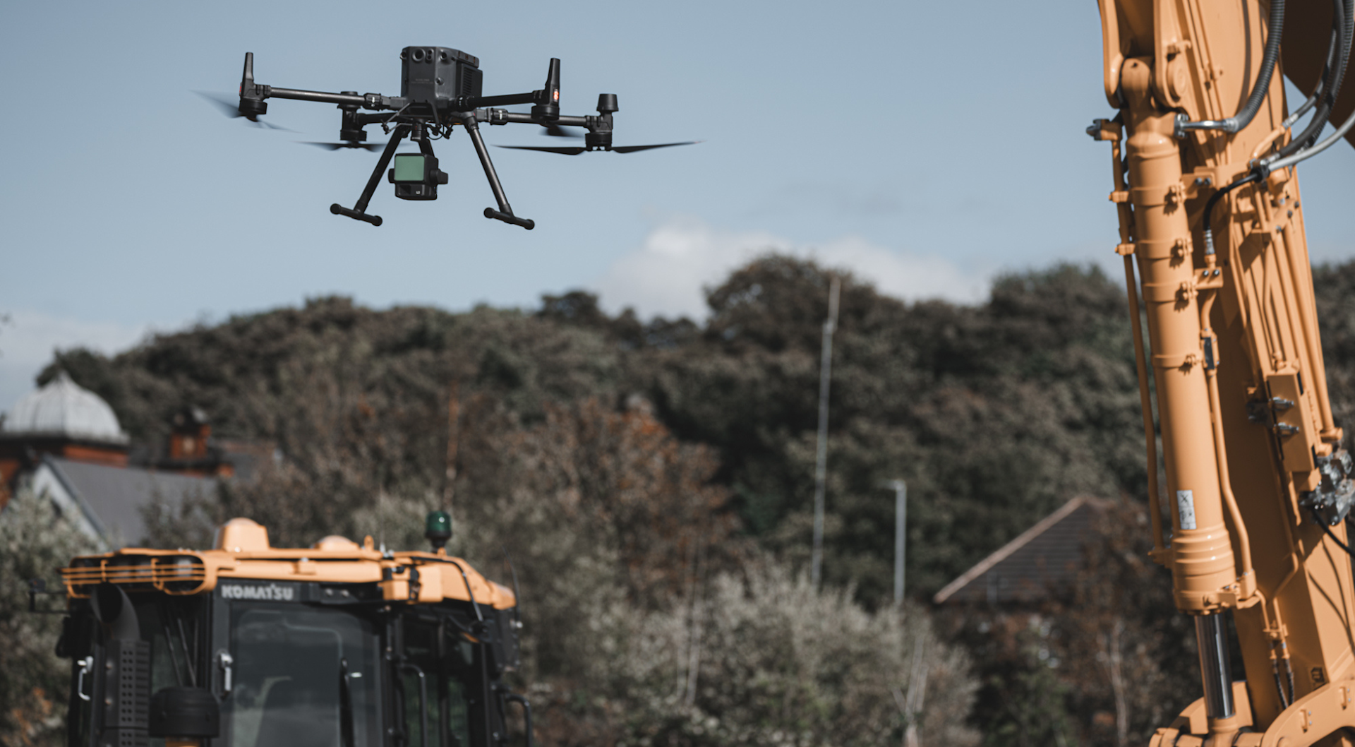
The L2 can cover 2.5km-squared in a single flight.
7: 3-axis stabilised gimbal for data gap elimination
The L2 features a 3-axis stabilised gimbal.
This means that any inadvertent rotational movement of your drone (tilt, roll, and pan) is dynamically stabilised within ±0.01°, enabling homogeneous point distribution even at very high scan rates.
As such, the risk for data gaps goes down significantly, reducing the costs associated with re-flying.
8: Compatible With DJI M300 Series
The L2 is compatible with the DJI M350 RTK and DJI M300 RTK.
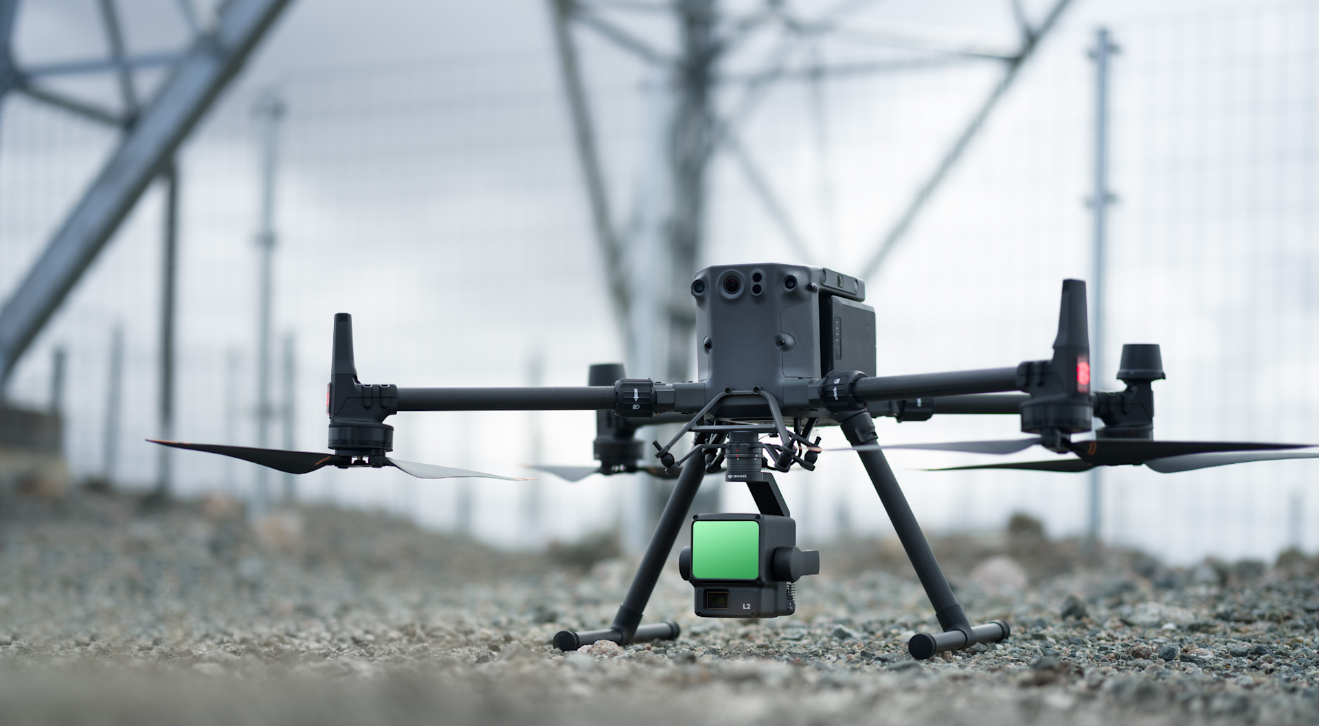
The DJI M350 RTK is a flagship enterprise upgrade of the M300, with an enhanced IP rating, upgraded battery system, and extra safety features, including arm lock indicator and updated FPV camera. Compare the two drones in our in-depth M350 RTK vs M300 RTK article.
The M350 RTK comes with the DJI RC Plus controller - an upgraded enterprise controller with 7-inch large high-bright screen, up to six hours of runtime (with internal and external battery), and an IP rating.
When operating the L2 with the M300 RTK, operators must use the DJI RC Plus: Purchased separately and firmware update required. Find out more here. It means that the L2 is not compatible with the M300 RTK's standard controller, the Smart Controller Enterprise.
Both the M350 RTK and M300 RTK are versatile drones with interchangeable payload capability, meaning operators can remove the L2 and use another payload if required.
9: IP54 For Reliable Performance
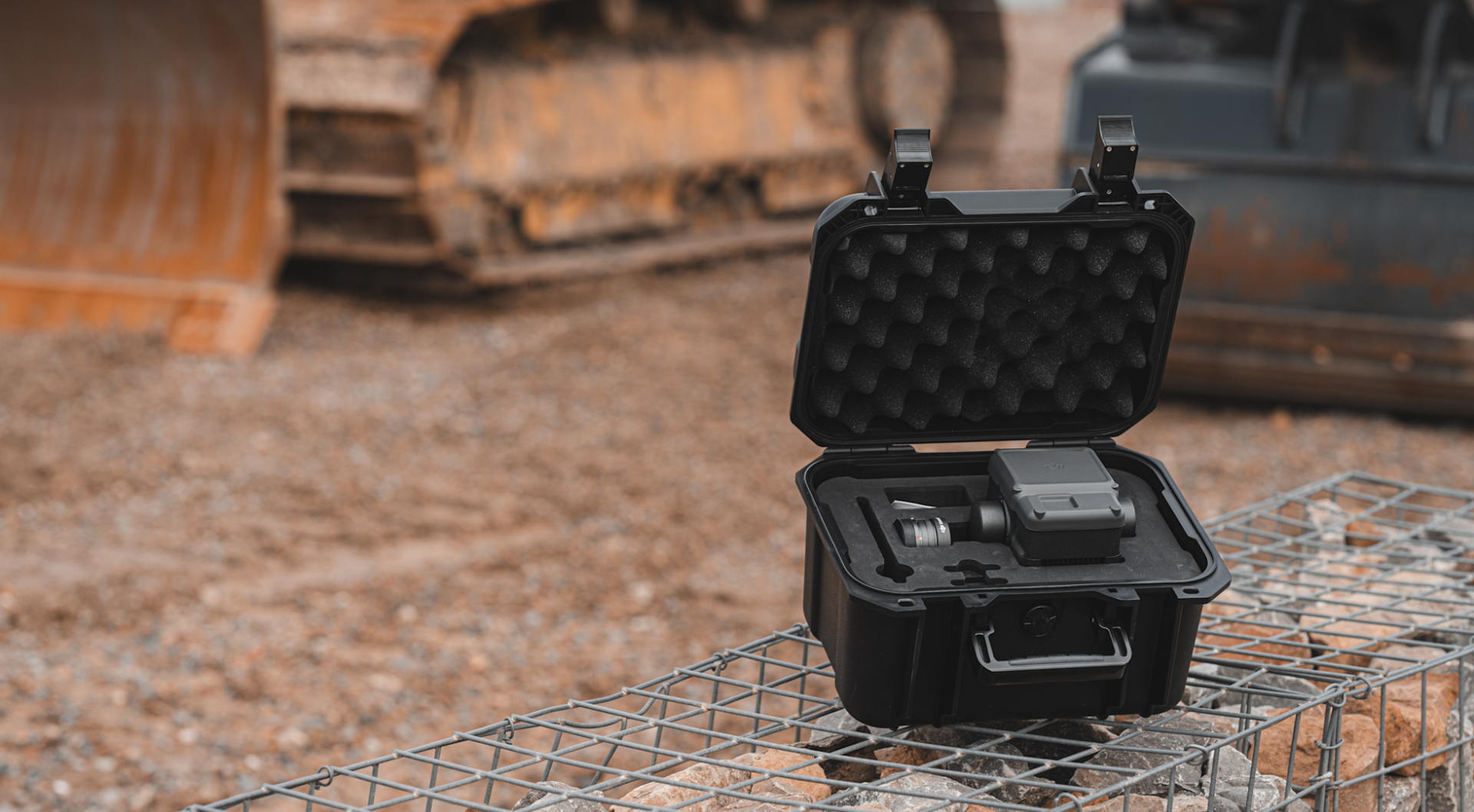
The L2 has an IP54 ingress protection rating, which gives it the versatility to be flown in a wide variety of adverse weather conditions, including snow, smoke, fog, and rain.
It can also collect point clouds at night or other low-light conditions too.
The L2's IP rating tallies with the weather protection of the M300 Series, with the M350 RTK IP55 rated, the M300 RTK IP45 rated, and the DJI RC Plus IP54.
10: Seamless end-to-end surveying workflows
Benefit from a seamless end-to-end surveying workflow, utilising the DJI ecosystem throughout.
The following features benefit the data-collection process:
Point Cloud LiveView: Fly confidently with the real-time Point cloud LiveView and laser rangefinder.
Fieldwork Quality: Check the on-site data collection quality to support timely decisions on recollections or rework.
Point Cloud Library: After the operation, the 3D point cloud model can be viewed immediately in the album.
Then post-mission, the data can be processed through DJI Terra.
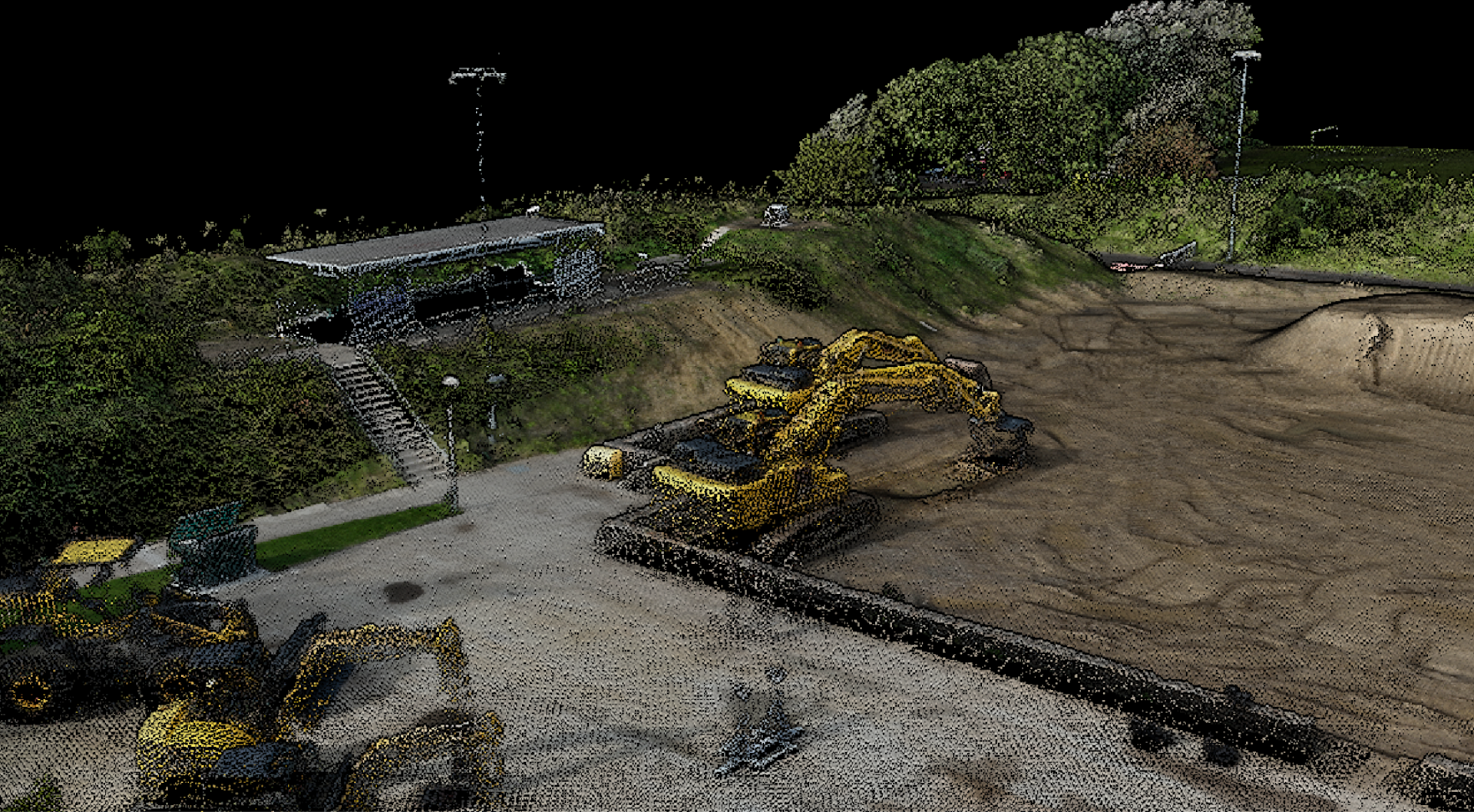
The L2 includes a DJI Terra licence for point cloud data processing, including a pre-processing and post-processing point-cloud functions.
This software supports exporting point cloud models in the following formats:
PNTS
LAS
PLY
PCD
S3MB
And recent DJI Terra updates - such as added support for generating a DEM for LiDAR point cloud reconstruction, ground classification for LiDAR data; and automatic GCP marking - provide a more seamless and comprehensive workflow.
After processing through DJI Terra, the data can be imported into third-party software, such as Terrasolid, for further manipulation and analysis.
Summary
The DJI L2 is a powerful, efficient, and accurate surveying payload.
While its principle focus is LiDAR, the inclusion of an RGB camera affords photogrammetry, as well as adding true colour to LiDAR point clouds.
This plug-and-play, all-in-one solution will benefit the workflows of existing drone surveying programmes, as well as being a great entry level payload.
To discuss the L2 and to add it to your workflows, contact us and speak to our in-house surveying team.
