
Products
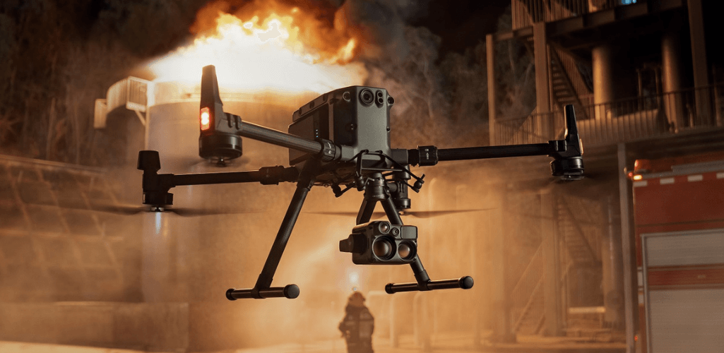
DJI M300 RTK: Still The Go To Drone For Multiple Enterprise Operations
The DJI M300 RTK is a powerful and versatile enterprise drone, ideal for high-precision drone surveying, including LiDAR, and can carry a range of payloads.
Find out why the DJI M300 RTK is still the go to drone for multiple operations - despite the release of the M30 Series;
M300 RTK is a stand-out surveying drone, ideal for high-precision mapping and LiDAR data collection;
Its interchangeable payload design and ability to carry up to three payloads at once makes it a versatile drone, catering for a range of mission-specific applications;
Huge library of tried and tested payloads, including thermal, visual, zoom, loudspeakers, spotlights, gas detectors, and agricultural sensors;
DJI continues to innovate for the M300 RTK: Recently-released H20N night vision sensor exclusively for the M300; Use with the new FlightHub 2; Future compatibility with the RC Plus controller;
heliguy™ has developed a virtual handover for the M300 RTK, as well as an end-to-end LiDAR training course for the L1. The M300 RTK can also be hired from heliguy™.
The DJI M300 RTK: So long revered as the ultimate enterprise drone, pairing incredible power and performance with extreme versatility.

But on March 21, 2022, its position at the top of the tree came under threat with the unveiling of the DJI M30 Series.
Make no mistake, this new release is an impressive bit of kit, packing the M300's capabilities into a more portable frame.
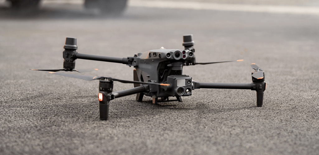
With a flight time of 41 minutes, an improved IP55 weather rating, lighter design and high-spec multi-sensor camera, the cost-effective M30 Series is certainly an attractive option for enterprise missions, including public safety and inspection.
So, what does this mean for the M300 RTK? Does the M30 make it redundant?
We say, no. Continue reading to find out why the M300 RTK is still worth buying in 2022 and why it is still the go to drone for multiple enterprise operations.
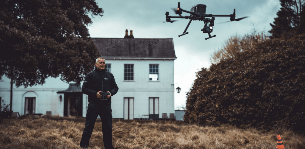
M300 RTK For Drone Surveying
The M300 RTK's surveying capabilities continue to make it highly relevant in 2022.
In fact, it can still be regarded as DJI's principal mapping drone - especially for large-area surveying.
Perhaps its main advantage in the GIS department is its ability to integrate with a range of industry-leading LiDAR sensors, such as the DJI Zenmuse L1 - engineered exclusively for the M300...
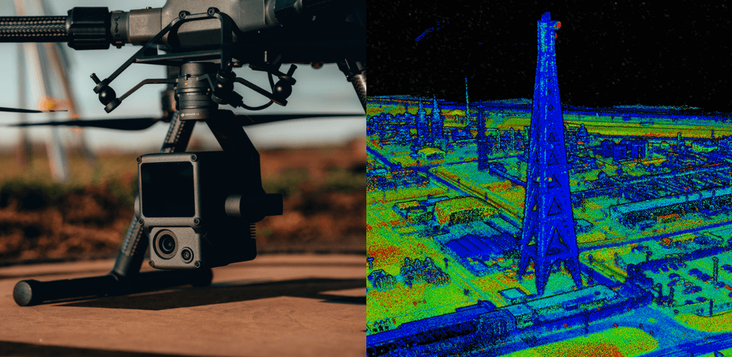
...and the GeoSLAM ZEB Horizon.

In this regard, no other DJI drone comes close.
Aerial LiDAR is a highly-accurate surveying technique, and is particularly useful for mapping areas of dense vegetation or collecting mapping data in low-light environments.
This makes the M300 a highly-attractive option for operators who require LiDAR data, including public safety who can utilise this surveying technique for mapping a crime scene or RTC at night, or providing search and rescue teams with complete 3D views of a search area, complete with elevation data.
Read our blog to find out more about using drone LiDAR for public safety.
As well as LiDAR, the M300 RTK can also be used to conduct photogrammetry missions, when paired with solutions such as the 45MP DJI Zenmuse P1. For the record, the L1 has a 20MP RGB camera.
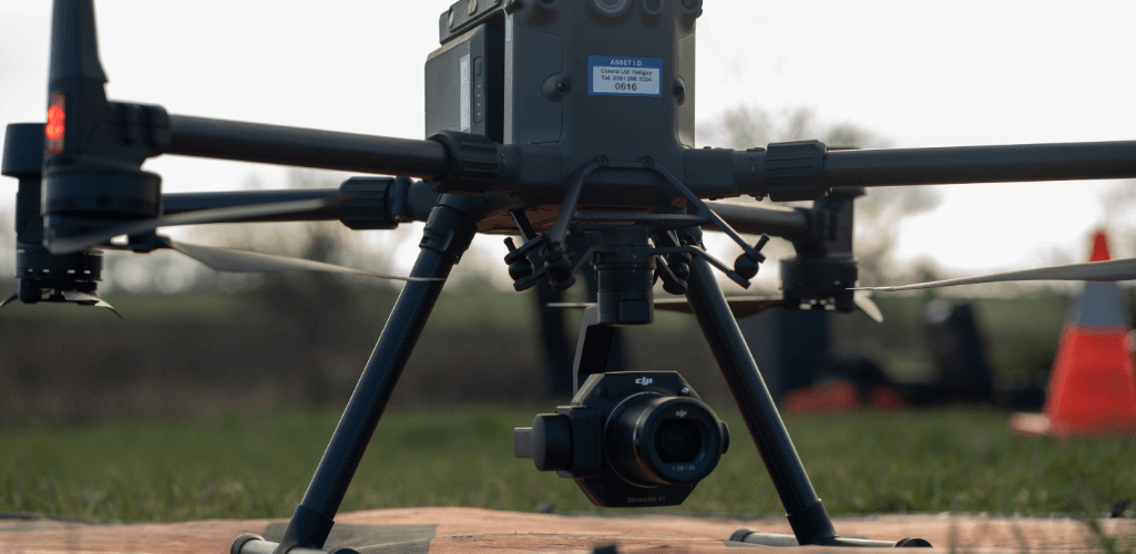
The M300 RTK isn't DJI's only photogrammetry drone. Indeed, the Phantom 4 RTK offers a compact, low-altitude solution, complete with 20MP sensor.
Other DJI solutions can also be deployed to collect visual survey data, including the M30 Series with its 48MP 1/2" CMOS zoom camera and 12MP 1/2" CMOS wide camera.
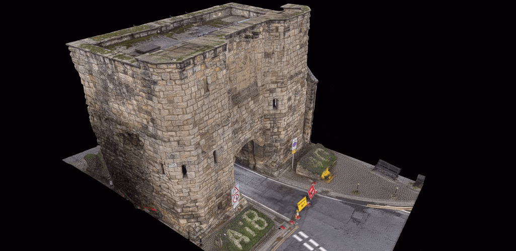
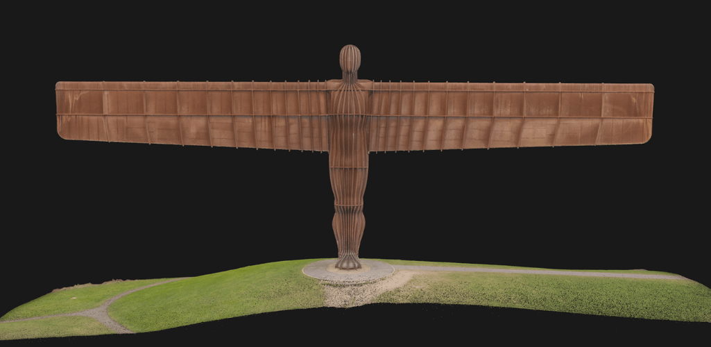
But for high-precision, efficient photogrammetry missions, the P1 - built for the M300 RTK - rules the roost, thanks to its 45MP full-frame sensor, removable lenses (24mm, 35mm and 50mm) with ultra high-quality glass, global mechanical shutter with a shutter speed of 1/2000 seconds, a 0.7 second photo interval, adjustable aperture and Smart Oblique Capture mode.
It can capture imagery to build high-quality 3D models like this...
...and this.
The M300 RTK and P1 also offer high accuracy - and make GCP-free surveying missions possible.
Read our blog to find out how the P1 has transformed drone surveying workflows.
Purpose-built drone surveying software, such as DJI Terra, is available to process data collected by the L1 and P1, providing an end-to-end survey solution for M300 RTK operators. heliguy™ has developed a dedicated online L1 workflow course, including best parameters for data capture and how to process, clean and classify LiDAR data.
Drone surveying is an expanding application across a range of industry verticals, and the M300 RTK's unique ability - compared to other DJI solutions - to integrate with top-class mapping payloads continues to make it a stand-out GIS solution.
M300 RTK: A Highly Versatile Drone
The fact that the M300 RTK can carry the P1 and L1 is indicative of another strength of this aircraft: Its ability to integrate with a swathe of payloads - manufactured by DJI and third-parties.
This diverse ecosystem is compiled of sensors and modules with all kinds of functionality, from cameras with thermal, zoom, laser rangefinder and night-vision capabilities to loud speakers, spotlights, gas detection units, multispectral sensors, and even drop systems, as well as LiDAR and photogrammetry as we have already mentioned.

It means that the M300 RTK can be deployed for missions across the industry verticals, from GIS and surveying to public safety, search and rescue, inspection, AEC, and agriculture.
It is true that other DJI drones can integrate with numerous payloads and modules.
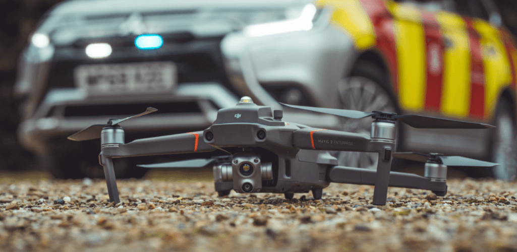
The Mavic 2 Enterprise Advanced, for instance, has a fixed camera with dual capability (thermal and visual with zoom) and can carry an extra module: Spotlight, beacon (pictured below), speaker or RTK Module.
Likewise, the M30 Series has a built-in multi-sensor array - with wide, zoom and laser rangefinder (the M30T also has thermal) - and can carry third-party payloads via its top port.
But the fact remains that the M300 RTK is still DJI's most versatile drone out of its current crop of enterprise aircraft, benefiting from a vast library of high-quality tried and tested payloads. This is especially true as the M30's additional payloads are still early in development, so the options are currently limited.
And its interchangeable payload capability means that a single drone programme can use it for a range of applications, on a mission-by-mission basis.
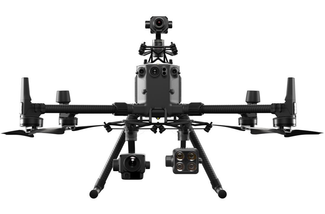
This is complemented by the M300 RTK's ability to carry up to three payloads at the same time, in multiple configurations (Single downward gimbal; dual downward gimbal; single upward gimbal; single upward and downward gimbals; and three gimbals) - with a maximum take-off weight of 9 kg and a maximum payload capacity of 2.7 kg.
M300 RTK: Best Payloads
Okay, so the M300 RTK is a multi-purpose, highly-adaptable drone. Think of it as the Swiss army knife of the drone world.
With this in mind, here is a selection of payloads available for the M300 RTK.
H20T
The DJI Zenmuse H20T is a powerful quad-sensor solution, featuring zoom (up to 200x Max Zoom), thermal (radiometric, 640 x 512 resolution @ 30Hz), wide-angle (DFOV: 82.9°; 12 MP) and laser rangefinder (up to 1200m range).

This video, showcasing the clarity of the camera's zoom, shows how Aureos used the H20T to conduct condition-based inspection on powerlines from afar, doubling efficiency in the process...
...while this image shows how its thermal camera helped to detect an overheating cable joint.
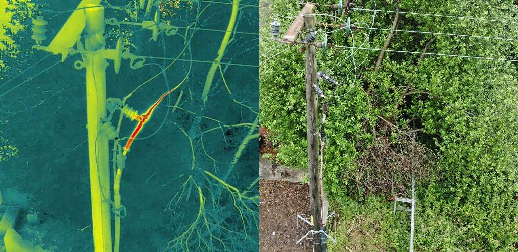
Read the full Aureos case study here.
Public safety crews have also deployed the H20T: North Wales Police to save the life of this missing pensioner...
...while West Midlands Ambulance Service's HART team deployed it to help fight a major warehouse fire.
For fairness, it is important to state that the M30 Series' integrated camera is similar to the H20 Series - only smaller, but no less powerful.
Spotlights: GL60 Plus and Z15
Spotlights are a powerful tool for operating under the cover of darkness, from searching for a missing person to conducting low-light inspections.
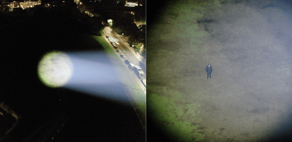
The CZI GL60 Plus is an ultrabright spotlight...
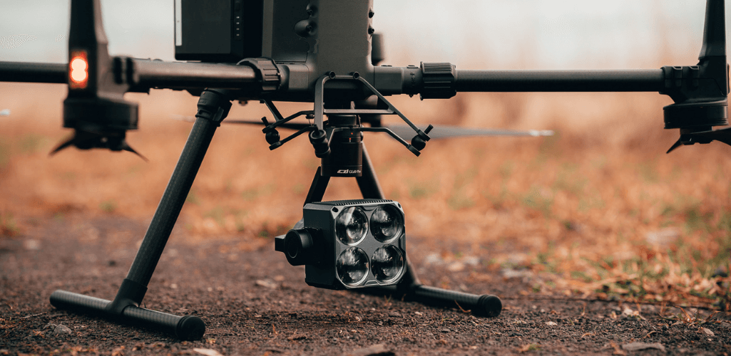
...delivering results like this...
...while the Wingsland Z15 is also an effective solution...
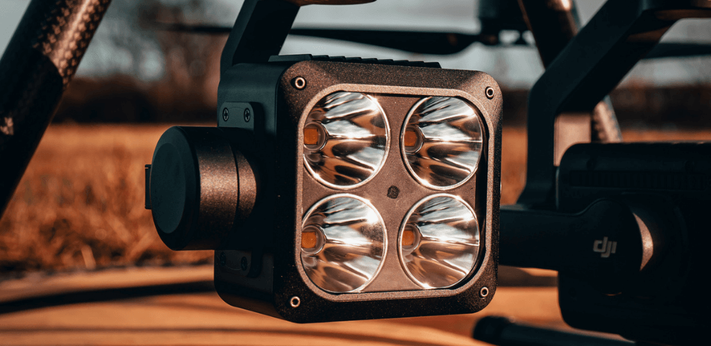
...able to illuminate an area like this...
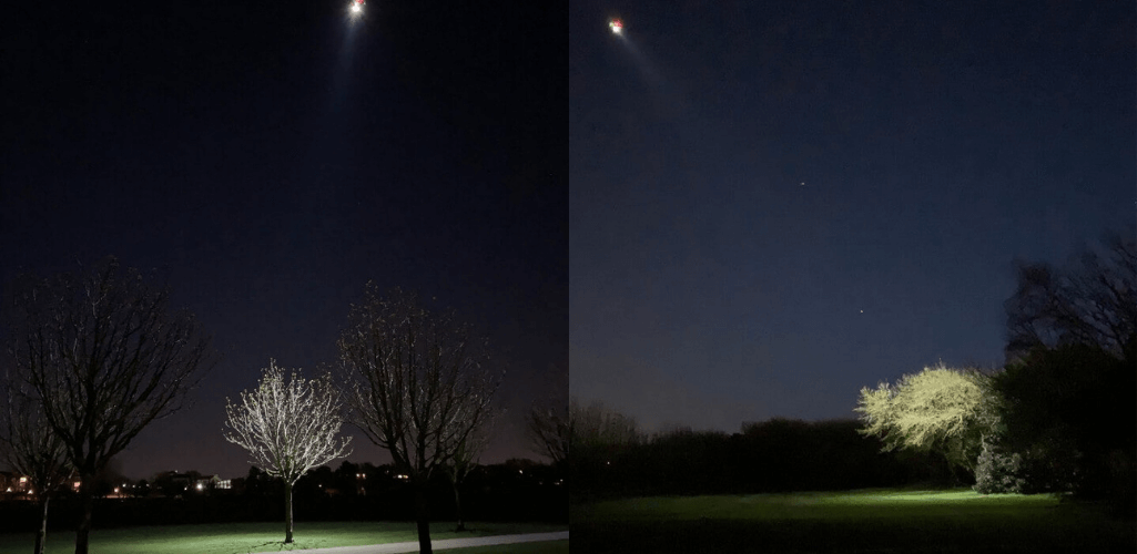
Find out how the GL60 Plus and Z15 compare in our in-depth article.
It is true that the Mavic 2 Enterprise Advanced has a spotlight, but it is less powerful than the options for the M300 RTK. For instance, the M2EA's light has a recommended operating range of 30m, while the GL60 Plus and Z15 can be effective from 150m.
Loudspeakers: CZZN MP130
The CZZN MP130 loudspeaker is designed to convey public safety messages or provide a key communication channel to nearby individuals during critical, lifesaving emergency operations.
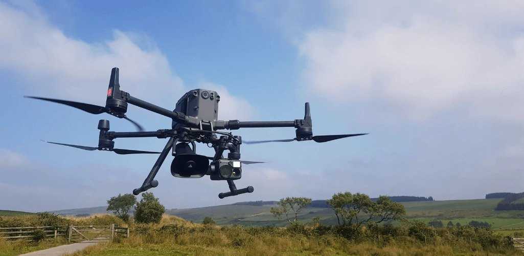
And this is how it performs, as tested by Devon and Cornwall Police, who said that the sound was clear and crisp from as far as 300m.
You can read the full review here.
Gas Detection: Sniffer4D and U10
The M300 RTK can be deployed for gas detection and monitoring, safely and efficiently analysing hazardous substances from afar.
The Sniffer4D system can detect a wide range of substances and can be configured for specific missions.

It can also obtain hyper-local air pollutant information in real-time, as well as humidity and temperature information, and can generate intuitive 2D & 3D spatial distribution models to quickly identify sources, concentrations and transportation of air pollution.
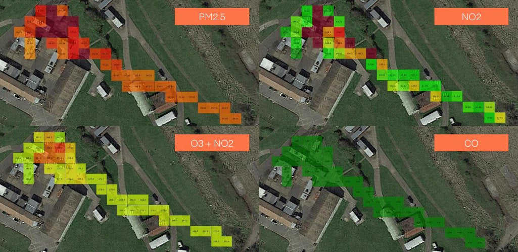
Read our blog to find out how the Sniffer4D performed during a public safety trial.
Incidentally, the Sniffer4D unit can be deployed with other DJI drones, such as the Mavic 2 Series, including the Mavic 2 Enterprise Advanced.
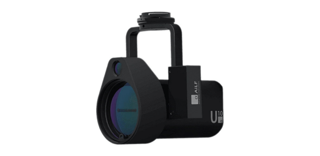
An alternative to the Sniffer4D system is the U10 Methane Detector, which can identify gas leaks from up to 100m away, or at a concentration as low as 5ppm.m.
Night Vision: H20N And IR10
The new H20N is a hybrid thermal, zoom, laser rangefinder, and starlight sensor that offers powerful aerial insights.
Both the wide and zoom cameras incorporate starlight sensors that are better suited to low-light environments and to view objects through the darkness - as this gif shows, with the view from the human eye on the left, and the starlight zoom camera on the right.
Another feature is synchronised split-screen zoom, which saves time and increases search efficiency.
Meanwhile, the CZI IR10 infrared laser zoom spotlight is a powerful night-vision payload, benefiting from the latest laser fiber generator to offer 70x optical zoom, a maximum infrared supplementary light distance of 1,000 metres and emits light power up to 12W.
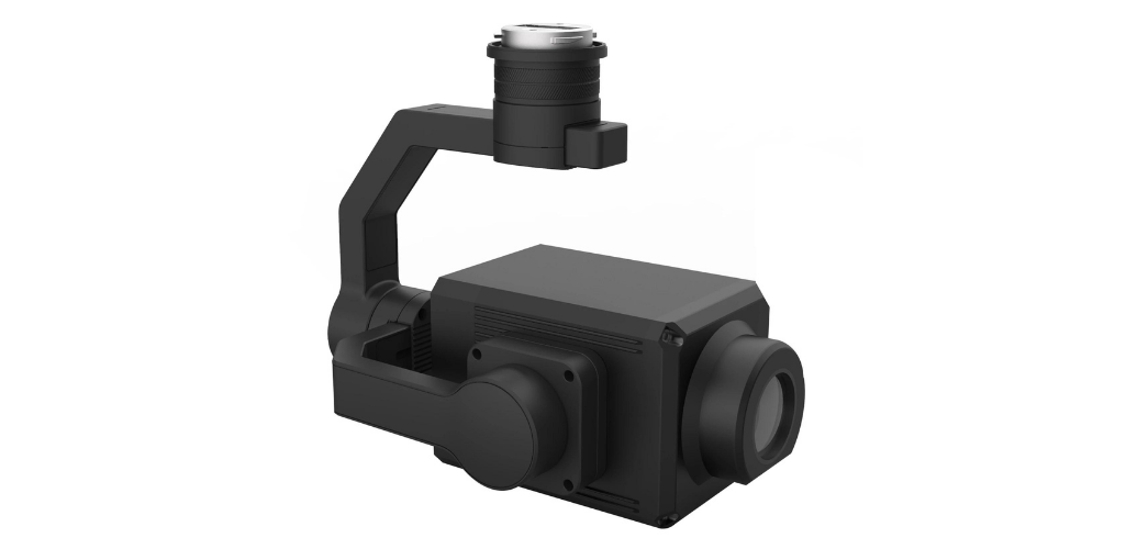
Using infrared as a light source, it is perfect for stealth operations or to see through smoke and haze.
Thermal Cameras: FLIR Vue TZ20-R
We've already mentioned the H20T with its quad-senor capabilities, including thermal sensor.
An alternative solution is the FLIR Vue TZ20-R, which is a dedicated thermal camera.
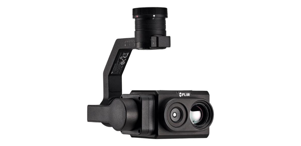
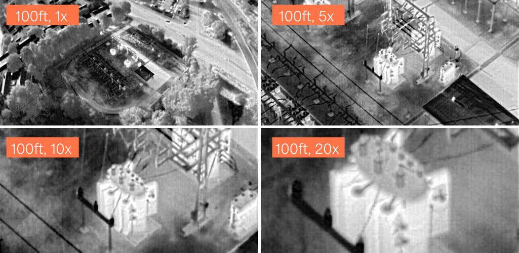
It has a dual thermal zoom, providing a wide 95° field of view (FOV) to cover large areas during a single flight, as well as a narrow 18° FOV to instantly put more pixels on target. It also has a 20x thermal zoom.
Agricultural Sensors
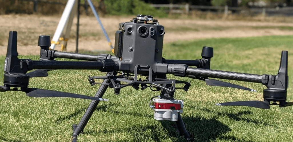
The M300 RTK can also be used as an agricultural platform, integrated with multispectral sensors from industry-leaders MicaSense and SlantRange.
M300 RTK: FlightHub 2 And RC Plus Controller
The M30 Series was launched amid much fanfare. But DJI did not forget about the M300 RTK during the unveiling - announcing the release of the innovative H20N camera (exclusive to the M300), as well as enabling the platform to be used in conjunction with the new FlightHub 2 and adding future compatibility with the M30's new super controller, the RC Plus.
It highlights DJI's commitment to the M300 RTK, providing a clear indication that it still has a role to play and that M300 RTK innovation will continue.
FlightHub 2 is an all-in-one cloud-based drone operations management platform, featuring a suite of tools - including innovative mapping features, live annotations and cross-device compatibility - to improve the visibility and usability of drone data: Crucial for situational awareness and real-time team-wide communication.
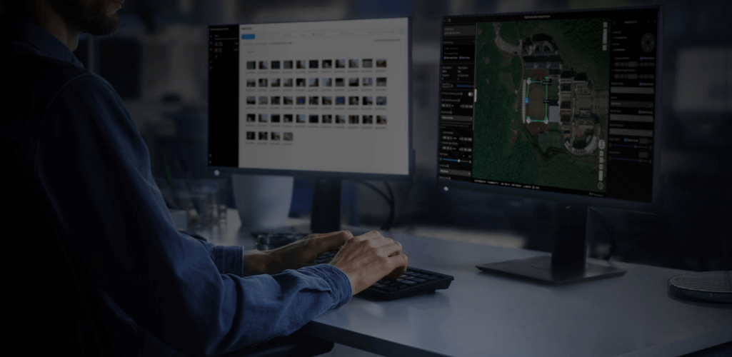
Read our in-depth guide to FlightHub 2 for more information.
Meanwhile, the RC Plus is DJI's most sophisticated controller to date: Compared to alternative DJI smart controllers, its enhanced features include a larger and brighter screen, longer runtime, and additional physical buttons that give easy access to key functionality. With an IP54 rating, it also makes DJI's first weatherproof remote controller.
For the time being, M300 RTK operators will need to use the Smart Controller Enterprise - itself a decent device - but DJI has confirmed that the drone will be compatible with the RC Plus in the future.
M300 RTK: A Portfolio Of Success
The very fact that we're questioning the M300 RTK's value in the market is testament to the M30 Series - with that incredible blend of power, performance and portability.
There's no denying it is an incredible drone and the list of suitors will be long.
But let's not forget that the M300 RTK is a top-notch drone in its own right.
Aside from its multi-payload capability, the aircraft has high endurance - for instance, 43 minutes with a H20T or 45 minutes with a H20 (same as H20T but without the thermal) - a 15m/s wind-speed resistance, 23m/s maximum speed, an IP45 rating, and is packed with safety features.
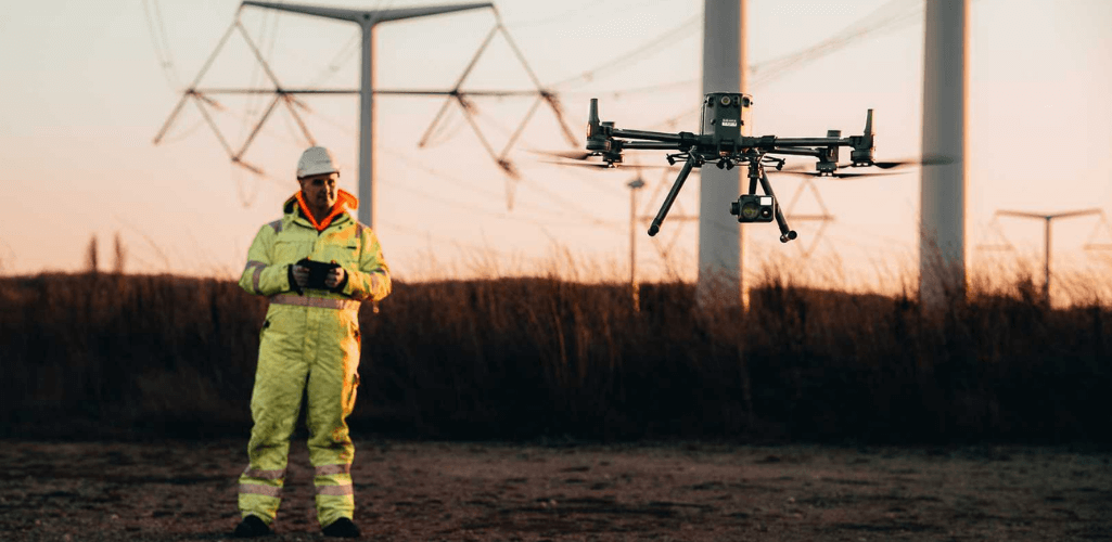
When used in conjunction with the H20 payload series, it has an impressive collection of smart features, such as AI Spot Check to automate routine inspections; and Smart Track, to identify and follow moving subjects like people, vehicles and boats.
And the M300 RTK certainly delivers in the field. When it released in May 2020, it rightly became DJI's flagship drone, and since then, it has established itself as a proven performer, building a glowing track record of use cases, from saving lives to doubling the efficiency of inspections.
Summary: M300 RTK - Still The Go To Drone For Multiple Enterprise Operations
Two years ago, the DJI M300 RTK heralded a new era of enterprise drones: Huge flight time, advanced redundancy and safety features, an increased weatherproofing, and a catalogue of high-caliber interchangeable payloads.

But nothing lasts forever, and innovation doesn't stand still. Step forward the M30 Series, which, with its integrated H20-esque camera, resembles a mini M300 RTK. Indeed, this exciting hybrid has the power and performance of the M300 RTK - with a better IP-rating - coupled with the portability of the Mavic 2 Enterprise Advanced. The M30 Series is also more cost-effective than the M300 RTK.
It is a revolutionary aircraft which will certainly tick many boxes for operators in public safety, search and rescue and inspection.
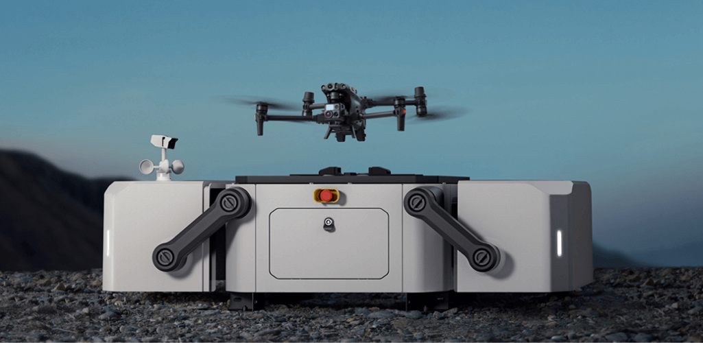
And the M30 Dock version - not yet released - also offers an exciting glimpse into the future, providing a drone in a box solution for automated and remote flights.
Despite this, the M300 RTK is not dead in the water.
When it comes to surveying, for instance, nothing else in the DJI ecosystem comes close. This is especially true for operators wanting to capture LiDAR data and/or those deploying over a large area.
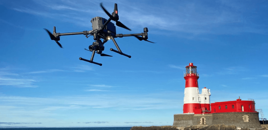
It means that the M300 RTK is a powerful mapping solution, whether that is for dedicated GIS operations or deployed within a fleet of drones where surveying can be useful, such as for public safety mapping.
Also, the M300 RTK is still DJI's most versatile drone in its current enterprise fleet - especially as third-party payloads for the M30 are in their infancy - while new and exclusive M300 RTK releases, such as the H20N night-vision payload, show that this aircraft is still very much part of DJI's plans.
The M300 RTK has established itself as a firm favourite among enterprise professionals and it isn't going anywhere yet.
However, if you don't want to commit to the M300 RTK in the long term, but feel it does have a role to play, you can hire the drone from heliguy™.
heliguy™ has developed an M300 RTK virtual handover course to help operators get to grips with the drone and H20T payload. Contact heliguy™ to discuss the course and/or to start/scale your drone programme with the M300 RTK.
