Products
DJI Launches Two Drone Survey Payloads
Two specialist drone surveying payloads - one with LiDAR and the other with a high-res 45MP camera - have been launched for the DJI M300 RTK. ... Read More

DJI unveils two specialist surveying payloads for the M300 RTK;
Zenmuse L1 has a LiDAR sensor and 20MP RGB camera;
The powerful Zenmuse P1 has a 45MP sensor for detailed data collection;
New payloads transform DJI M300 RTK into a comprehensive aerial mapping tool;
Stitch the drone data into mapping software, DJI Terra, for a complete end-to-end surveying workflow.
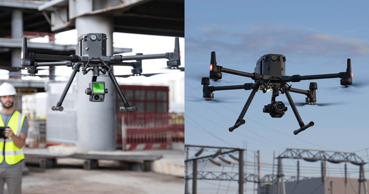
Two specialist surveying payloads - one with LiDAR and the other with a high-res 45MP camera - have been launched for the DJI M300 RTK drone.
The DJI Zenmuse L1 and DJI Zenmuse P1 have been engineered especially for aerial mapping missions, and are described as game-changers for the industry.
Professionals are increasingly turning to drones for surveying, collecting accurate data quickly, accurately, and safely.
Pairing the flagship M300 RTK platform with these new cameras will empower surveyors in their aerial geospatial data acquisition.
To complete mapping workflows, this data can be integrated with mapping software DJI Terra for a complete end-to-end DJI survey solution.
The DJI Zenmuse L1 and DJI Zenmuse P1 can be reserved now from HELIGUY.com™. A £100 reservation fee is required for each payload. Shipping will start in early 2021.
Zenmuse L1 – DJI’s First Lidar Sensor For Aerial Surveying
The Zenmuse L1 represents DJI’s first foray into LiDAR.
Use of this technology has often been stifled due to its high-cost and complexity.
But, the L1 is a cost-effective, easy to use, and accessible solution; a breakthrough as DJI brings LiDAR to the mainstream market.
In aerial surveying, LiDAR builds accurate reality models. It is especially powerful in low-light conditions.
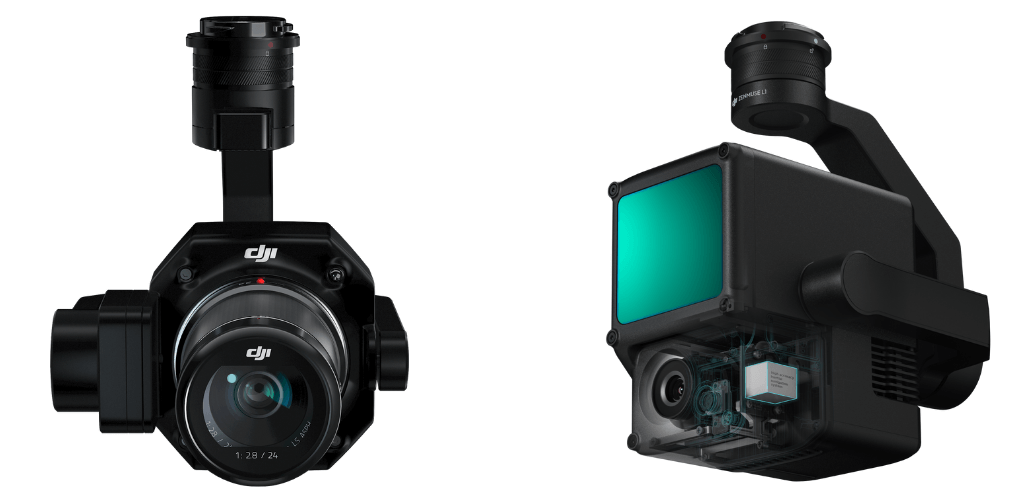
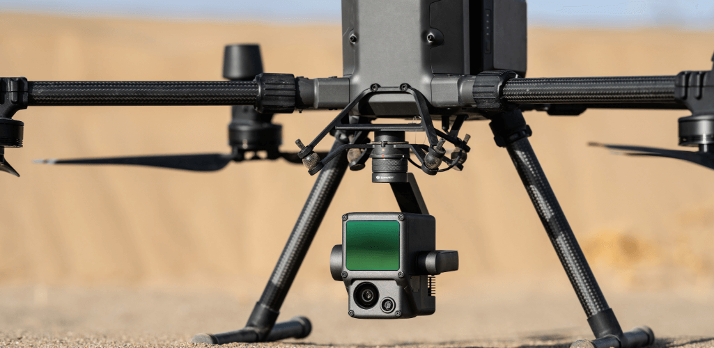
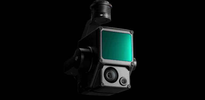
DJI's inaugural LiDAR payload, the Zenmuse L1, is a powerful, but ultralight sensor, combining LiDAR and an RGB camera.
Its key features include:
Livox Lidar module with a 70° FOV;
High-accuracy IMU;
20MP RGB camera with 1-inch CMOS sensor;
Mechanical shutter, on a 3-axis stabilised gimbal;
Generate true-colour point cloud models in real-time or acquire a vast area (up to 2 km²) of point cloud data in one flight;
Point Rate of 240.000 points per second and detection range of 450 metres;
The module supports both Line Scan Mode and Non-repetitive Scanning Mode, a unique technology developed by Livox.
Thanks to these features, the Zenmuse L1 provides full coverage of the area of interest in a very short amount of time.
In fact, the ease and speed of capturing such quality LiDAR data is unprecidented.
The sensor can capture data in any direction, instead of along a defined plane, which is critical for mapping missions.
With an IP54 rating, the L1 can operate in rainy or foggy environments.
Meanwhile, the module's active scanning method enables flights in low-light conditions.
Who Is the L1 Sensor For?
The Livox LiDAR L1's unique non-repetitive scanning process allows the sensor to capture data in any direction, which is critical for mapping applications.
The Zenmuse L1 LiDAR sensor can easily penetrate vegetation canopies and foliage. Agriculture and forestry managers will benefit from insights such as canopy width, vegetation density, area, stock volume and growth trends.
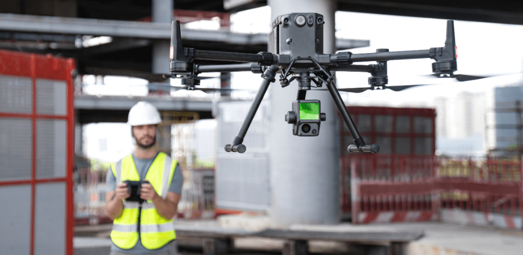
Emergency responders can gather critical insights using true-colour point clouds, gain situational awareness and capture forensic intelligence in real-time for informed decision-making.
The Zenmuse L1 can be used throughout asset-intensive, high-risk and hazardous environments, including in oil and gas, mining, infrastructure, telecommunications and power.
DJI Zenmuse P1 - Full Frame Photogrammetry
The Zenmuse P1 elevates aerial photogrammetry to a new level of accuracy, performance, and high-precision work.
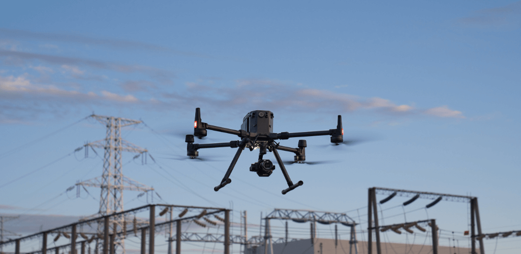
This sophisticated camera is DJI's most powerful payload dedicated to geospatial data acquisition.
When paired with the M300 RTK, it is up to 10 times more efficient compared to using the DJI Phantom 4 RTK in both orthomosaic and oblique mapping missions.
The key features of the P1 include:
45MP full-frame, low-noise, high-sensitivity sensor offering flexible viewing with interchangeable 24/35/50mm fixed-focus lenses;
3-axis stabilised gimbal;
Yields high accuracy without Ground Control Points (3cm horizontally/5cm vertically). This reduces the dangerous and time-consuming task of laying GCPs across a job site;
High efficiency, able to cover 3km² in a single flight when paired with the M300 RTK.
The P1 benefits from a mechanical shutter and new TimeSync 2.0 system, which synchronises time across modules at the microsecond level.
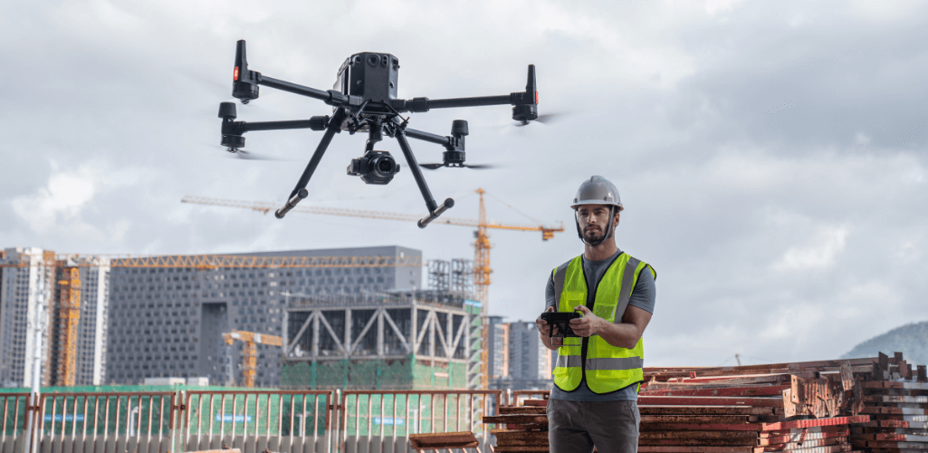
This allows users to capture centimetre-accurate data combined with real-time position and orientation compensation technology.
The Smart Oblique Capture feature dramatically improves efficiency, mimicking a multi-sensor oblique camera, and only capturing the photos essential to the reconstruction at the edge of the mapping areas.
The P1 has a IP4X weather rating.
Who Will Benefit From The Zenmuse P1 Camera?
The DJI Zenmuse P1 will provide a new competitive edge for photogrammetry professionals.
It will enable them to work faster and safer, thanks to its unique features.
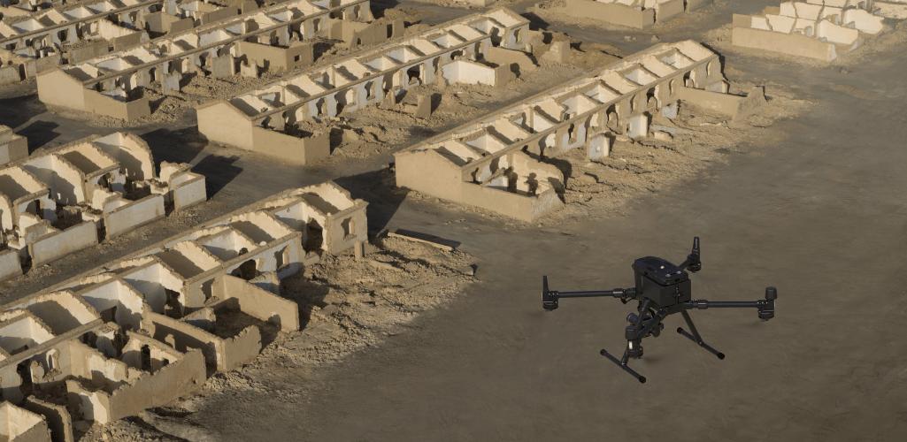
The camera will empower surveyors to conduct complex missions requiring 2D orthomosaics, collect oblique images for 3D modelling with centimetre-level accuracy, and acquire ultra-high resolution image data of vertical or slanted surfaces.
This data will faithfully recreate fine textures, structures, and features for detailed reconstructions, geological surveys, heritage site conservation, hydraulic engineering, and more.
M300 RTK - A Powerful Survey Drone
The M300 RTK is DJI's flagship commercial drone platform.
It has already become a powerful solution for public safety and industrial inspection, thanks to its top-class H20 payload series.
The release of the Zenmuse L1 and P1 cameras will now make it a revolutionary surveying drone.
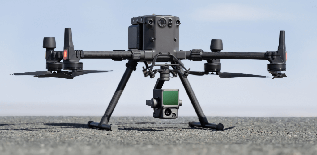
The M300 RTK has an IP45 rating, can carry up to three payloads, and has enhanced flight safety and redundancy modules.
Its extended endurance will allow professionals to capture more data in a single flight; the L1 yielding two square miles of ground coverage, while the P1 provides one square mile of 2D orthomosaic coverage.
Utilise The DJI Survey Ecosystem
The DJI ecosystem has become an integral survey tool, empowering the workflows of AEC and surveying industries.
Data collected from the Zenmuse L1 and P1, as well as the Phantom 4 RTK, can be integrated with DJI Terra; DJI's dedicated mapping software package.
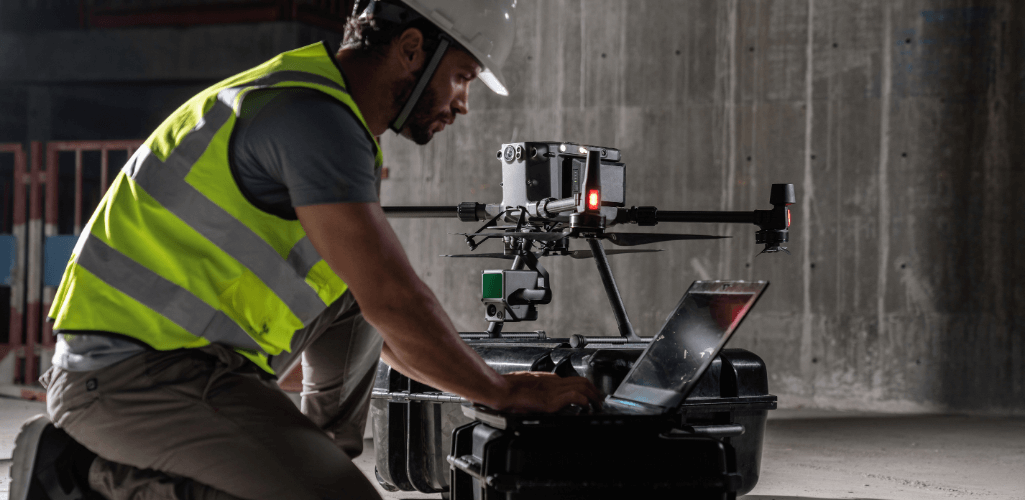
Combining the M300 RTK, Zenmuse P1, and DJI Terra, teams will be able to work on real-time mapping missions gathering geographic information.
The Zenmuse L1 LiDAR camera becomes a complete and versatile solution when integrated with the M300 RTK and Terra.
It gives users real-time 3D data, efficiently capturing the details of complex structures and delivering highly-accurate reconstructed models.
What DJI Says
DJI is delighted to launch these two ground-breaking payloads.
Arjun Menon, Engineering Manager at DJI in the US, said: "With these two new payloads, we are providing an all-integrated complete solution to our enterprise customers active in accurate geospatial data acquisition.
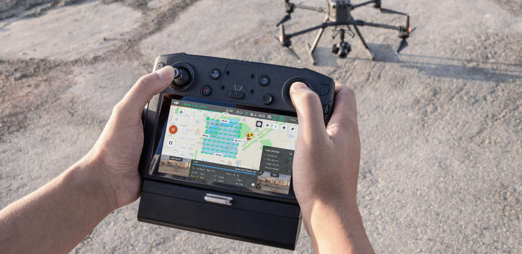
“Having an affordable LiDAR solution seamlessly integrated into our best commercial drone is a dream that becomes reality for surveying, mapping and construction professionals.
"They will be able to see, cover and understand the geospatial context from a totally new perspective thanks to the high level of accuracy and quality of the data collected from these tools in the sky.”
