News
Published on 12 May 2022
James Willoughby
Heliguy Partners With Emlid To Offer GNSS Surveying Solutions
heliguy™ has partnered with Emlid to offer affordable and highly-accurate GNSS solutions to empower surveying workflows. The Emlid ecosystem includes the Reach RS2 multi-band and Reach RS+ single-band RTK GNSS receivers. Emlid technology ca ... Read More

heliguy™ partners with Emlid to offer affordable and highly-accurate GNSS solutions to empower surveying workflows;
Use Emlid's cost-effective survey-grade receivers for RTK and PPK workflows;
The versatility and functionality of Emlid's technology enable it to be used by traditional land surveyors or drone operators;
The Emlid ecosystem includes the Reach RS2 multi-band RTK GNSS receiver, offering high accuracy at any job site in the world;
Addition of Emlid products expands the heliguy™ surveying and GIS portfolio. Our in-house specialists are on hand to offer technical and workflow support.
heliguy™ has partnered with Emlid to offer affordable and highly-accurate GNSS solutions to empower surveying workflows.
Built to offer centimetre precision and be deployed for RTK and PPK workflows, Emlid’s survey-grade receivers and modules are designed for land surveying and drone mapping.
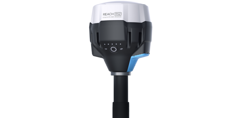
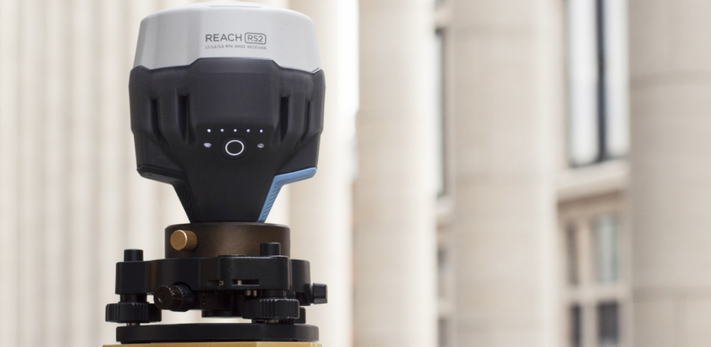
heliguy™ has added Emlid’s ecosystem of products to its portfolio, including the Reach RS2 multi-band RTK GNSS receiver.
The Reach RS2 is a rugged and robust solution, offering high accuracy at any job site in the world.

Ben Sangster, heliguy™ GIS/Surveying Lead, said: “Emlid’s easy-to-use GNSS products, in particular the Reach RS2, deliver an effective and lightweight solution providing professional-grade positioning information.
“The versatility and functionality of their products mean that they can be used by traditional land surveyors, or by drone operators, to replace expensive household names at a significantly more affordable price point and with equally reliable solutions.
“It is a delight to bring the Emlid product range into our ecosystem and expand our surveying and GIS portfolio. Our in-house specialists will be on hand to offer technical and workflow support to help integrate these systems into our clients' operations.’’

The Reach RS2 obtains a fixed position in seconds, while centimetre accuracy can be achieved on distances up to 60 km (35 miles) in RTK and 100 km (60 miles) in PPK mode. When working in remote areas, Reach RS2 has built-in licence-free LoRa radio that has proven to be a reliable link for RTK corrections on distances up to 8 km/5 miles.
RINEX raw data logs are compatible with PPP services to provide centimetre-precise results on any place on Earth. The receiver tracks GPS/QZSS (L1, L2), GLONASS (L1, L2), BeiDou (B1, B2), Galileo (E1, E5), and SBAS (L1C/A). Reach RS2 also has a built-in cellular 3.5G modem for hassle-free NTRIP connections in the field.
Built for operation in the most challenging environments, the Reach RS2 has an IP67 weather rating, is made of polycarbonate and can operate in temperatures from -20ºC to 65ºC. It also provides up to 22 hours of autonomous work when logging data and up to 16 hours as a 3G rover, even in cold weather.
The Emlid Reach RS2 may be used as a base or a rover, enabling operators to supplement current tools, or purchase affordable base/rover combinations.
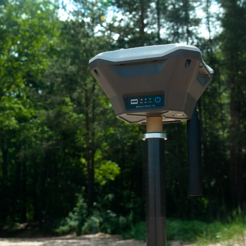
Other Emlid products added to the heliguy™ portfolio include: The single-band RS+ receiver - pictured below - as well as the Reach M2 (multiband) and M+ (single band) RTK GNSS modules for precise drone mapping with less GCPs.

Find out the difference between multi-band (Reach RS2) and single-band (Reach RS+) receivers in our in-depth comparison blog.
The Emlid ecosystem can be deployed in conjunction with ReachView 3. This app - available for Android and iOS - supports thousands of coordinate systems and can be used to collect and stake out points and control all the features of Reach receivers, such as setting up a base station, logging RINEX data, and configuring NMEA output.
Contact the heliguy™ in-house surveying team to discuss the Emlid ecosystem and how we can help you add these receivers to your workflows.
--
About Emlid
Emlid is an innovative company founded in 2014 to develop and produce state-of-the-art positioning tools.
With its Reach receivers having the latest GNSS technologies on board, Emlid has democratised centimetre precision through providing high accuracy, easy-to-use survey-grade tools to customers all over the world.
All Emlid products are designed to work out of the box and come complete with ReachView software as well as compatibility with many favourite surveying softwares. Emlid is headquartered in Budapest, Hungary.
