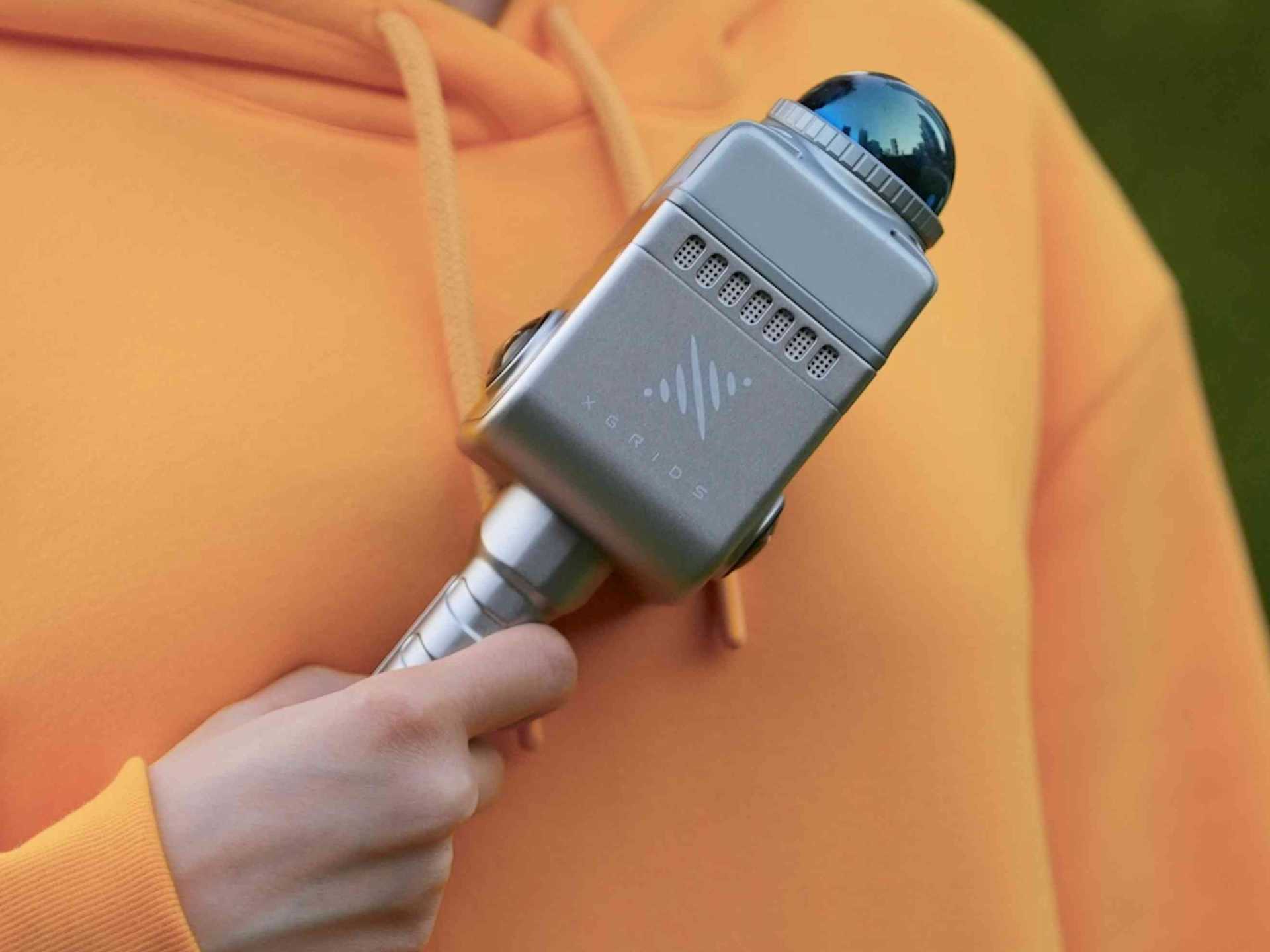
XGRIDS 3D Modelling Scanners
On-the-go mobile mapping
XGRIDS 3D Laser Scanners
Unlock the limitless potential of 3D data with XGRIDS 3D scanners and software ecosystem, powered by innovative multi-SLAM and 3DGS technology.
Rapidly create next-gen 3D content with XGRIDS' go-anywhere mobile mapping solutions: The Lixel L2 Pro, Lixel L2 and Lixel K1.
Deploy in complex environments and benefit from real-time true colour point cloud generation.
The XGRIDS Lixel CyberColour (LCC) platform revolutionises 3D reconstruction, enabling users to automatically create ultra-realistic large-scale 3D models.

Best Sensors From XGRIDS
Choose between the XGRIDS Lixel L2 Pro, Lixel L2, and the Lixel K1.
XGRIDS Lixel L2 Pro - 32 or 16 Channel
Lixel L2 Pro 32 Channel captures 640,000 pts/s, and is available with either a 120m or 300m scan range.
Lixel L2 Pro 16 Channel captures 320,000 pts/s with a 120m scan range.
Dual 48MP panoramic cameras.
Dense point-cloud creation.
True-colour point cloud generation.
Multi-SLAM algorithms.
Use to create photo-realistic Gaussian Splats.

XGRIDS Lixel L2 - 32 or 16 Channel
Lixel L2-32 has a 300m scan range and can scan 640,000p/s for a broader scanning perspective and upgraded point-cloud quality.
Lixel L2-16 has a 120m scan range and can achieve 320,000p/s.
Integrated LiDAR, panorama cameras for a more vibrant colour spectrum, and precision IMU.
True-colour point cloud generation, real-time outputs.
1.2cm relative accuracy; 2cm repeat accuracy; 3cm absolute accuracy.
Point cloud thickness within 1 cm; Significant reduction in noise points.
Multi-SLAM algorithm for operations in complex environments. Newly-added RTK enhances calculations.
Use the drone mount (available separately) to integrate Lixel L2 with DJI M350 RTK or M300 RTK.

XGRIDS Lixel K1
Multi-sensor data fusion with the Lixel K1, including laser, vision, and GNSS data.
Panoramic camera: 56MP, 360*360 True Panoramas.
LiDAR Module: 40 channels, 200,000 points/s; Accuracy 1.2cm; Scanning distance 40m; 360° horizontal FOV.
True-colour point cloud generation and real-time outputs.
Integrates with numerous accessories, including RTK module
Use to create photo-realistic Gaussian Splats.

Lixel CyberColour - Ultra-realistic Model Generation
Lixel CyberColor (LCC) represents a groundbreaking advancement in 3D content generation - using Gaussian Splatting to enable the creation of vast and ultra-realistic 3D models.
This technology - which overcomes the challenges associated with modelling large spaces and complex environments - enables unprecedented immersive experiences across various spatial computing devices and can be seamlessly integrated with professional 3D software and platforms.
Benefits include:
Automated generation of large-scale, true-to-life models.
Fully-integrated 3D content generation solution.
Infinite-scale rendering.
LiDAR integration for precision.
AI-powered dynamic object removal to reconstruct detailed digital twins.
Open development ecosystem. LCC plugins and SDKs will be available for platforms such as Unity, UE, Web and Mobile, Empowering unprecedented boundless reproduction of 3D content.

Software Suite: LixelStudio & LixelGo
The XGRIDS L2 and K1 are compatible with the complementary software suite of LixelStudio and LixelGo.
LixelStudio: Intelligent 3D processing software, providing services for viewing, editing, and processing laser point clouds.
LixelGo: Companion app for a mobile-controlled operational workflow, real-time preview of scan results, and one-screen monitoring of device status.

Industry Use-cases For XGRIDS Handheld LiDAR Scanners
Geomatics: Real-world 3D, DEM/DSM and land-air fusion.
Smart City: Grid management, urban renewal, and BIM/CIM.
Public Safety: Real-time reconstruction, AI recognition, and enhanced situational awareness.
Energy and Mining: Digital mine, stockpile measurement, and power inspection.
Metaverse: Realistic space, virtual and real combination, and multimedia presentation.
Tourism: Online viewing, tourist attraction management, and virtual and real interaction.
Real Estate: Precision measurements for accurate floor plans and space utilisation, enhanced visualisation and inspection, and detailed virtual tours.
