Esri Site Scan for ArcGIS
Price on Request
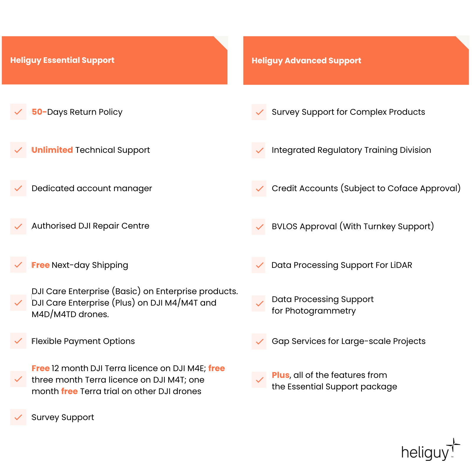
50-days return policy
Next-day delivery - order before 3 pm
Site Scan for ArcGIS is an end-to-end, cloud-based drone mapping software that revolutionises drone imagery data collection, processing, and analysis.
It enables automatic fleet management, repeatable flight plans, and secure image processing in a scalable cloud environment to create quality 2D and 3D models digital assets.
Overview
Contents
Specifications
Support
FAQ
Heliguy Services
Esri Site Scan for ArcGIS
End-to-end drone mapping software platform
Plan Drone Flights In 3D: Create and share advanced 3D flight plans with your pilots. Overlay 2D and 3D data from ArcGIS Online and ArcGIS Enterprise for enhanced flight safety and data quality. Manage your data in the field and upload it to the cloud.
Process In The Cloud: Process drone data in the cloud to produce true orthos and high-quality 3D meshes.
Drone Analytics: Perform drone analytics by measuring distances, surface areas, and volumetrics; conducting temporal analysis; generating cut/fill maps; and measuring change over time.
Enterprise Fleet Management: Track flights, drone hardware, and pilot flight history. Drone programme managers can create custom preflight checklists for their teams and store responses in the cloud.
Advanced Data Analysis in ArcGIS: Site Scan aerial photogrammetry data is available throughout the ArcGIS system, on-premises or in the cloud, to perform and automate advanced analytics such as object detection with ArcGIS Image Analyst.

Accreditation
![UK CAA Recognised Assessment Entity (RAE)]()
UK CAA Recognised Assessment Entity (RAE)
Authorised GVC/A2 CofC Training Courses
![UK CAA Permission for BVLOS Flights: Operational Authorisation UAS 15435]()
UK CAA Permission for BVLOS Flights: Operational Authorisation UAS 15435
Helping companies unlock BVLOS missions in an AAE with DJI Docks
![The UK's only DJI Gold and S-Level Partner]()
The UK's only DJI Gold and S-Level Partner
Trusted supply on DJI products
![ISO 9001 Certification]()
ISO 9001 Certification
Driving industry standards through robust operational protocols for enhanced safety and reliability
![Training Qualifications UK]()
Training Qualifications UK
Accredited training courses endorsed by TQUK.
![Ofqual-regulated Training]()
Ofqual-regulated Training
Recognised quality mark for meeting accreditation criteria.
![Cyber Essentials]()
Cyber Essentials
Verified data security
![Financial Conduct Authority]()
Financial Conduct Authority
Authorised to conduct regulated financial services
![Armed Forces Covenant Defence Employer Recognition Scheme - Silver Award]()
Armed Forces Covenant Defence Employer Recognition Scheme - Silver Award
Proud supporter of our Armed Forces
![D-U-N-S Registered: 77-916-1210]()
D-U-N-S Registered: 77-916-1210
Verified to conduct international business


