AirHUD
£0.00
Tax included in UK & Shipping calculated at checkout
50-days return policy
Next-day delivery - order before 3 pm
AirHUD is the first real heads-up display for professional drone pilots, providing unlimited situational awareness.
View real-time information in a 3D 360° virtual space and see the drone in the sky at all times - even if it becomes obscured - to increase flight safety.
Obtain a detailed view of your flight path, potential obstacles, and other hazards that may be encountered during a mission, and overlay relevant data such as speed, altitude, and battery levels.
AirHUD benefits enterprise drone operations and can be used as a training tool, enabling operators to practice in a simulated environment.
Overview
Contents
FAQ
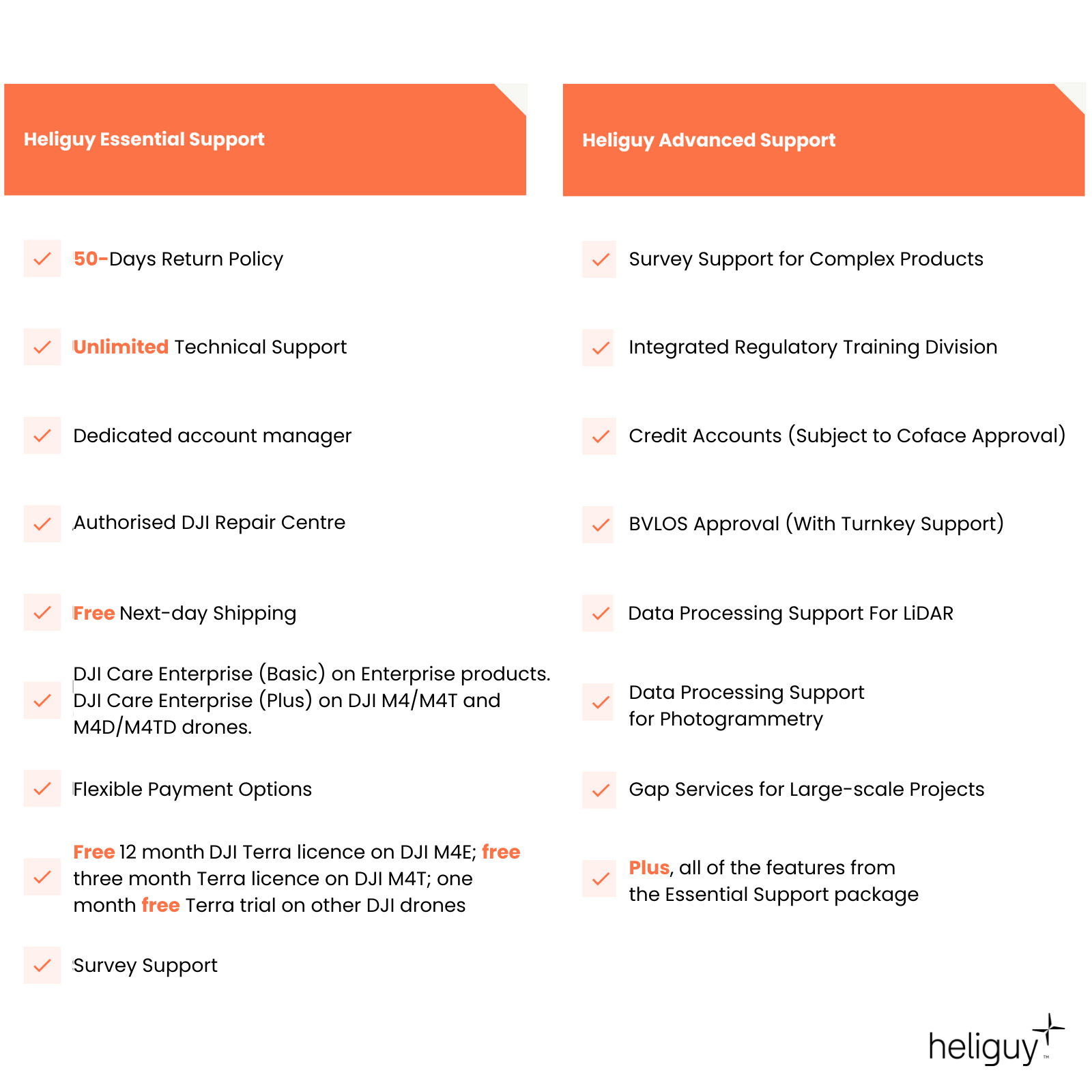
Heliguy Services
AirHUD Interface
Real-time views for enhanced awareness
AirHUD provides a wealth of data during a flight - all of which is easily accessible at any point of the mission. This includes the drone’s status and location, real-time map, and waypoints, while airspaces and no-flight zones are clearly visible. All of this data can be accessed via the AirHUD user interface - which features:
Drone indicator, sky map, and cameras view
Home position indicator and other world-based indicators
Belt User Interface (Belt UI): Panels and map

Interactive Maps
Detailed views of the flight area
Benefit from two types of maps - circular map and big map - which can be displayed during flight. Key features include the ability to mark specific points on the map, upload waypoint missions, and zoom in/out to obtain more detailed views about the flight area.
Circular Map (World Map): See where the drone, pilot, and home position are on the map.
Big Map: Provides a better view of your flying area. See surrounding buildings and their heights as 3D elements on the map. Also, walk on the map to explore it in more detail.

Drone Indicators
Track telemetry data and drone status
See important information during the flight, including location information and aircraft performance indicators. These elements include:
Telemetry data, including latitude/longitude, altitude, distance from home position, and the drone’s compass heading.
Drone indicator brackets show where the drone is.
Important drone information, such as battery level, satellite reception, and remaining airtime.
Access the live video feed from the drone’s camera(s).
Sky Map enables you to see the map in the sky while flying.

Panels
Real-time diagnostics for enhanced flight safety
The Belt UI consists of panels and a map to provide key information during flight. Panels include:
Diagnostics: Provides you with a flow of information from the drone and / or controller. In case of a problem, or when you need to be informed, warnings are shown to you as notifications in this pane
Telemetry: Detailed information about telemetry that flows from the connected drone, such as vehicle ID, heading, latitude/longitude, and altitude.
Map: Access the live map.
Connections: Access connection data between the AR glasses, the controller, the network and the drone. Icons are coloured-coded depending on whether the connections are successful or there are problems.
Airspaces: See suitable areas and flight restrictions. All of these pieces of information are seen as 3D in the air.

Training
Hone your skills in a simulated environment
AirHUD Training enables pilots to practice their flying skills in a simulated environment - and receive real-time feedback. The immersive and lifelike experience enables operators to increase their confidence without the risk of crashing the drone or hitting obstacles.
Benefits include:
Not weather dependant
Fly a simulated drone in the classroom for basic controls training
Fly a simulated drone outdoors in real environment to hone the skills
Fly a real drone in real environment using AirHUD AR tools
Simulate flights that follow CAA regulations
Practice all the complex flying scenarios before you take your real test

Accreditation
![UK CAA Recognised Assessment Entity (RAE)]()
UK CAA Recognised Assessment Entity (RAE)
Authorised GVC/A2 CofC Training Courses
![UK CAA Permission for BVLOS Flights: Operational Authorisation UAS 15435]()
UK CAA Permission for BVLOS Flights: Operational Authorisation UAS 15435
Helping companies unlock BVLOS missions in an AAE with DJI Docks
![The UK's only DJI Gold and S-Level Partner]()
The UK's only DJI Gold and S-Level Partner
Trusted supply on DJI products
![ISO 9001 Certification]()
ISO 9001 Certification
Driving industry standards through robust operational protocols for enhanced safety and reliability
![Training Qualifications UK]()
Training Qualifications UK
Accredited training courses endorsed by TQUK.
![Ofqual-regulated Training]()
Ofqual-regulated Training
Recognised quality mark for meeting accreditation criteria.
![Cyber Essentials]()
Cyber Essentials
Verified data security
![Financial Conduct Authority]()
Financial Conduct Authority
Authorised to conduct regulated financial services
![Armed Forces Covenant Defence Employer Recognition Scheme - Silver Award]()
Armed Forces Covenant Defence Employer Recognition Scheme - Silver Award
Proud supporter of our Armed Forces
![D-U-N-S Registered: 77-916-1210]()
D-U-N-S Registered: 77-916-1210
Verified to conduct international business


