Approved Used Grade C DJI Phantom 4 RTK (without Foam Case)
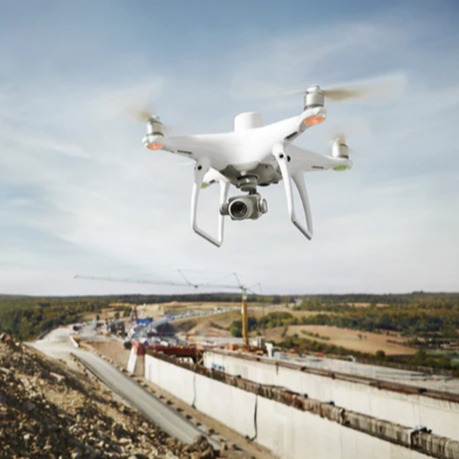
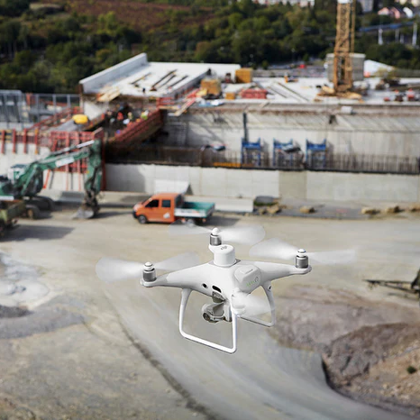
The Phantom 4 RTK is an advanced mapping drone designed for precise data collection. Compatible with DJI Terra 3D mapping software, it offers easy integration with DJI’s ecosystem, a dedicated app, and support for DJI's Mobile SDK for enhanced automation and customisation.
What is Approved Used? Approved Used refers to our selection of pre-owned drones, payloads, and accessories that have been carefully inspected and approved by our Tech Team for resale. Each item is graded an A, B or C to reflect its condition and value.
Grade C A Grade C product may display noticeable cosmetic defects but remains fully operational. It comes with a 3-month warranty, making it an economical choice for budget-conscious buyers who still seek reliable performance.
Benefits of Choosing Approved Used With Approved Used, you get a high-quality drone at a more budget-friendly price.
- Overview
- Contents
- Specifications
- Support
- FAQ
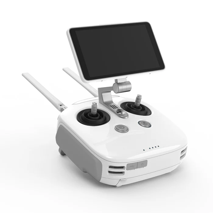
DJI Phantom 4 RTK
Next Generation Accuracy
Exceptional Accuracy: The DJI Phantom 4 RTK Provides 1cm+1ppm RTK horizontal and 1.5cm+1ppm vertical accuracy for precise data collection.
Fewer Ground Points Needed: Advanced RTK technology reduces the need for numerous ground points while maintaining high accuracy.
Real-Time Positioning: The integrated RTK module adds centimetre-level real-time positioning data to image metadata for accurate mapping and surveying.
Stable and Reliable: Redundant GNSS ensures stable flight and data accuracy in challenging conditions.
Flexible Data Options: Compatible with D-RTK 2 Mobile Station, NTRIP, and PPK for versatile data processing and connectivity.

Enhanced Precision and Image Accuracy
Accurate Data Every Flight
TimeSync System: DJI Phantom 4 RTK continuously aligns the flight controller, camera, and RTK module for optimal accuracy during every flight.
Precise Image Capture: Each photo uses the most accurate positioning data at the centre of the 1" CMOS sensor for enhanced accuracy.
High-Resolution Camera: Equipped with a 1" CMOS sensor, the Phantom 4 RTK achieves a 2.74 cm Ground Sample Distance (GSD) at 100 meters altitude.
Camera Calibration: DJI calibrates each camera to ensure precise data collection, with unique distortion parameters saved to image metadata for enhanced accuracy during post-processing.

Flight Planning Applications
Customised Flight Modes For Smoother Missions
GS RTK App: This app gives pilots intelligent control, offering Photogrammetry and Waypoint Flight modes.
Custom Flight Planning: Allows selection of flight path, overlap rate, camera settings, speed, and altitude for precise data capture.
Workflow Automation: Simplifies complex surveying missions with advanced automation tools.
KML File Support: Directly load KML area files for easy mission planning.
Shutter Priority Mode: Ensures consistent image exposures throughout the mission.
Strong Wind Alarms: Alerts pilots of strong winds to prevent compromised data quality.

DJI Phantom 4 RTK: Recommended Extras
Complete your purchase with...
Why you should buy from heliguy™?
Comprehensive, lifetime assistance to help you start and scale your operations.
Streamlined Delivery
Free Next Day Shipping Over £99 and 50-Day Free Returns on Faulty Items.
Trusted UK Partner
20 years in UAVs, expertise in repairs, servicing, training, and insurance.
UK Support
In-country technical support line staffed by four trained technicians.

