Rental DJI Matrice 4T
£0.00
inc VAT weekly
Please book your rental online at least 48 hours in advance. If you require it sooner, kindly call us
Rent the DJI Matrice 4 Thermal - a compact multi-sensor drone for public safety, security, and inspection.
DJI Matrice 4 Thermal DJI Matrice 4T has a thermal sensor, wide-angle camera, 3x and 7x zoom cameras, and a laser rangefinder. It also features an NIR auxiliary light. It has a maximum flight time of 49 minutes.
Rental Benefits Hiring the DJI Matrice 4 Thermal is more cost-effective than an outright purchase and enables you to access it only when you need to.
What Do I Need To Book A Rental?
Provide us with some key documents - then enjoy your hire
Insurance
Insure your rental under a Hired-in (non-owned) equipment cover policy - to the full cost value of the equipment and for the duration of your hire period.
Flyer ID
You must have a valid Flyer ID, and secure your Operator ID to your drone. We don't require proof of drone registration or drone training (such as the GVC).
Proof of ID
After check-out, we'll ask for a copy of your passport or driving licence, plus a utility, bank, or council tax statement matching your name/delivery address.
Overview
Contents
Specifications
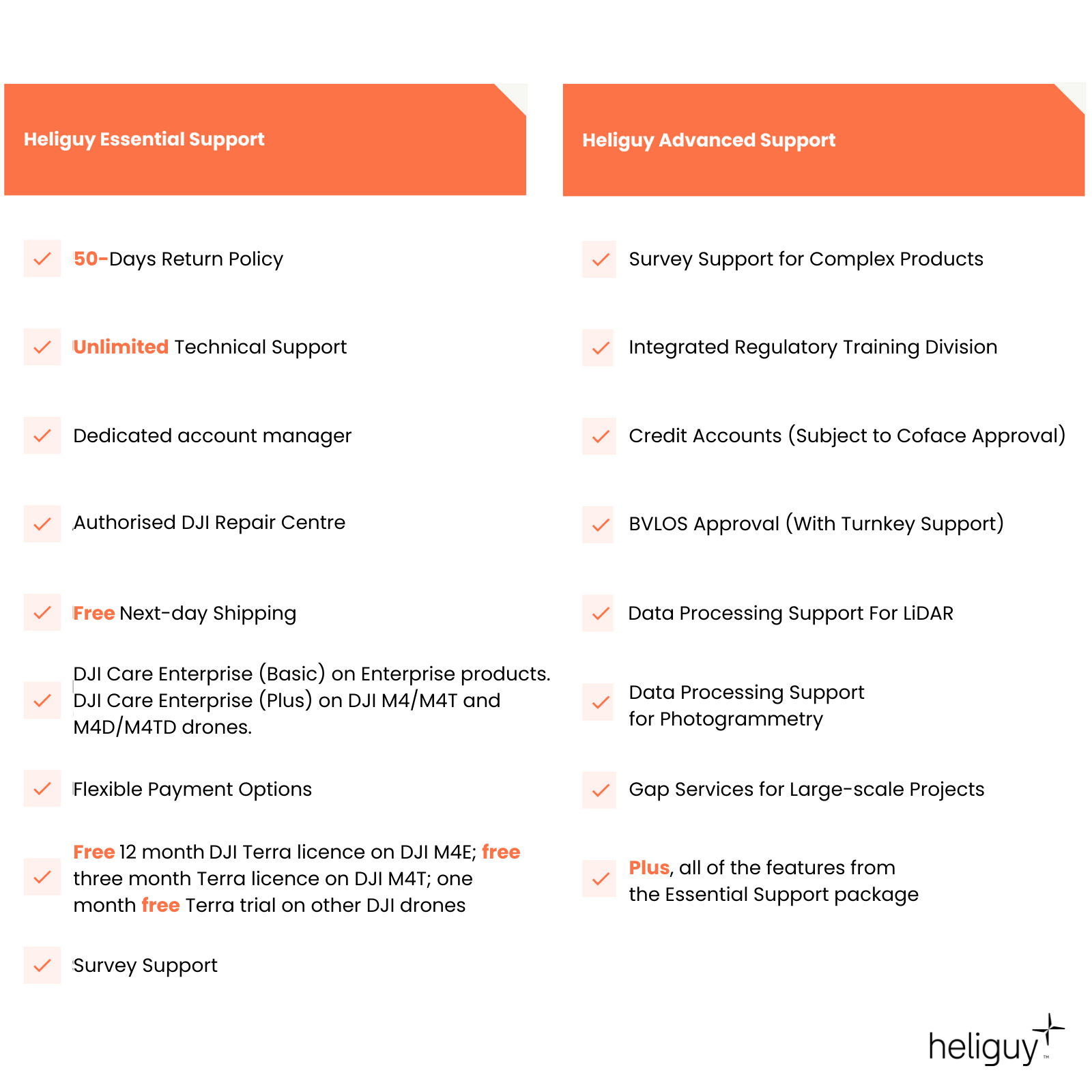
Support
Rental Process
FAQ
Heliguy Services
DJI Matrice 4T Key Features
Versatile and intelligent enterprise drone
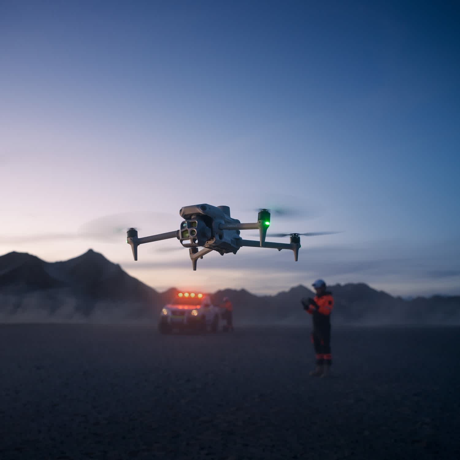
Integrated Six Module Payload: Wide-angle camera, 3x zoom and 7x zoom optical zoom lenses, thermal sensor, NIR auxiliary light, and laser rangefinder.
Low-light Data Capture: Matrice 4T excels in low-light environments, with thermal imaging and new hardware for NIR illumination.
AI Recognition Capabilities: AI algorithms recognise people, vehicles, and ships. It also supports custom subject detection models.
Enhanced Flight Safety: GNSS+Vision Integrated Positioning and Navigation System; Automatic Obstacle Data Acquisition; 5-Directional Vision Assist View.
Comprehensive Accessory Upgrades: Compatible with gimbal-following spotlight and real-time voice speaker; D-RTK 3 multifunctional station; and DJI RC Plus 2 Enterprise controller.
DJI Matrice 4T Payload
Visual and thermal data collection
Wide: 1/1.3 CMOS, 48 MP, f/1.7, Equivalent Focal Length: 24mm.
3x Zoom: 1/1.3 CMOS, 48 MP, f/2.8, Equivalent Focal Length: 70mm.
7x Zoom: 1/1.5 CMOS, 48 MP, f/2.8, Equivalent Focal Length: 168mm
Infrared Thermal Camera: 640 x 512 resolution; as well as 1280 x 1024 infrared super-resolution.
NIR Auxiliary Light: Illumination distance of 100m.
Laser Rangefinder: 1800m measurement range.
Excels In Low-light Environments
Quality data collection in dark conditions
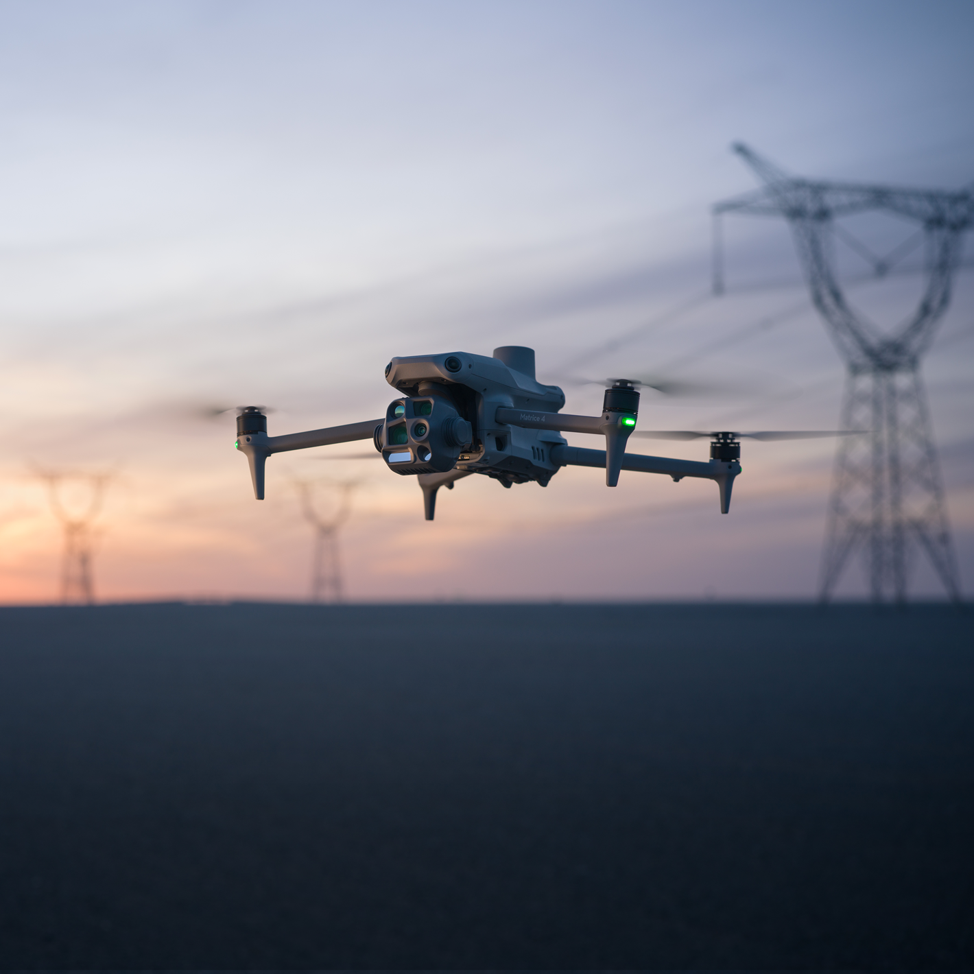
Night-scene Mode: Overcome the limitations of darkness with full-colour night vision, IR cut filter, and an NIR auxiliary light.
Smart Capture: The Matrice 4 Series has a large aperture and intelligent low-light capabilities, enhancing operations during dusk and nighttime.
Infrared Illumination: The Matrice 4T features new hardware for NIR illumination, allowing for lighting distances of up to 100 metres.
Thermal Imaging: Supports infrared super-resolution with up to 1280 x 1024 image resolutions.
Low-light Fisheye Omnidirectional Sensing: Six HD low-light fisheye lenses to enhance the visual low-light positioning and obstacle avoidance capabilities.
Powerful Zoom Capability
Clarity from a distance
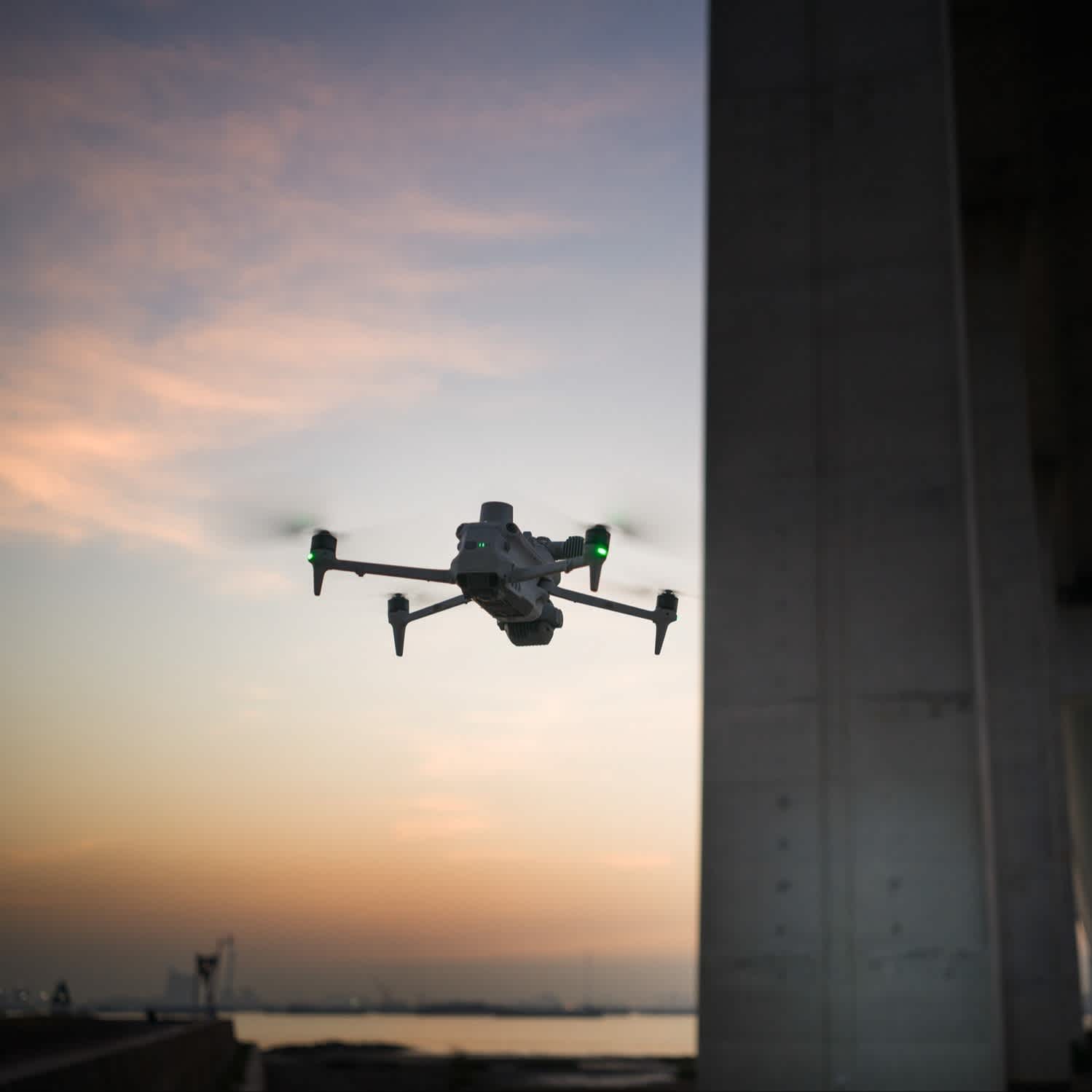
3x Optical Telephoto Lens: Ideal for medium-range inspections, this lens detects screws and cracks from up to 10 metres away and provides clear visibility of instrument readings at substations.
7x Telephoto Camera: Equipped with 48MP resolution, it captures intricate details from signs as far as 250 meters.
Foreground Stabilisation: Advanced stabilisation technology ensures sharp and steady telephoto shots, even at 10x zoom or higher.
Electronic Dehazing: Enhances image clarity in foggy, hazy, or humid conditions, adapting to various environmental challenges.
New Search Assistant Suite
Boost operational efficiency
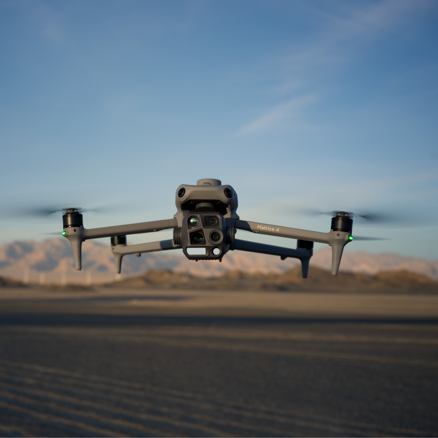
AI Recognition: An integrated AI model identifies vehicles, vessels, and individuals during search and rescue missions or routine flights. It supports model switching to extend AI functionality to diverse scenarios.
Observation Range Recording: DJI Pilot 2 captures and logs the ground areas viewed by the camera, including the center frame position, and visualises the covered region on a map—perfect for mountain and security searches.
Built-in Laser Rangefinder: Provides real-time measurements up to 1,800 meters. Use it for point marking, line plotting, or area calculation, whether identifying target locations for security or determining wildfire sizes.
Intelligent Operations: Features such as FlyTo, POI, SmartTrack, and Cruise enhance mission precision and efficiency.
Next-gen Safety Features
Confidence in every flight
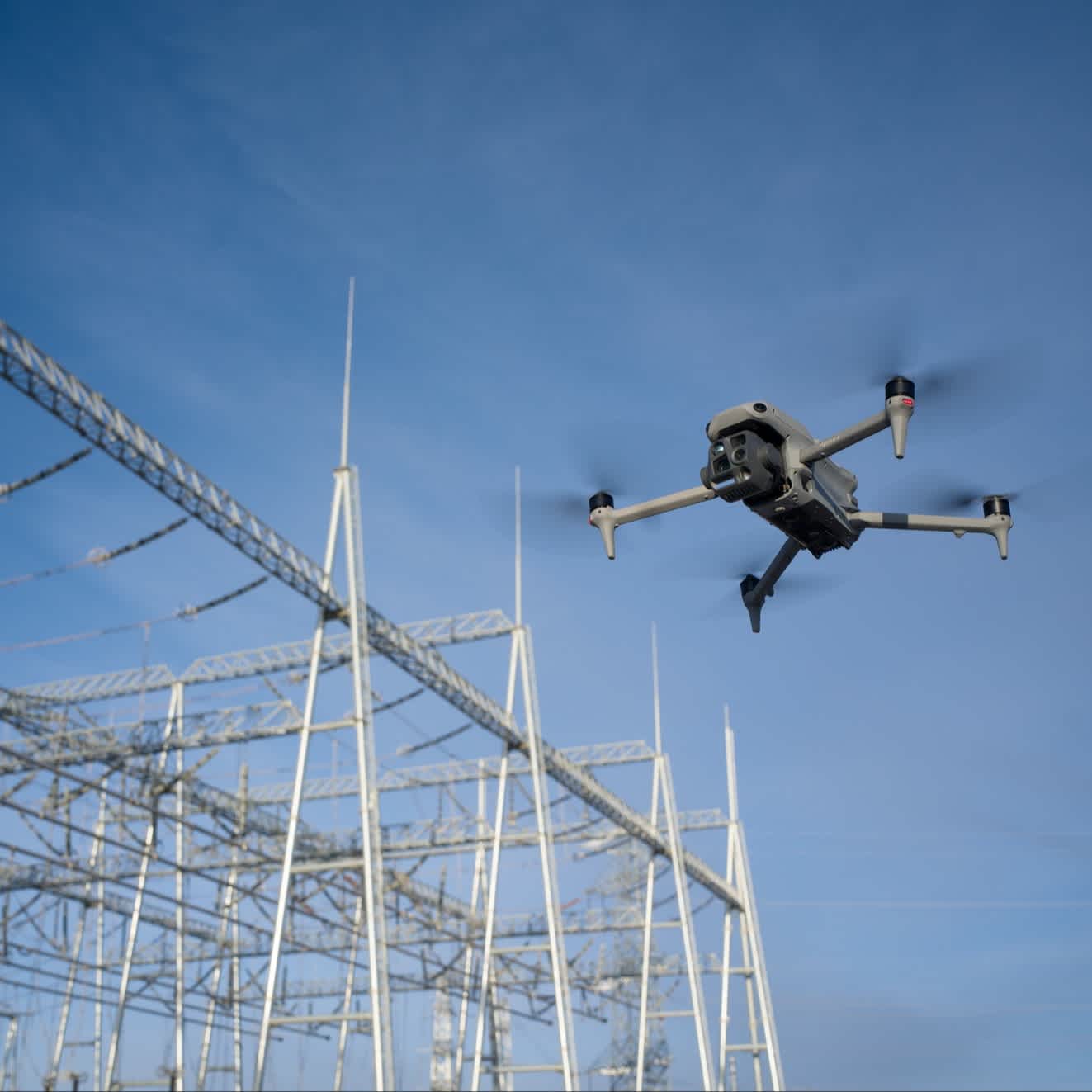
Integrated Positioning: The GNSS+ Vision Integrated Positioning and Navigation System enables fast take-off within 15 seconds and allows real-time updates to the return-to-home (RTH) point via visual positioning. RTH can be completed even in GNSS-deprived environments.
Intelligent Escort: With internet-connected remote controllers, detailed offline maps and terrain obstacle data are preloaded. Five-directional vision assistance and downward vision enhance situational awareness for safer flights.
DJI O4 Enterprise Image Transmission: Featuring an 8-antenna adaptive system paired with the remote controller’s high-gain receiving antenna, this technology ensures robust transmission and supports download speeds of up to 20MB/s.
Upgraded Accessories
Take your flights further
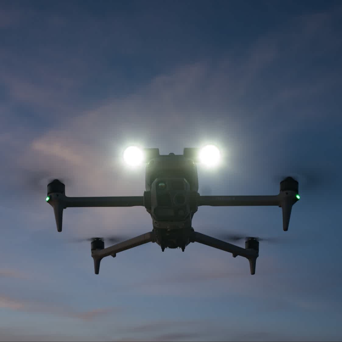
Gimbal-following Spotlight And Real-time Speaker: Use the spotlight and speaker independently or in combination. Spotlight illuminates subjects from 100m and supports two modes: Always-on and strobe. The speaker has a broadcast range of 300m and supports recorded messages, media imports, and text-to-speech conversation.
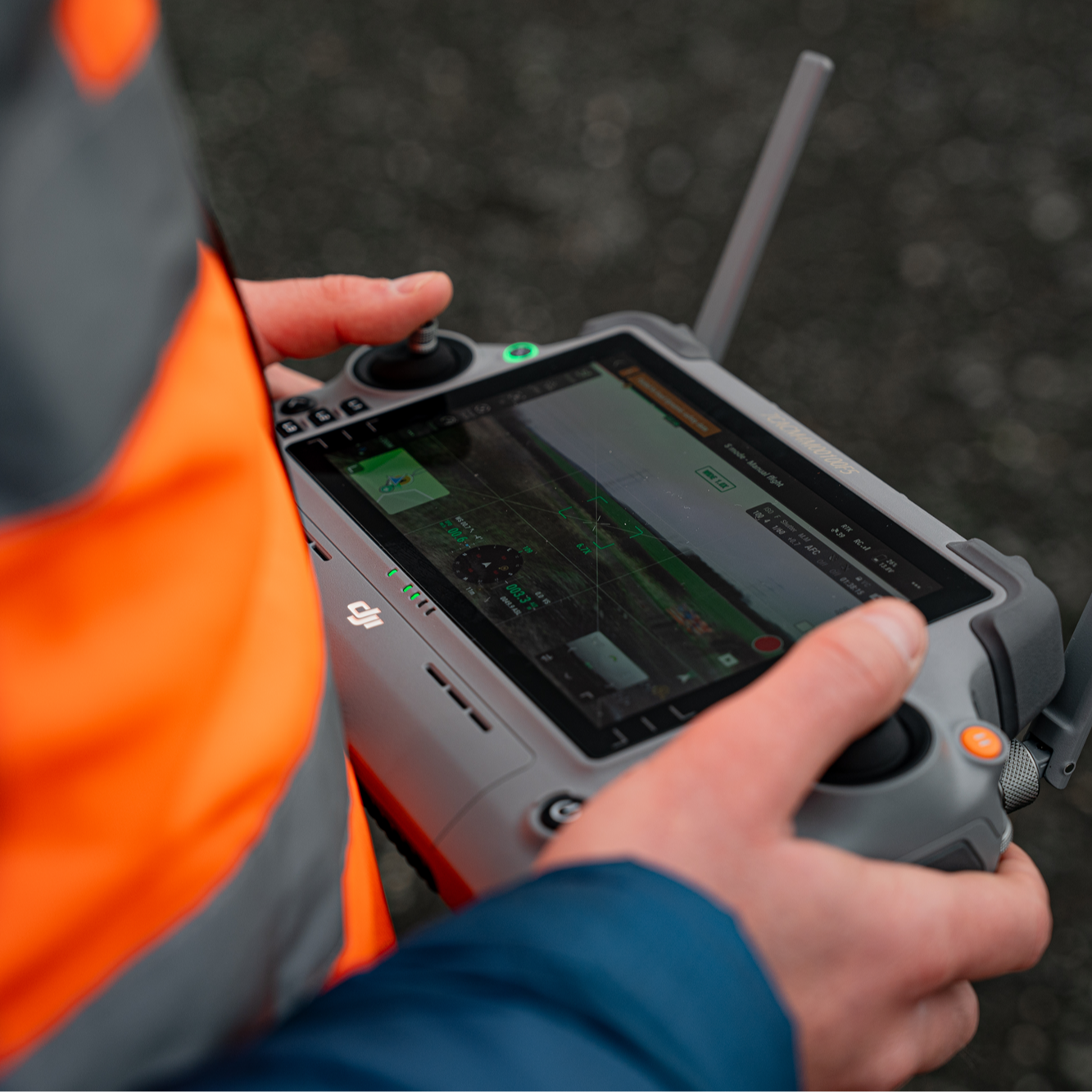
DJI RC Plus 2 Enterprise: This IP54-rated controller has a new high-brightness screen. It supports the O4 Enterprise image transmission system, plus SDR and 4G hybrid transmission solutions.
High-precision D-RTK 3 Multifunctional Station: Enables centimetre-level high-precision positioning for drones. Use as a mobile station for precision check/control point information, and enhance image transmission distance when deployed at high altitudes.
Accreditation
![UK CAA Recognised Assessment Entity (RAE)]()
UK CAA Recognised Assessment Entity (RAE)
Authorised GVC/A2 CofC Training Courses
![UK CAA Permission for BVLOS Flights: Operational Authorisation UAS 15435]()
UK CAA Permission for BVLOS Flights: Operational Authorisation UAS 15435
Helping companies unlock BVLOS missions in an AAE with DJI Docks
![The UK's only DJI Gold and S-Level Partner]()
The UK's only DJI Gold and S-Level Partner
Trusted supply on DJI products
![ISO 9001 Certification]()
ISO 9001 Certification
Driving industry standards through robust operational protocols for enhanced safety and reliability
![Training Qualifications UK]()
Training Qualifications UK
Accredited training courses endorsed by TQUK.
![Ofqual-regulated Training]()
Ofqual-regulated Training
Recognised quality mark for meeting accreditation criteria.
![Cyber Essentials]()
Cyber Essentials
Verified data security
![Financial Conduct Authority]()
Financial Conduct Authority
Authorised to conduct regulated financial services
![Armed Forces Covenant Defence Employer Recognition Scheme - Silver Award]()
Armed Forces Covenant Defence Employer Recognition Scheme - Silver Award
Proud supporter of our Armed Forces
![D-U-N-S Registered: 77-916-1210]()
D-U-N-S Registered: 77-916-1210
Verified to conduct international business
