Updated on 17 Aug 2024
DJI GEO App BETA Release
DJI has released public beta versions of GEO - a new drone safety app that can be over-ridden by registered users if they have permission. ... Read More
DJI's new geofencing app that can be over-ridden by registered users has been released as a public beta in Europe and North America. When DJI originally introduced No Fly Zones for Phantoms and then Inspires there were complaints from commercial drone pilots that they couldn't switch off restrictions near airports when they had a legitimate reason to do so.
Geospatial Environment Online
The new Geospatial Environment Online (GEO) system is designed to be the answer to that problem but it also means that unqualified pilots will have the same ability to turn some restrictions off. The big advantage is that it will have live and up to date information about incidents or events that won't appear on an aviation chart. DJI mention forest fires, major stadium events and VIP travel as examples. Capture.png It will also hold data on restricted locations such as prisons or power stations which are listed for security rather than aviation safety reasons. DJI said when they first announced the software in November 2015 "Some areas will be designated as Warning locations to make operators aware of potential concerns that are not primarily safety-related (for example, a protected wildlife area). Other areas, such as those surrounding airports, will be Authorization zones, where the drone can’t be flown without taking additional steps to “unlock” the zone using a verified account. The remaining category will be Restricted zones where the drone will not operate and no unlocking is possible for security reasons, such as Washington, D.C." DJI-GEO-Zones.png If you want a restriction lifting for your Phantom 3 or Inspire 1 you will first have to register for a DJI account. That needs to be verified with a credit card, debit card or mobile phone number. The verified account is required only if a user chooses to fly in a location that might raise aviation safety or security concerns.
A measure of accountability
DJI says it will neither collect nor store the information, and the service is free but at the same time they say it offers "a measure of accountability" if the flight is subsequently investigated by the authorities. That means your details and your request must be stored somewhere and be traceable.
The important thing to remember is that you will effectively be self-authorising the lifting of the restriction. It's up to you to make sure that your flight is safe and that you have arranged all the necessary permissions. Back in November DJI said you would have to fly in an area with internet access so that the app can be updated and also so that you can get authorisation. They also said they were working on a solution that would work if you can't get online where you're flying. No news on that so far.
Downloads
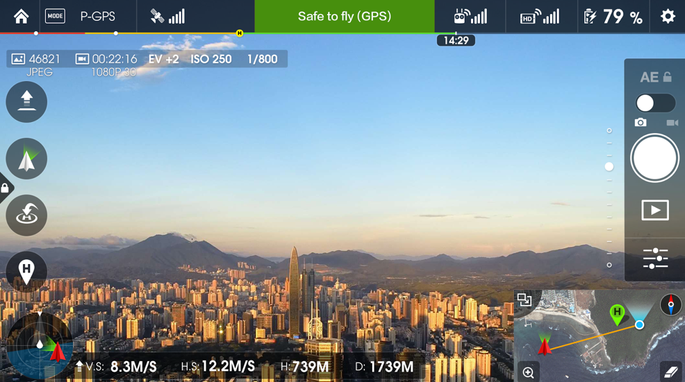
Use of GEO requires a drone firmware update and installation of a beta version of the DJI Go app.
Android users can directly download the APK file at http://bit.ly/1PyIVIA. Users of iOS devices can request a download of the beta app by providing an email address to flysafe@dji.com.
DJI expects to release a final version of GEO after a short beta period.
The GEO public beta will work with both DJI’s Phantom 3 and Inspire 1 drones, with specific versions available for download at http://www.dji.com/flysafe/geo-system.

written by
James Willoughby
James joined heliguy™ in 2018 following a 13-year stint in print and online journalism, having worked on regional and weekly newspaper titles. He is responsible for spearheading heliguy™'s content strategy and social media delivery. James collaborates with DJI Enterprise's European marketing team to coordinate and produce case studies and helps organise events and webinars.