Updated on 18 Sep 2024
Heliguy Offers AirHUD Augmented Reality Software For Drone Pilots
<p>heliguy™ is offering the AirHUD augmented reality solution. AR technology overlays digital information onto real-world environments and helps drone operators benefit from improved navigation capabilities and enhanced situational awarenes ... Read More
**
**
heliguy™ is offering the AirHUD augmented reality solution;
Benefit from improved navigation capabilities and enhanced situational awareness when flying drones;
AR helps improve safety by providing warnings and alerts to avoid collisions or hazardous terrain;
Fly more confidently without fear of losing sight of the drone or crashing into something;
AirHUD can be used in a training environment, providing additional opportunities to develop skills. heliguy™ has added AirHUD to its drone training courses to provide additional training opportunities;
Practice missions, such as inspections, in a simulated environment before conducting them in the real world, improving safety and efficiency.
heliguy™ has partnered with Anarky Labs to offer its AirHUD augmented reality solution to drone pilots - providing unlimited situational awareness during live operations and giving training candidates additional practice opportunities.
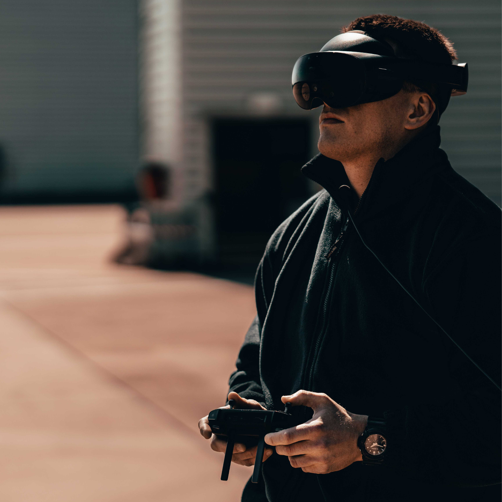
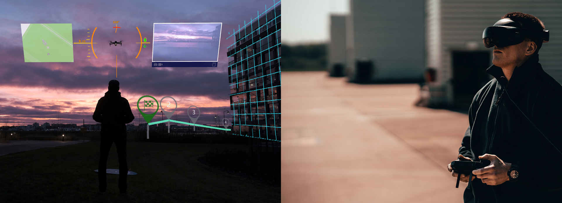
Deployed in conjunction with augmented reality goggles, AirHUD is the first real Heads-up Display for UAS operators, displaying telemetry data and location information in 3D.
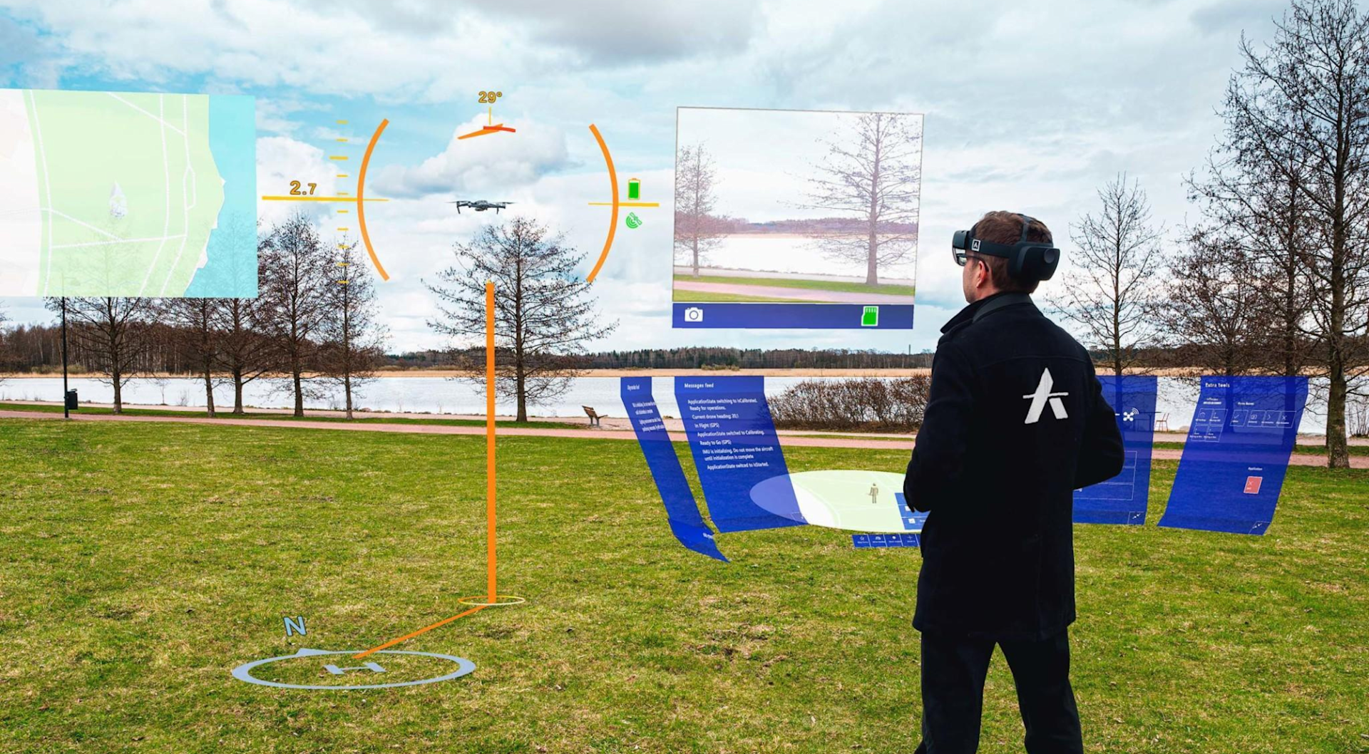
Overlaying digital information onto real-world environments, the AirHUD ecosystem provides live airspace awareness to help remote pilots better understand the position of their drone and objects around it, and allows them to see the aircraft in the sky at all times - even if it becomes obscured by an obstacle.
AirHUD's visualisation experience is a powerful solution for beyond visual line of sight (BVLOS) or night-time operations, and is particularly effective for enterprise drone pilots, enhancing the safety and effectiveness of operations such as critical infrastructure inspections or public safety missions.
AirHUD can also be used as a training tool and heliguy™ is introducing the AirHUD Simulator to its drone training courses to enable candidates to hone their skills in a simulated, safe, and controlled environment.
Ben Shirley, Training Development Manager at heliguy™, said: "AirHUD simulator is the closest thing to flying a drone, than actually flying one. It provides an immersive and functional interface, improving the Remote Pilot's awareness of positional and location data, proximity to obstacles and sensor function, similar to a virtual cockpit.
"We continue to innovate our training delivery and we're integrating AirHUD simulator into our training courses to complement the skills taught to learners during their 1-2-1 practical flight training, and apply them in mixed reality.
"Anarky Labs continues to innovate and refine the experience and increase functionality on all levels. It's our aspiration for this to become a recognised drone Flight Simulator Training Device (FSTD) and contribute to remote pilot competency and currency; something we're actively working towards."
AirHUD Software: Enhancing Situational Awareness For Drone Pilots With Augmented Reality
AirHUD is a subscription-based software product installed on a smart controller and VR goggles, such as MetaQuest Pro or Microsoft Hololens 2.
Using augmented reality to enhance situational awareness, AirHUD enables operators to absorb airspace data through the goggles, obtaining visible and concealed information in real time, such as distance to buildings, their flight path, potential obstacles, airspace classification or restriction zones, and drone information, such as speed, altitude, and battery life.
This immersive flight view allows pilots to efficiently plan flight routes and monitor critical parameters without looking away from the drone or relying solely on the remote controller's screen - enhancing situational awareness and increasing operational efficiency and safety by avoiding crashes, and resulting in more effective decision-making.
Visual indicators within AirHUD's virtual interface pinpoint the drone in the sky with elements including height and heading, removing the guesswork from which way the drone is pointing. All of the basics like battery life are clear, as are regulatory limitations: An altitude limit becomes a red ceiling over the drone, while the appropriate distance to maintain from a structure is a visual wall.
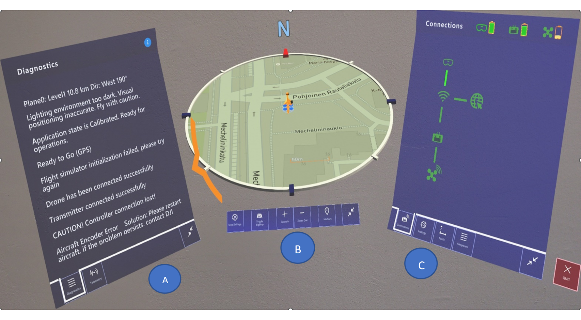
The real-time video displays beside the aircraft; and a map of the area, showing streets and structures, indicates where the drone is in real geography.
Pilots can also see a large 3D map which displays the whole operation at a glance, including waypoints. Places of interest can also be dropped on the map.
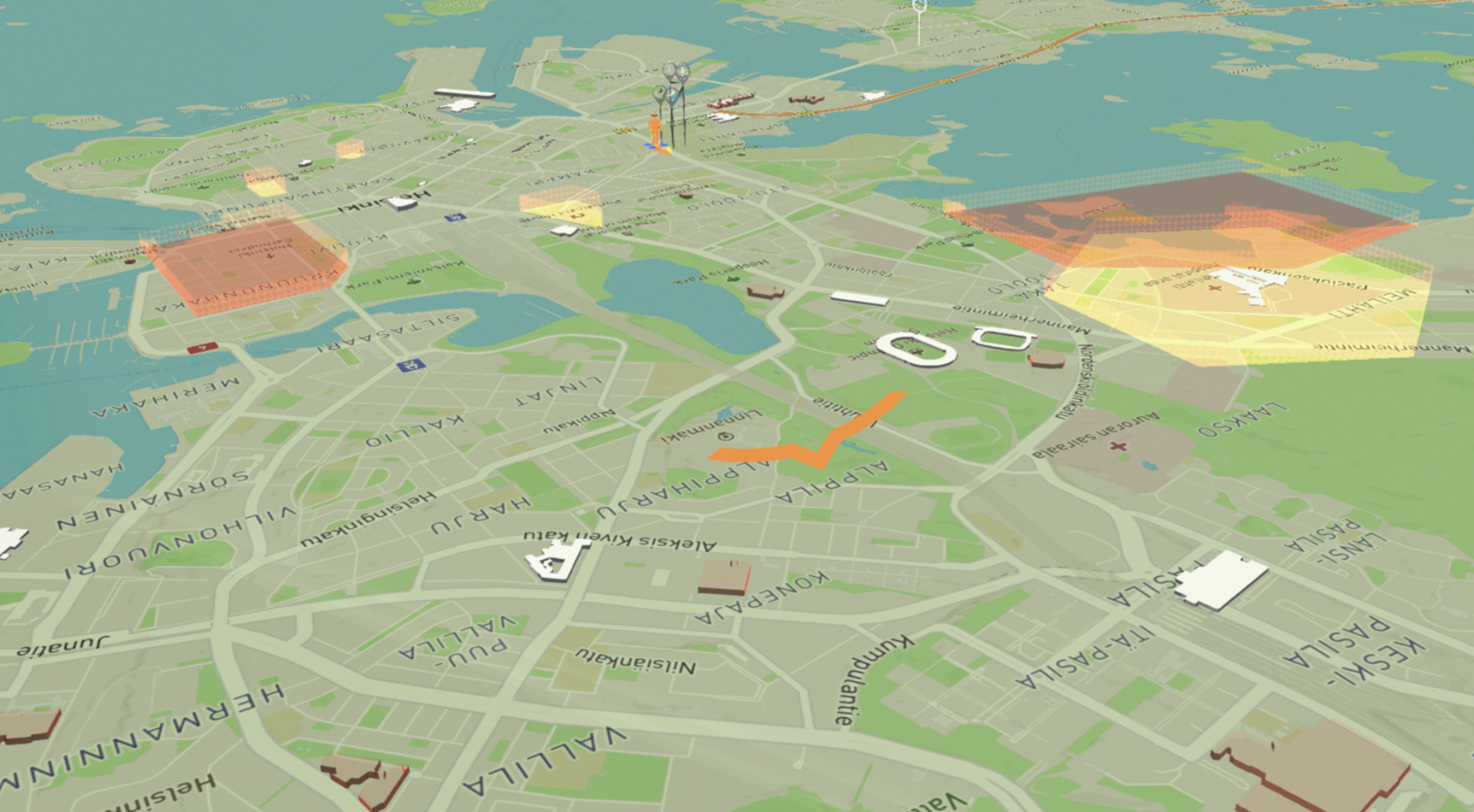
AirHUD is a particularly useful tool for aiding BVLOS (Beyond Visual Line of Sight) and/or night operations:
Fly the drone behind obstacles, such as buildings, and still see its location and relationship to surroundings, intuitively.
Conduct night operations as the drone is always pinpointed in the air, no matter how far away.
Height indicators are always displayed to allow for safe flights, even during partially or totally BVLOS operations.
Benefits Of Augmented Reality For Commercial Drone Operations
AirHUD can be used to benefit real-world commercial drone operations, such as public safety, search and rescue, or the inspection of critical infrastructure.
Public Safety: Incident commanders can use the map function combined with the streaming video to better understand the likely path of a moving suspect, or an evolving traffic or vehicle-related incident, or to plan security missions.
Search and Rescue: Fly with confidence over long distances; continue to operate in the dark; obtain clear indications of the search area; overlay digital data onto real-world environments to provide rescuers better understanding of their surroundings.
Inspections: AR provides a real-world view of equipment, allowing teams to understand its current state; improve accuracy and efficiency by overlaying analysed data onto infrastructure to pinpoint the exact location of defects or damage; improve safety by obtaining information about the distance of the drone to the target, such as a wind turbine blade.

Mining: AR technology allows geologists, miners, and engineers to collaborate remotely, sharing drone footage, geological data, and AR overlays to discuss findings, plan operations, and troubleshoot issues.
Ben said: "By enabling pilots to see their drone in the context of spatial reality and regulations, AirHUD provides incredible situational awareness, which makes flights more effective, and crucially, more safe.
"Pilots know exactly where their drone is at all times and the visualisation data helps to make abstract things more concrete.
"One of the biggest appeals of AirHUD is its versatility: For beginners, it provides an easy way of understanding the regulations in context with drone flight, while it can also enhance operations for more experienced pilots who are deploying drones on enterprise applications.
"And moving forward, software like AirHUD could form an integral component of a BVLOS workflow."
AirHUD Simulator: Augmented Reality For Drone Training
AirHUD can also be used as a training tool, helping pilots enhance their skill sets and prepare for complex missions in a simulated environment.
Benefits include:
Practice flight skills in a safe and controlled environment, without risking damage to the drone or property, and without being hindered by the weather.
Master complex flying scenarios and emergency procedures - simulating flights that follow CAA regulations - ahead of the practical flight assessment.
Real-time and authentic feedback on drone operation.
Simulate flying in real-world environments: Particularly effective for remote pilots who are preparing to conduct complex operations, such as inspecting critical infrastructure. Improve skills and increase confidence before conducting the real mission.
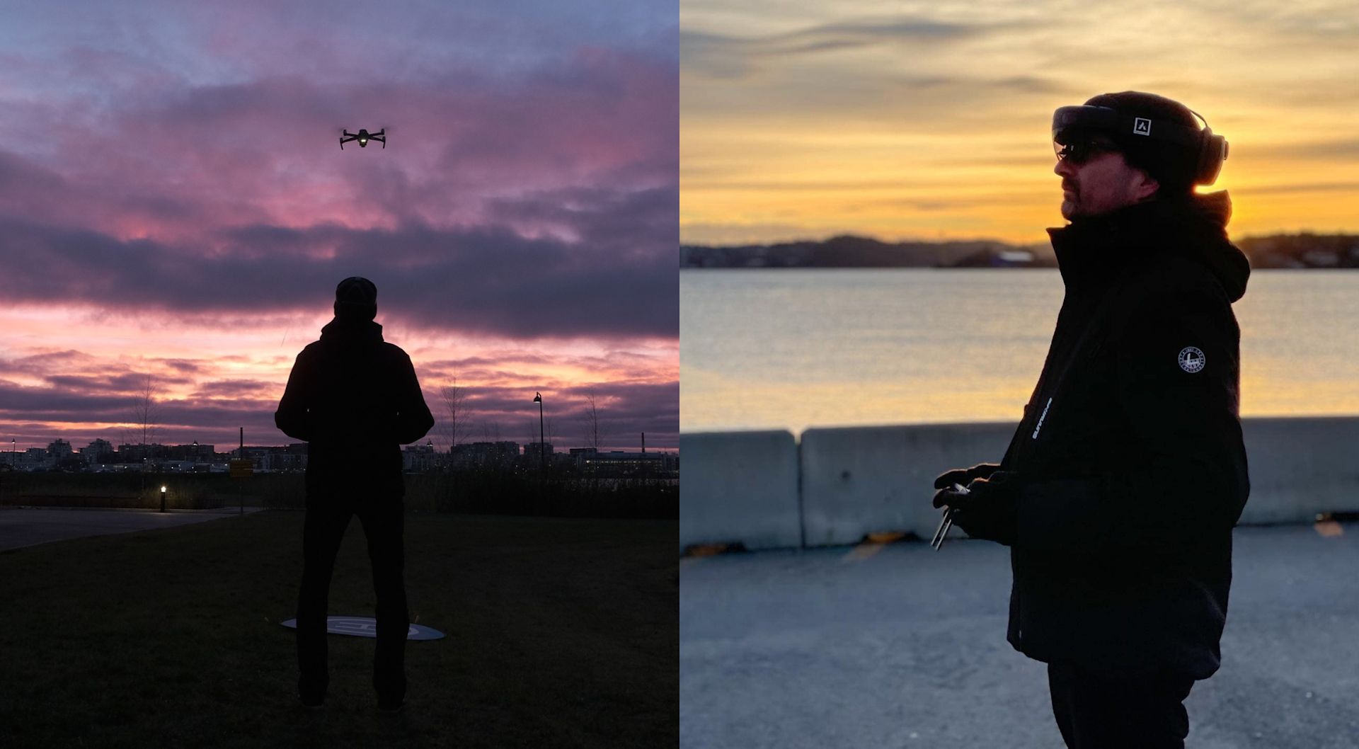
Drone pilots can master their skills in three stages:
Simulated drone in simulated environment with a real controller - train indoors without fear of damage to expensive equipment.
Simulated drone in real environment - create training scenarios at a real location in a safe set-up. This is ideal for operators wanting to conduct missions like complex inspections: Fly a simulated drone around a real turbine or flare stack.
Switching to a real drone in a real environment.
The AirHUD Simulator is compatible with a range of DJI drones, including the M300 RTK, making it an ideal training companion for enterprise drone tuition.
And heliguy™ is introducing AirHUD into its drone training.
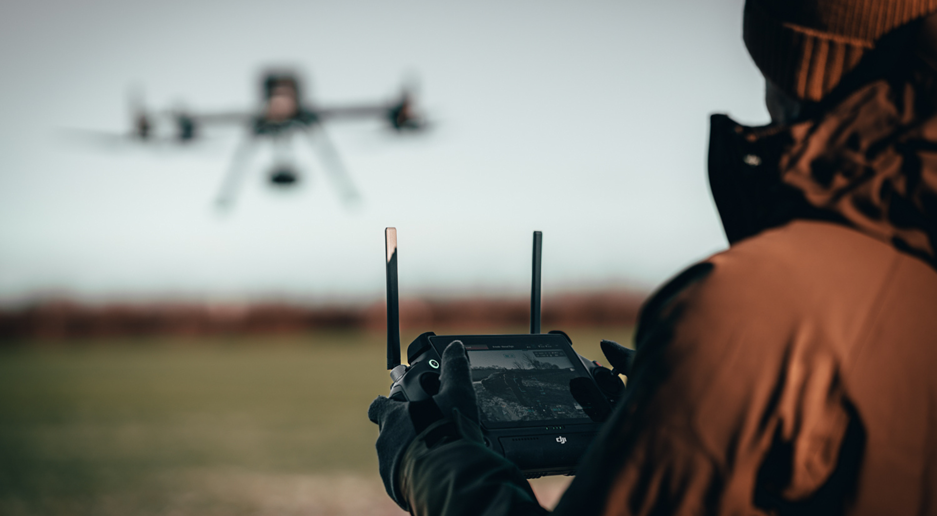
Course participants can now utilise the AirHUD Simulator to complement the practical flight training element of their GVC (General Visual Line of Sight Certificate) learning.
Currently, the AirHUD Simulator will be used purely as a training tool, but it is the aspiration of heliguy™ for simulators like this to be recognised as a form of bolstering pilot currency, and we are having discussions with the CAA.
Ben said: "AirHUD is an industry-leading mixed-reality platform, and we are excited to be introducing this to our training as we believe it has very tangible benefits to help our candidates bolster their flight skills.
"We have already deployed it during a recent ES-DOT (Emergency Services Drone Operator Training) course with South Yorkshire Police and it was a great addition to the training, while other enterprise clients we have demonstrated it to could see the benefits immediately.
"While simulators like this do not currently contribute to flight currency, it does enable our learners to practice their flight skills and maximise the opportunity throughout their course, and we hope to persuade the CAA to accept simulators like this as a Flight Simulator Training Device."
To discuss using AirHUD to benefit your drone operations, contact us.

written by
James Willoughby
James joined heliguy™ in 2018 following a 13-year stint in print and online journalism, having worked on regional and weekly newspaper titles. He is responsible for spearheading heliguy™'s content strategy and social media delivery. James collaborates with DJI Enterprise's European marketing team to coordinate and produce case studies and helps organise events and webinars.