Rental Mavic 3 Multispectral
Purchase Price: £4,839.00
Please book your rental online at least 48 hours in advance. If you require it sooner, kindly call us
Rent the DJI Mavic 3 Multispectral - a portable and lightweight drone designed for precision agriculture and environmental monitoring.
DJI Mavic 3 Multispectral Features four 5MP multispectral cameras and a 20MP RGB camera, and can fly for 43 minutes.
About This Rental Combo Includes the drone, 3 flight batteries, controller, charging hub, and carrying case. Add accessories to tailor your package.
Drone Rental Benefits Drone hire is more cost-effective than an outright purchase and enables you to access the technology only when you need it.
What Do I Need To Book A Rental?
Provide us with some key documents - then enjoy your hire
Insurance
Insure your rental under a Hired-in (non-owned) equipment cover policy - to the full cost value of the equipment and for the duration of your hire period.
Flyer ID
You must have a valid Flyer ID and secure your Operator ID to your drone. We don't require proof of drone registration or drone training (A2 CofC or GVC).
Proof of ID
After check-out, we'll ask for a copy of your passport or driving licence, plus a utility, bank, or council tax statement matching your name/delivery address.
- Overview
- Contents
- Specifications
- Support
- Rental Process
- FAQ
DJI Mavic 3 Multispectral Key Features
Efficient crop growth monitoring
Integrated solution with multispectral and RGB cameras:
Four 5MP multispectral cameras (green, red, red edge, and near-infrared).
20MP 4/3 CMOS RGB mapping camera with mechanical shutter.
Built-in RTK Module for centimetre-level RTK positioning.
Compact and portable.
Omnidirectional obstacle avoidance.
Efficient surveying - cover up to 200 hectares per flight.
Enables operations such as precision aerial surveying, crop growth monitoring, and natural resource surveys.
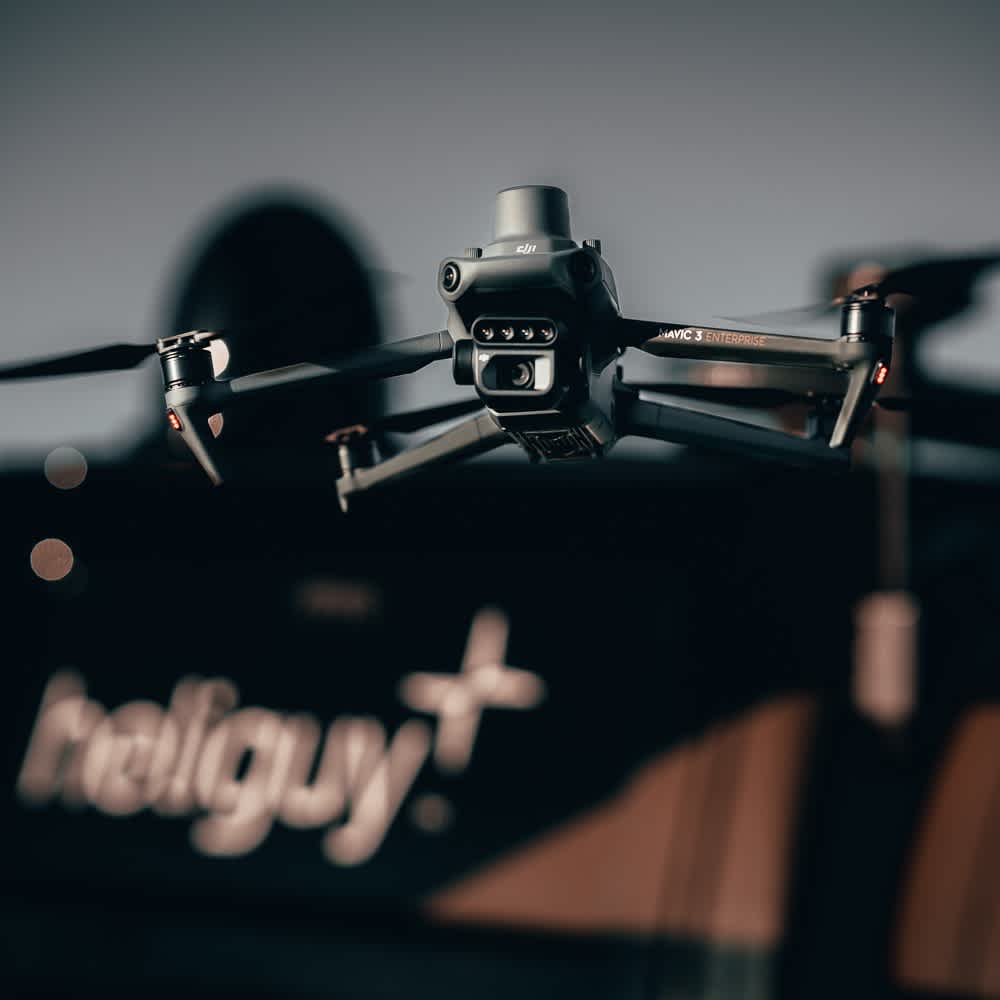
Upgraded Imaging System
Multispectral & RGB data collection
Newly-upgraded imaging system with one 20MP RGB camera and four 5MP multispectral cameras.
The multispectral camera combines Green (560nm ± 16 nm), Red (650 nm ± 16 nm), Red Edge (730 nm ± 16 nm), and Near-infrared (860 nm ± 26 nm) sensors.
Obtain insights on plant stress, growing cycles, chlorophyll content in leaves, and water and nitrogen levels in the plant canopy.
The 4/3 CMOS wide sensor, with mechanical shutter and 0.7s shooting interval, empowers agriculture and mapping workflows.
Built-in sunlight sensor allows for light compensation of image data during 2D reconstruction for more accurate data.
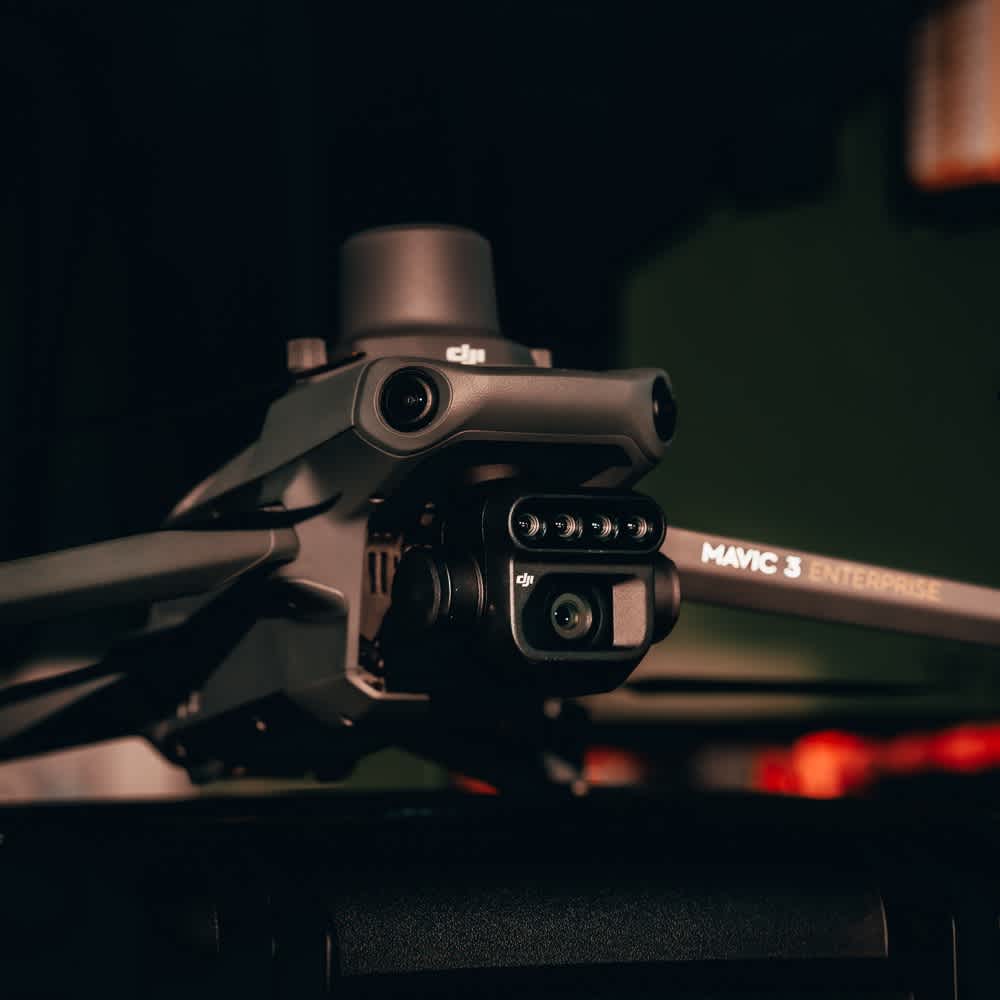
RTK Module Included
Precise aerial surveys
The drone comes with an RTK module, facilitating precise and efficient aerial surveys without requiring ground control points.
RTK module enables centimetre-level positioning. Flight control, the camera, and the RTK module sync in microseconds to accurately capture the location of each camera's imaging centre.
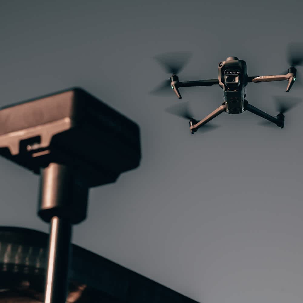
Enhanced Safety Features
Obstacle detection for seamless flight
Data from six vision and two wide-angle sensors is assessed in real-time, enabling the drone to detect obstacles in every direction. When using Avoid mode, the flight path is rerouted accordingly.
O3 Enterprise Transmission provides a reliable link between pilot and aircraft, with an 8km (CE) maximum transmission range.
Mavic 3 Multispectral comes with DJI Enterprise Shield crash cover (Basic, 1 year).
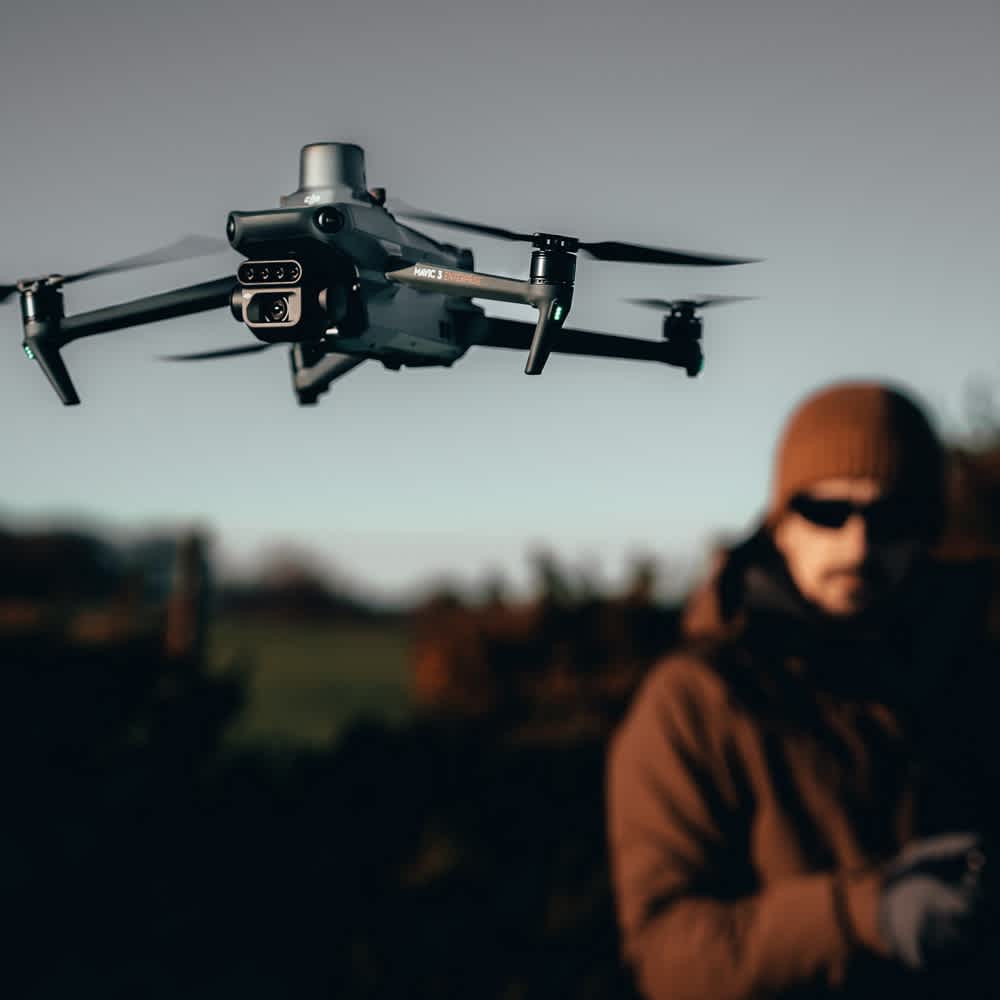
Smart Terrain Follow
More accurate data collection
Smart Terrain Follow helps you maintain an even altitude as you fly a survey mission across varying terrain.
This secures the integrity of your data while it’s gathered, without having to account for any differences in post-processing.
Use a DSM or local elevation data, or rely on the drone's collision avoidance sensors to detect the ground and adjust flight altitude accordingly.
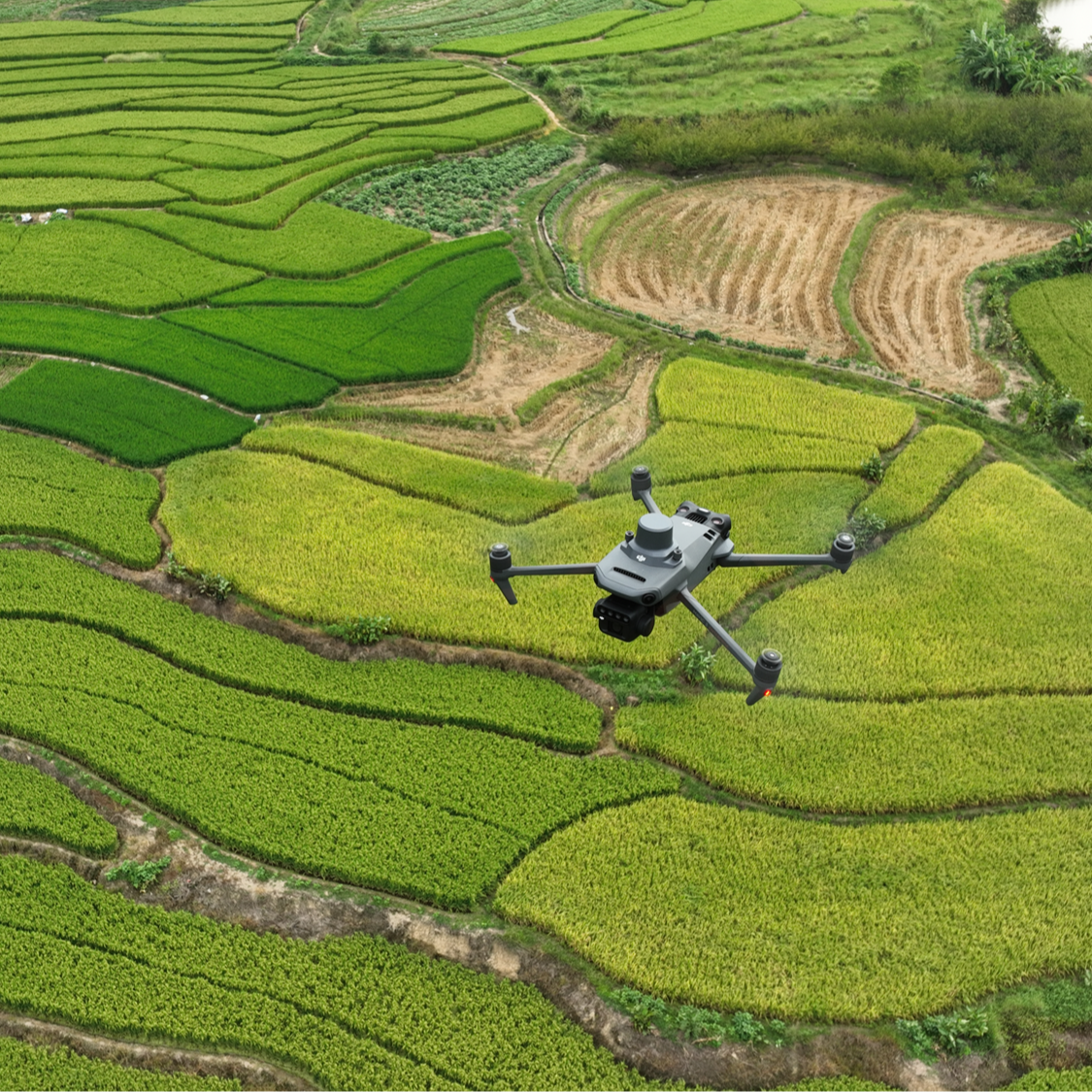
DJI Mavic 3 Multispectral Applications
Precision agriculture
Orchard Mapping: Survey the orchard; use DJI Terra or DJI SmartFarm Platform to reconstruct high-resolution maps and automatically identify the number of trees; generate 3D operational routes for agricultural drones.
Guide Variable Rate Applications: Obtain multispectral crop images; use DJI Terra or DJI SmartFarm to generate vegetation indices maps; create prescription maps for agricultural drones to execute variable-rate application.
Intelligent Field Scouting: Upload images to DJI SmartFarm in real-time with a 4G network. It can find abnormalities and conduct analysis, using AI identification, for crop growth information.
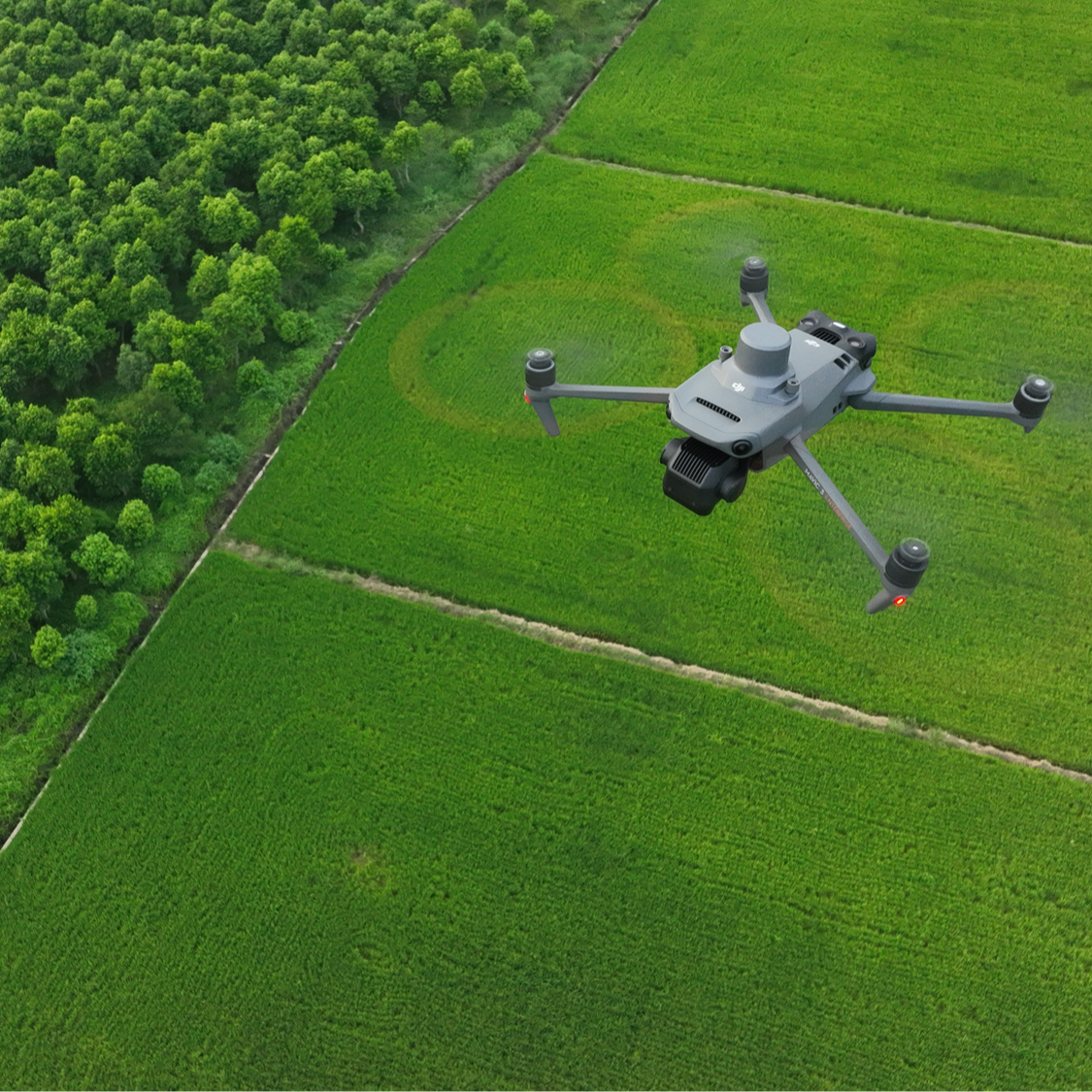
Full Software Suite
End-to-end workflows
DJI SmartFarm enables mission planning, fleet overviews, field management, data assessments, and coordinating spraying and spreading operations.
Use DJI Terra to create maps and models of your targets. Mavic 3 Multispectral comes with a three-month DJI Terra Full licence (one device) and one-year access to the DJI SmartFarm Platform.

Why you should buy from heliguy™?
Comprehensive, lifetime assistance to help you start and scale your operations.
Streamlined Delivery
Free Next Day Shipping Over £99 and 50-Day Free Returns on Faulty Items.
Trusted UK Partner
20 years in UAVs, expertise in repairs, servicing, training, and insurance.
UK Support
In-country technical support line staffed by four trained technicians.

